Magnificent Machu Picchu by Maya Yette

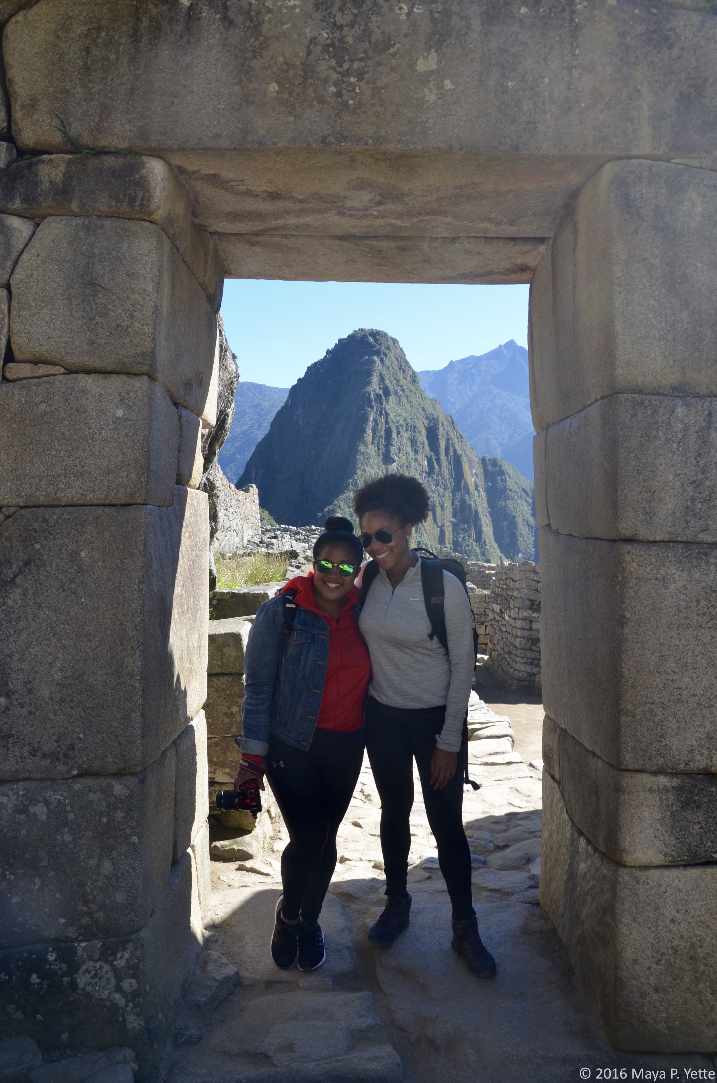
When you live in Cusco for a month, it’s impossible not to visit Machu Picchu, the famed city built by the Incas in the 15th century. With two visitors in two weeks (first my friend, Janelle, and then my mom), I was lucky enough to visit Machu Picchu twice during my month in Peru.

My first visit to this UNESCO World Heritage Site was on a one-day trip with Janelle; we did the Llama Path one-day train and if you’re short on time, I highly recommend it. When my mom came to visit the following week, we spent three days at the Belmond Sanctuary Lodge, the only hotel at the entrance to Machu Picchu (all others are in the nearby town of Machu Picchu Pueblo - formerly Aguas Calientes - which requires a round trip bus up and down the mountain).

Getting to Machu Picchu

You can skip over this section if you’re interested in what it’s like to hike the Inca Trail or any of the other multi-day treks that get you from Cusco to Machu Picchu. I took a train both times I visited, for reasons of both time and convenience, not to mention a little luxury. The Belmond Hiram Bingham train ride has been called one of the best train rides in the world and it was definitely a treat! We arrived at the train station in Poroy, about 30 minutes from Cusco, and were greeted with live music and champagne. The train ride was a scenic 3.5-hour journey through the Peruvian countryside, which took us past remote villages and dense vegetation, across rivers and below mountains that stretched high above us. Onboard the train, we had a three-course lunch (trout carpaccio, steak and cheesecake for dessert) and wine, accompanied by more live music. On the return journey to Cusco, we took the Vistadome train, the main highlight of which was an entertaining fashion show put on by the train staff, showcasing all manner of clothes made from super soft baby alpaca wool. 

 The Citadel

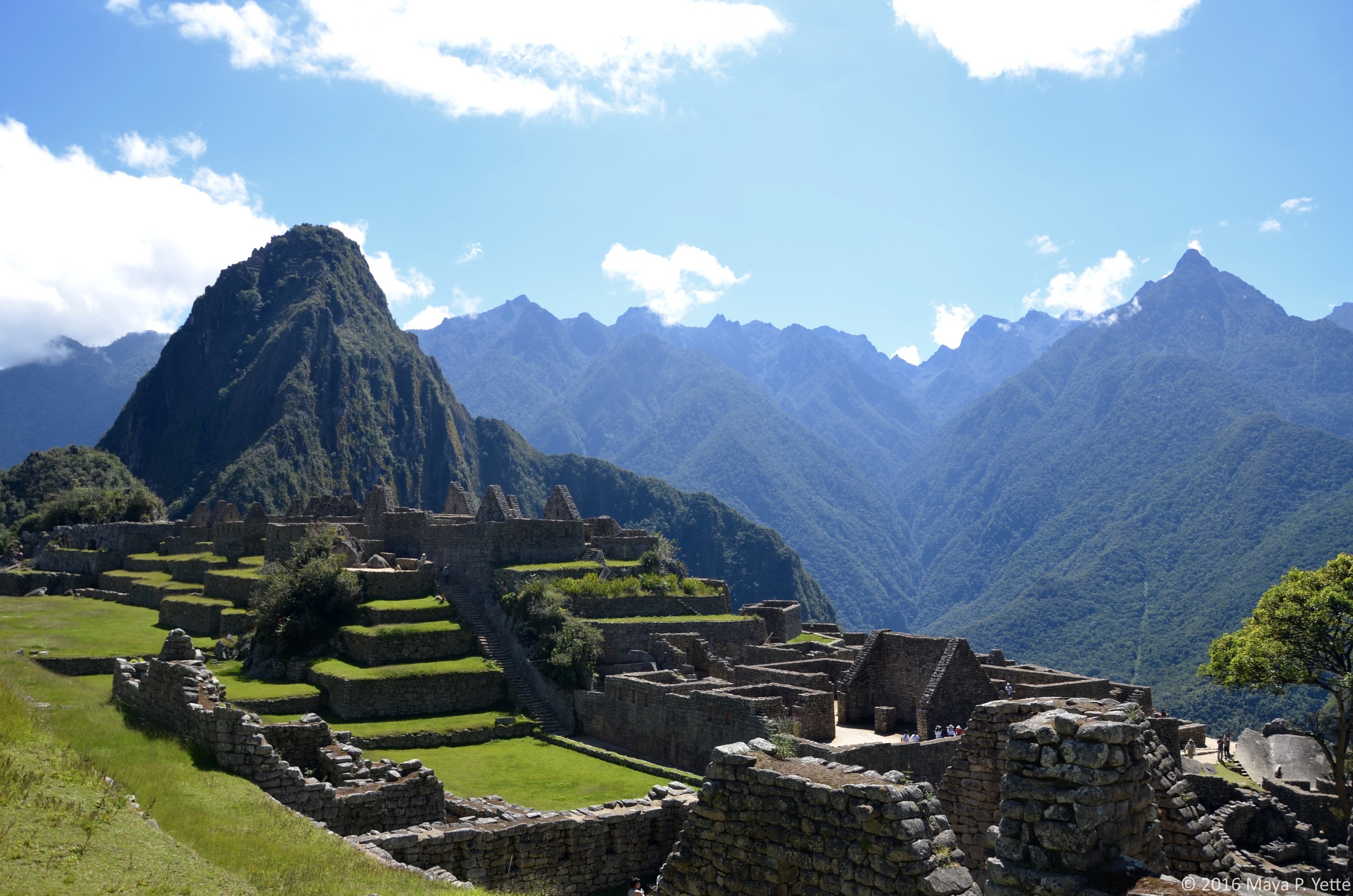
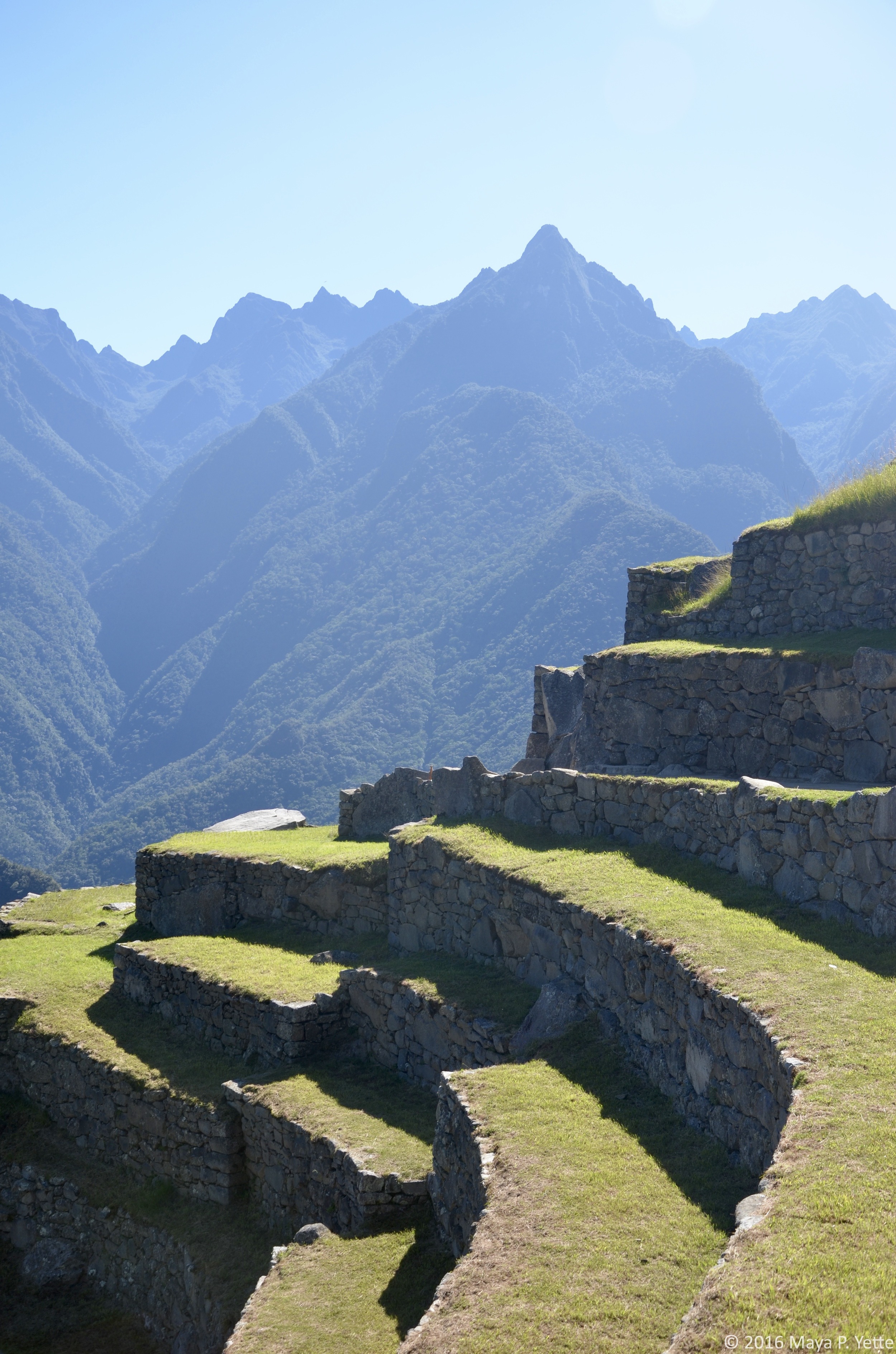
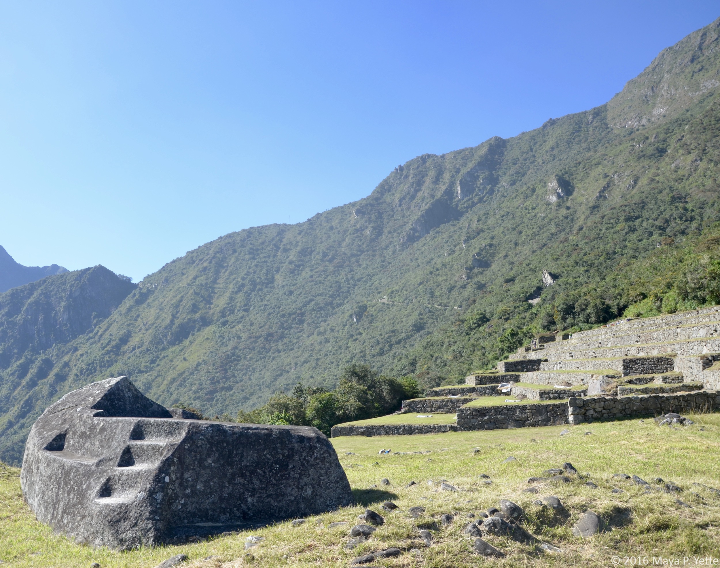
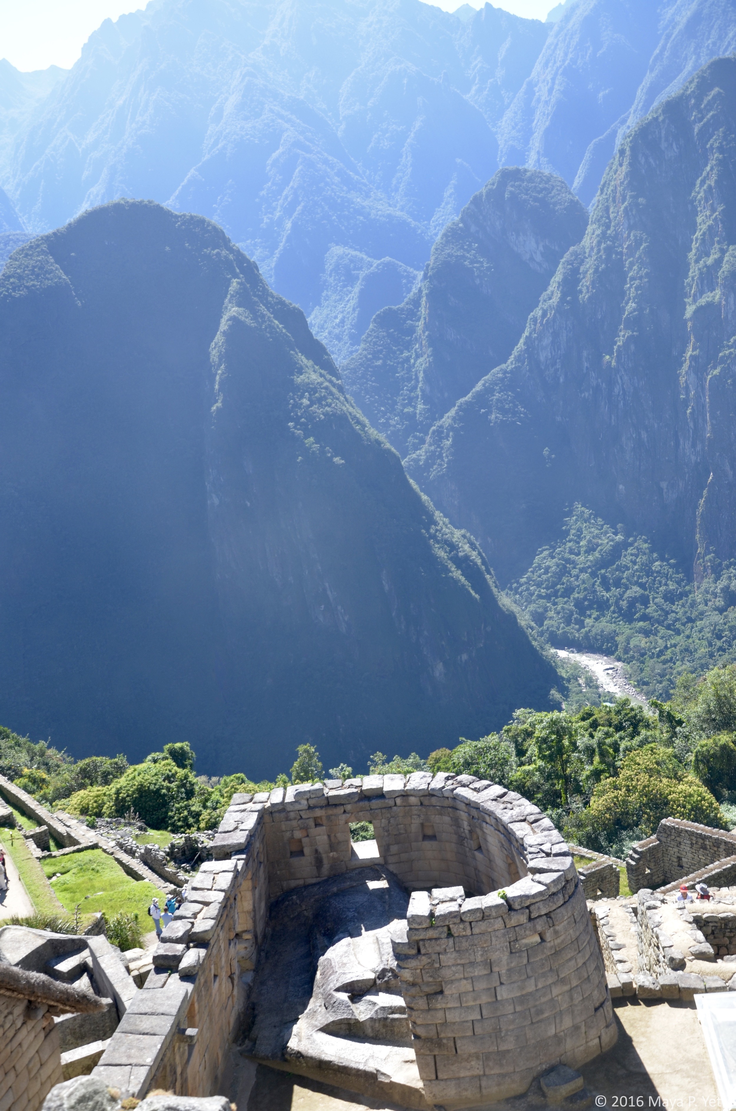
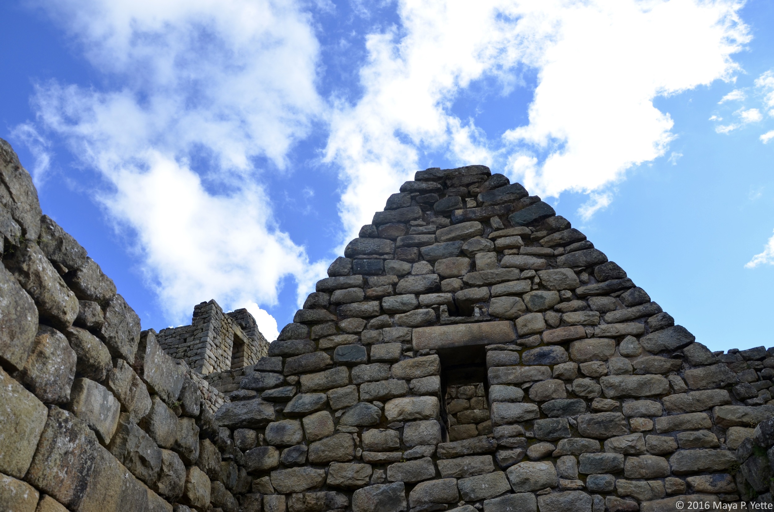
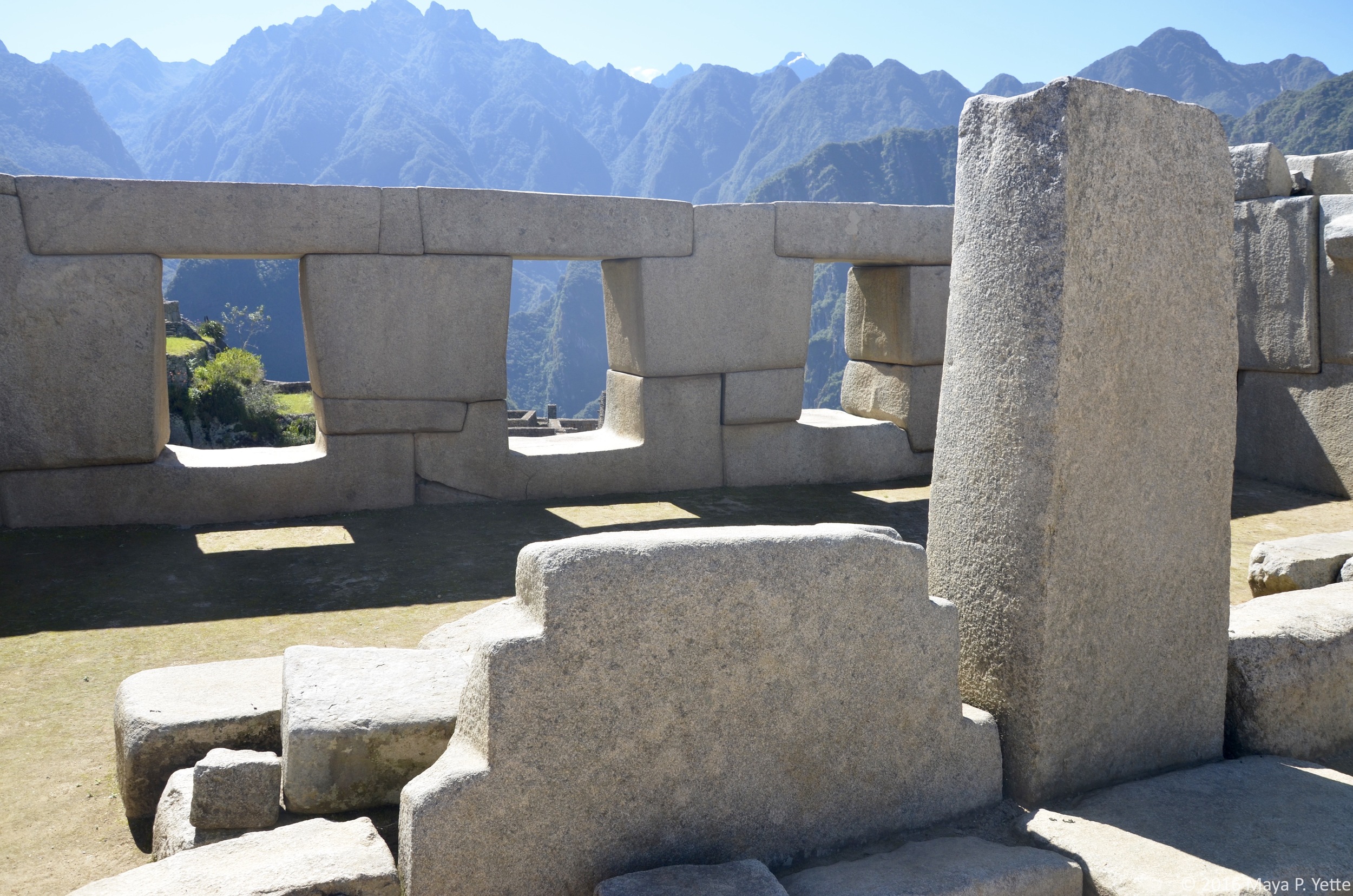
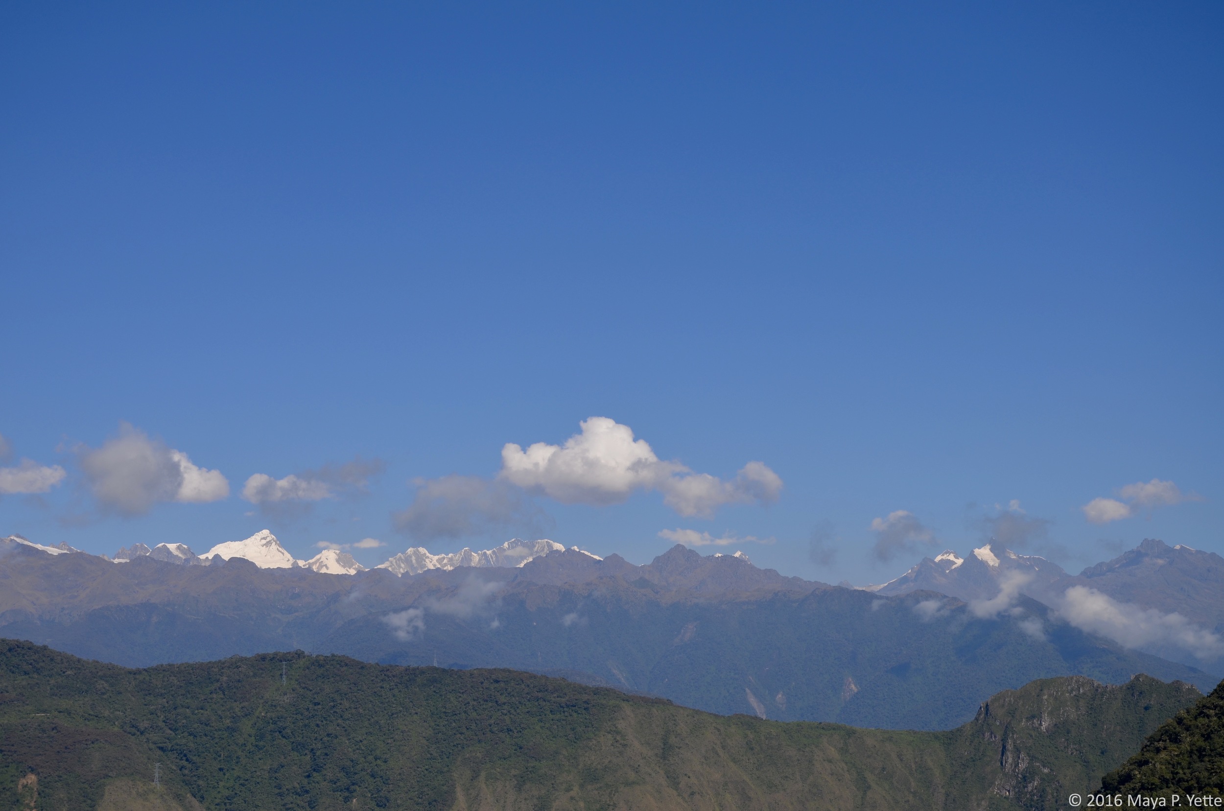
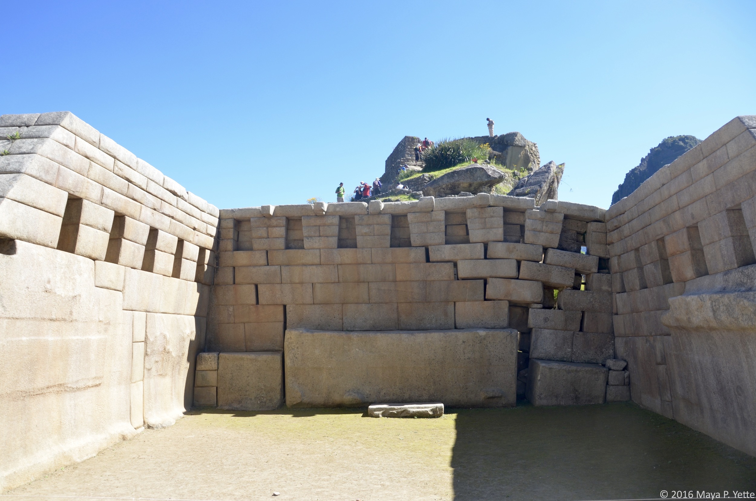
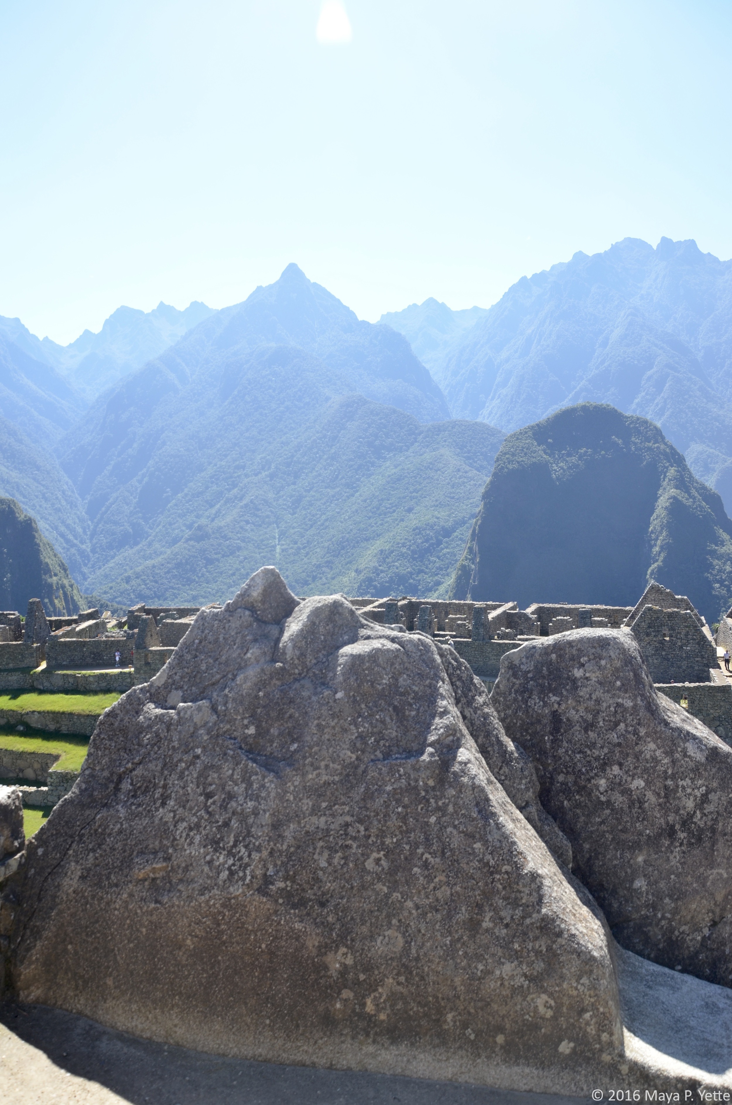
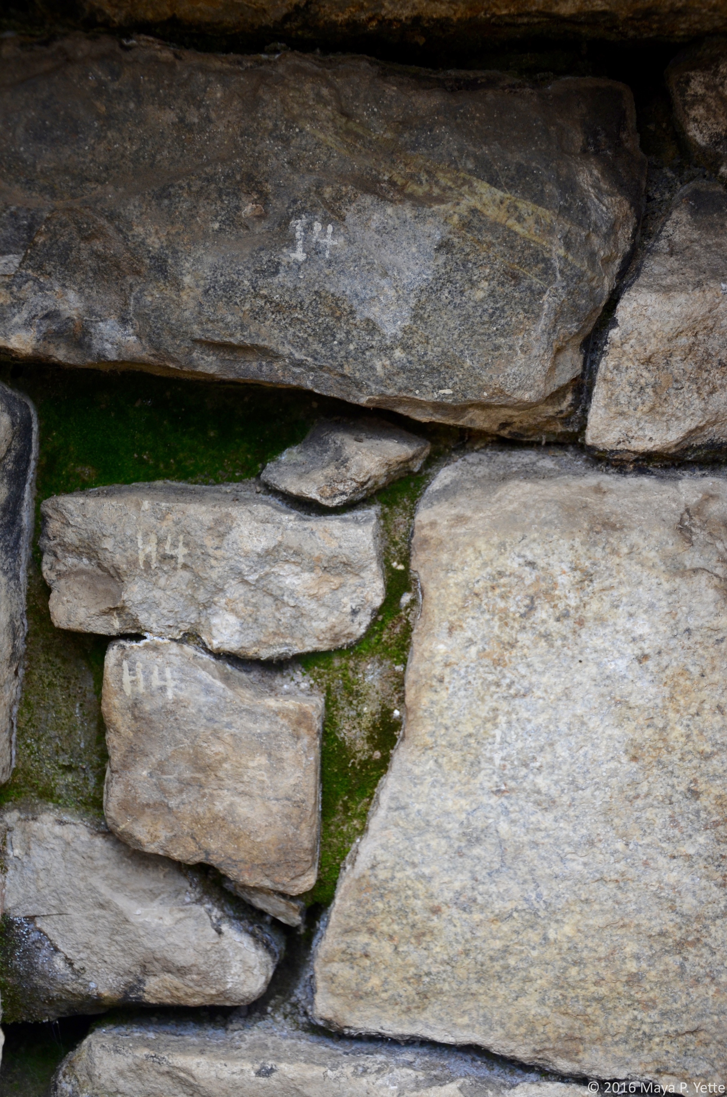
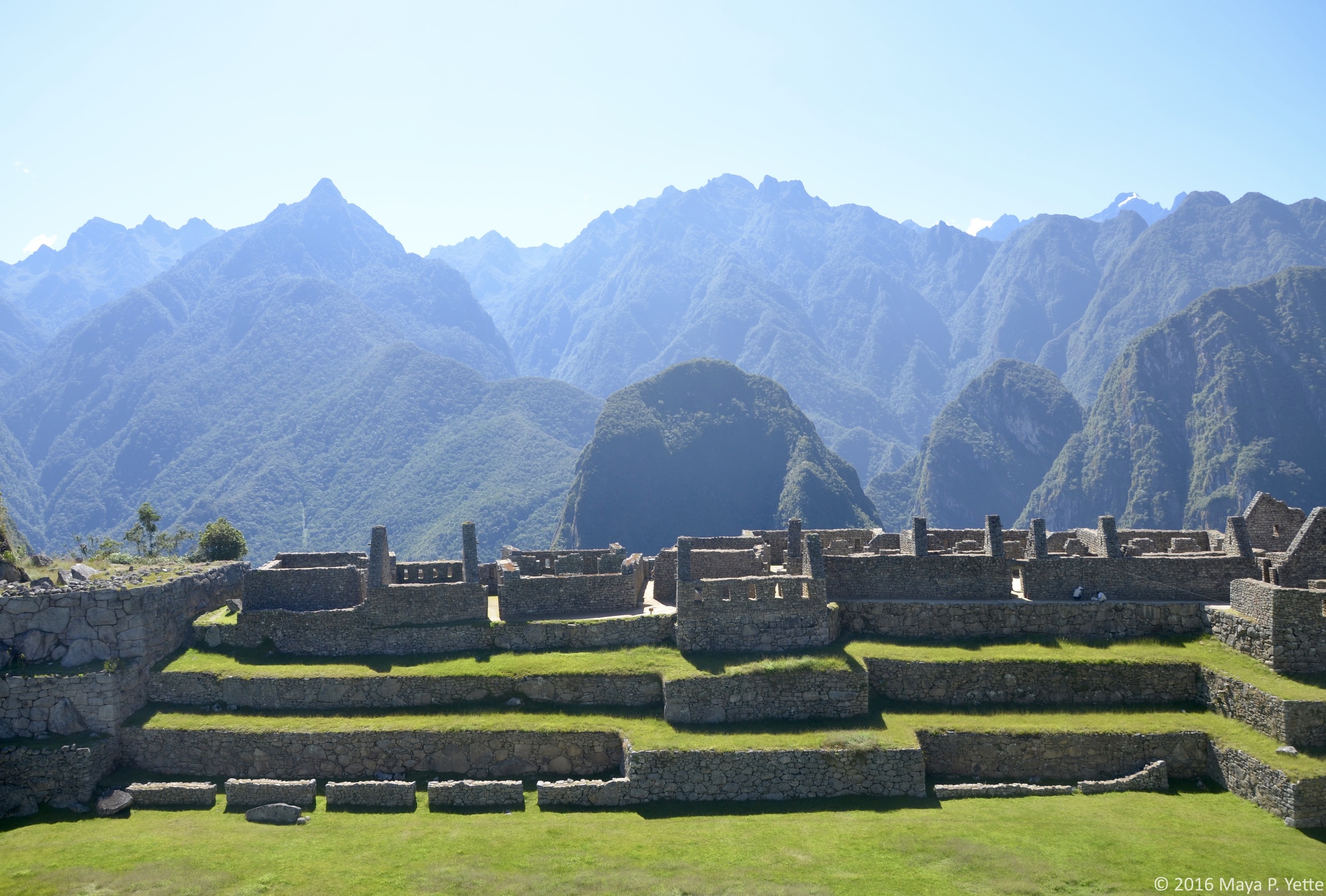
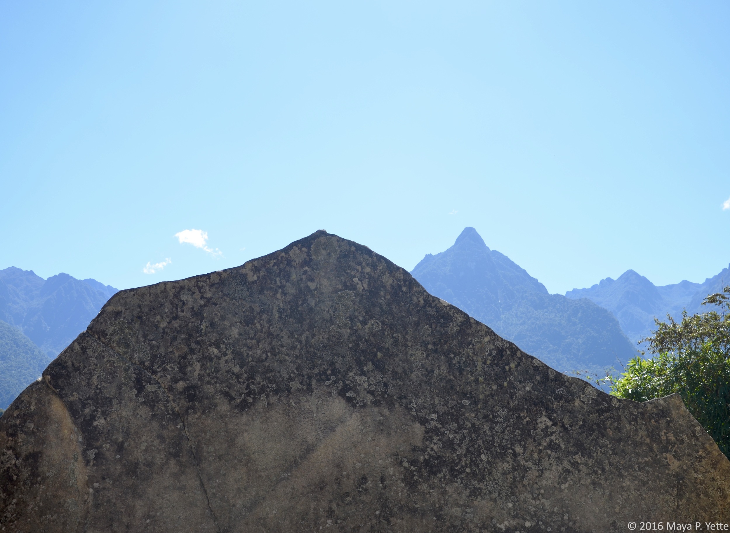
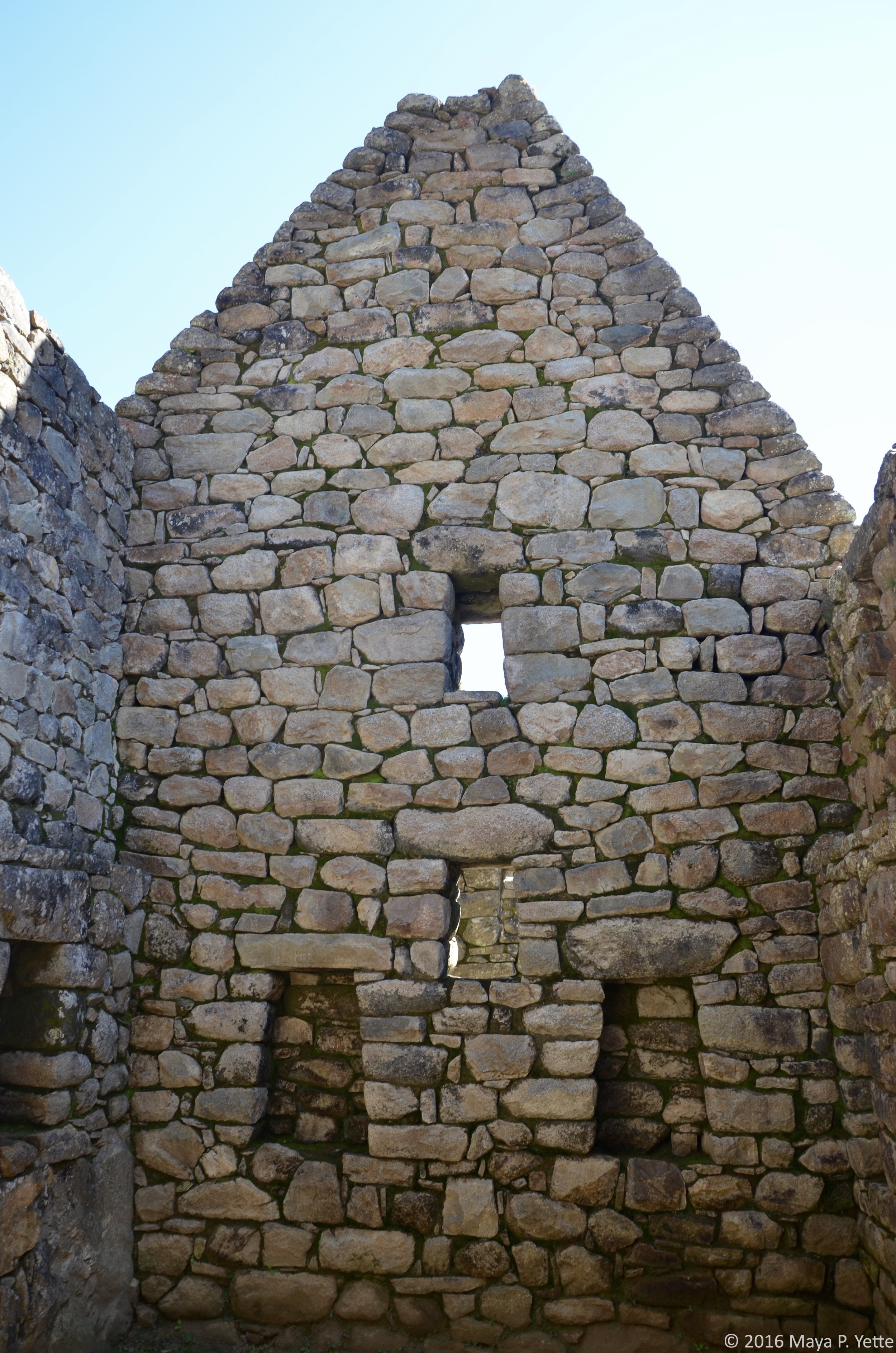
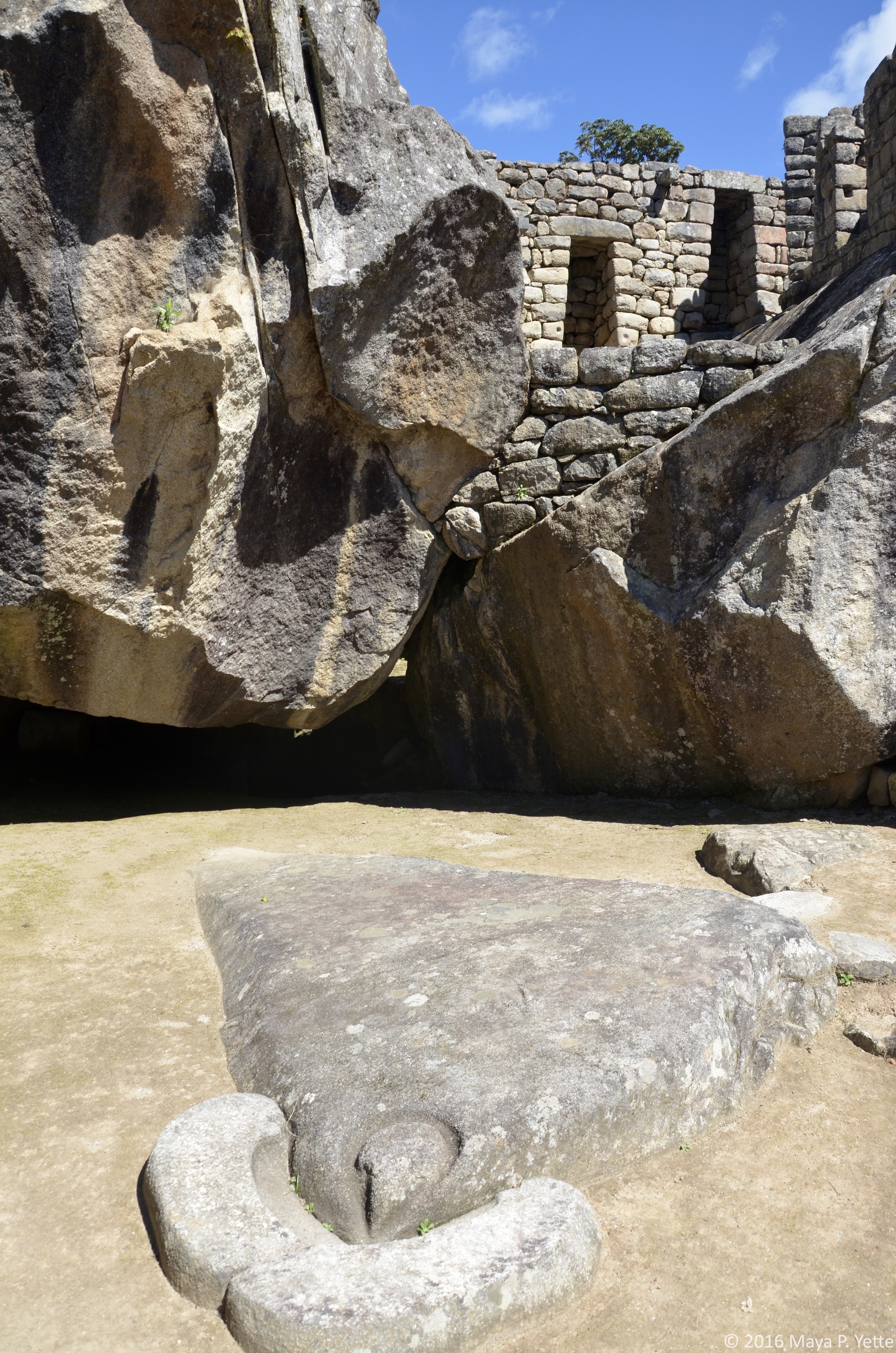
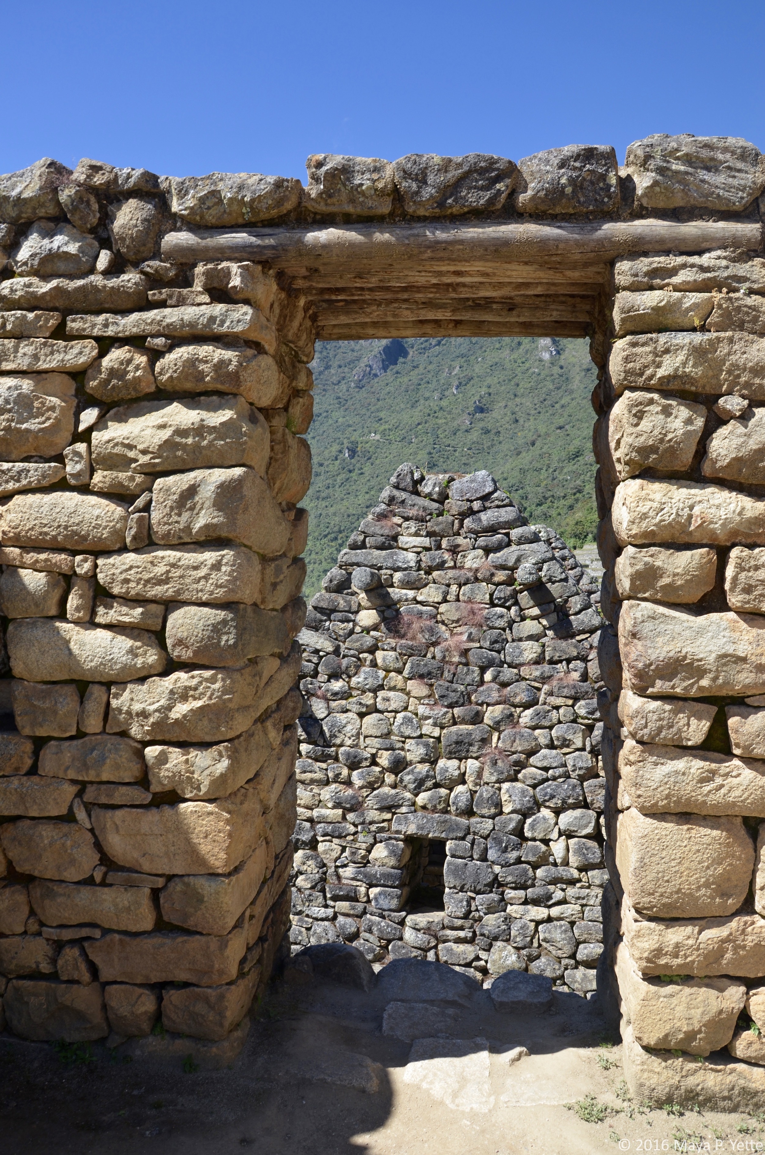
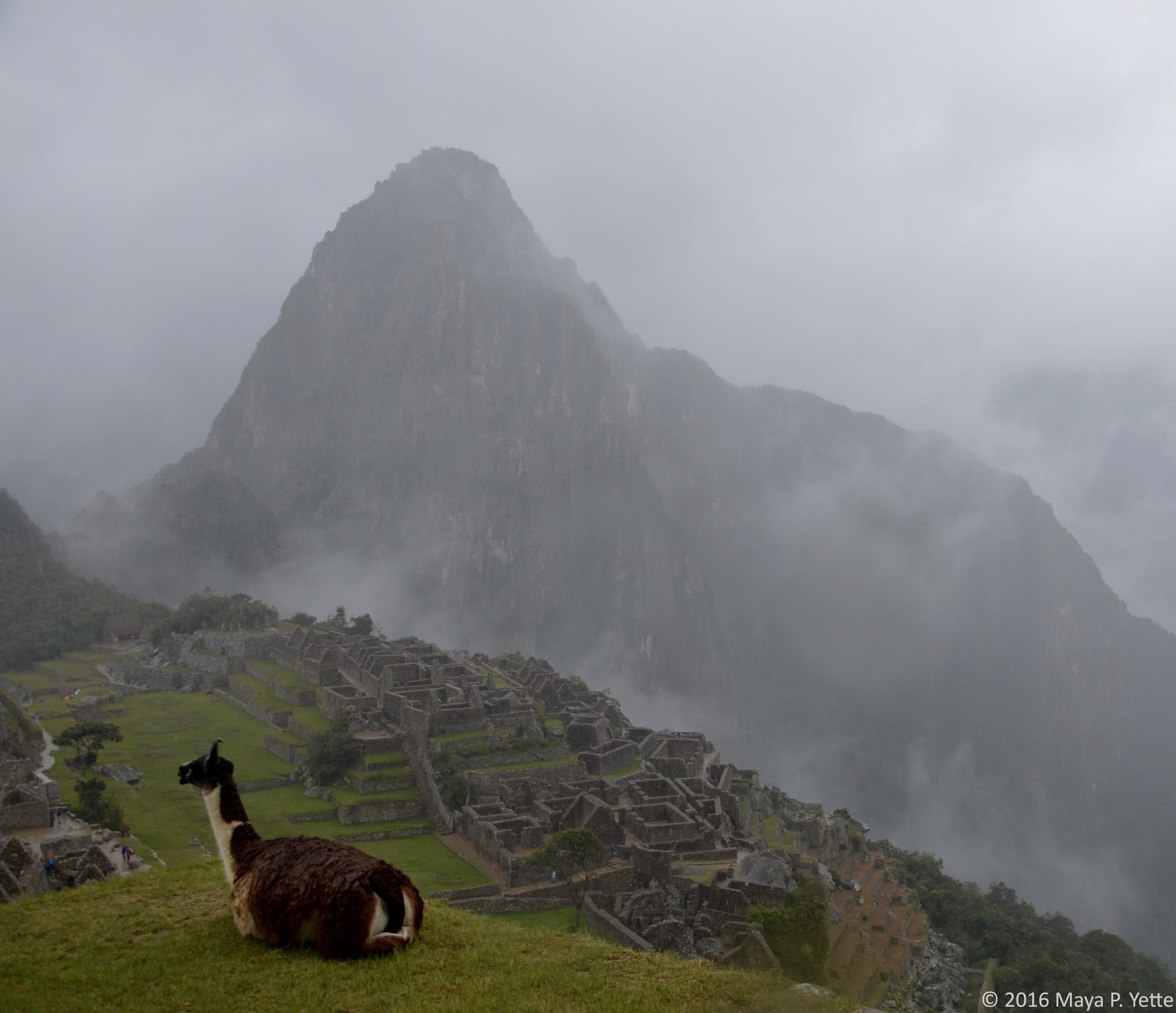
In a word: breathtaking. The crowds at Machu Picchu are sometimes overwhelming and it is a very touristy place, but upon seeing the historic city, with Wayna Picchu Mountain towering in the background for the first time, it is not hard to understand why. In my opinion, the best way to start a tour of the Citadel is to climb the steep steps to the left as soon as you pass through the entrance gate and make your way up to the guard house. From this vantage point, you can appreciate the Citadel in its entirety before heading down the steps to get a closer look. Every aspect about the way Machu Picchu was constructed is a reminder of just how intelligent and advanced the Incas were. There’s the irrigation system that prevents flooding when it rains and still carries water down to the city from Machu Picchu Mountain. There’s the fact that the temples were constructed with such care and precision that there is no mortar holding the massive rocks together. There’s the Sun Temple, where windows were carved into the rocks to let in light in the exact spot where the light at sunrise hits on both the Summer and Winter Solstices. I could go on, but you really should visit and see for yourself.

Wayna Picchu

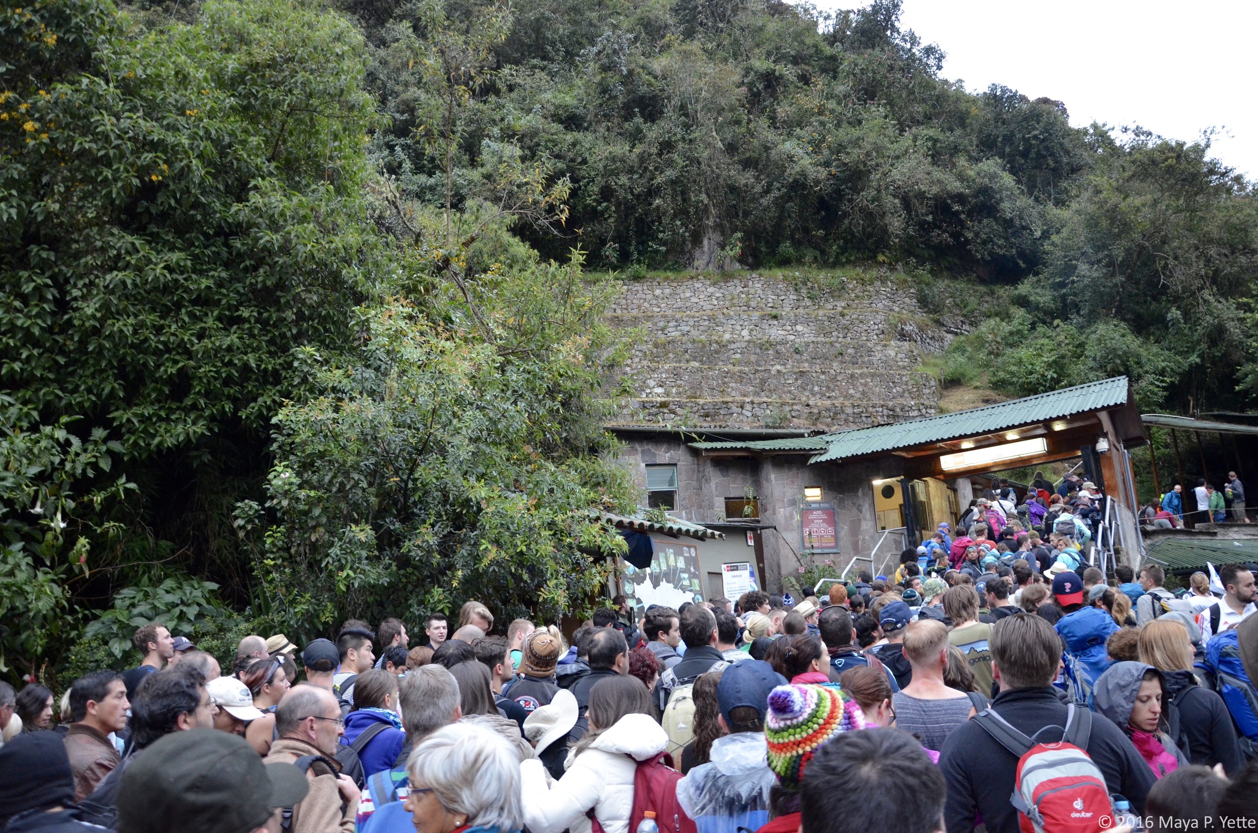
On a rainy and gray Friday morning, one week after I first visited Machu Picchu with Janelle, I woke up at 5 a.m., filled with excitement to climb Wayna Picchu. I ate a light breakfast at the hotel and then joined the other tourists already in line to enter Machu Picchu when it opened at 6 a.m. I was surprised to find no line when I arrived at the gate to Wayna Picchu around 6:30 a.m., so I sat and read my book until the gates opened at 7 a.m. Only 400 people are allowed to climb Wayna Picchu per day – 200 are allowed to enter beginning at 7 a.m. and another 200 beginning at 10 a.m., so it’s necessary to buy tickets in advance if you’re interested in making the climb. The hike to the summit at Wayna Picchu and back down is supposed to take about two hours – I entered the gates at 7:05 a.m., had reached the top by 7:48 a.m. and, after catching a few quick glimpses of Machu Picchu through the clouds and the rain, began my descent around 8 a.m., finishing in a little under two hours at 8:50 a.m.

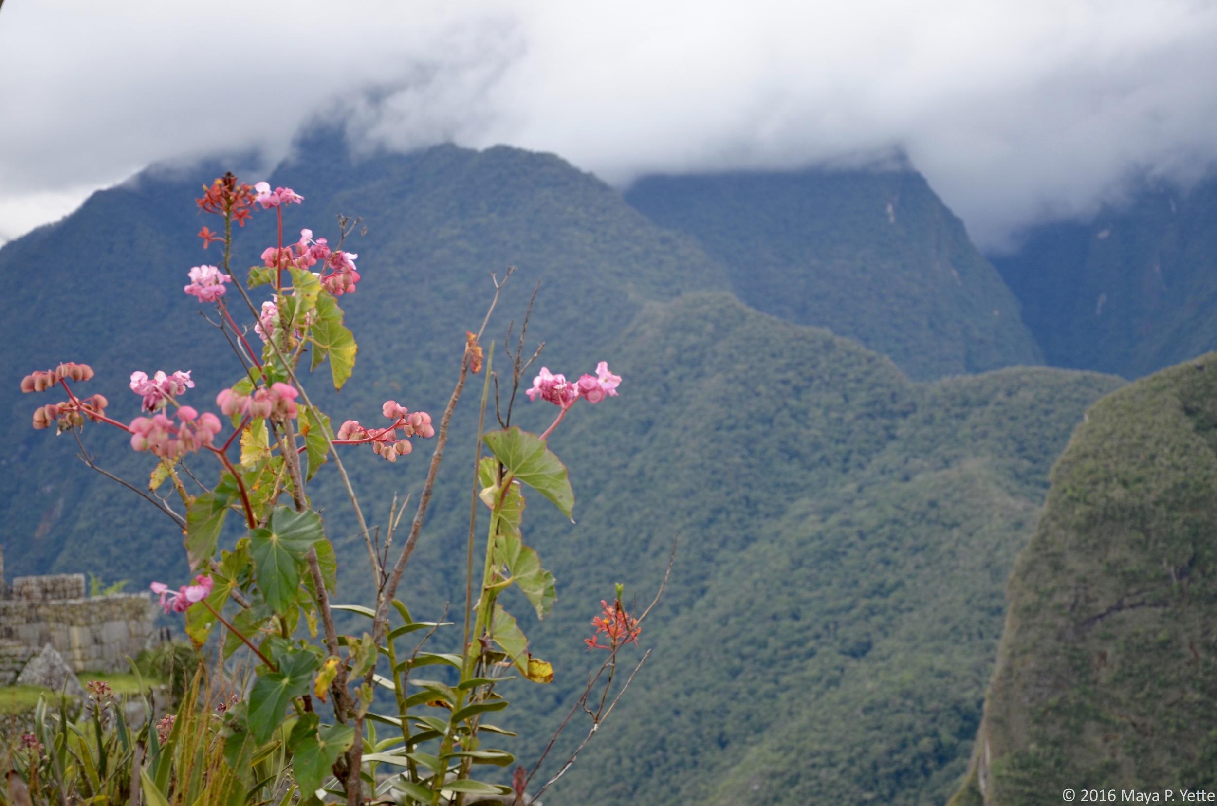
The descent surprisingly took a little longer than the ascent because I frequently had to stop to let people pass on their way up. Many parts of the path are extremely narrow and only one person can pass at a time. In addition to being narrow, the majority of the climb to the top is really steep and up steps that only about half of my foot can fit on. This climb is not for the faint of heart or anybody who’s scared of heights. I kept my head down most of the way, making sure that I did not slip on a wet rock anywhere and fulfill all of my mother’s worst nightmares when I left her sleeping in the hotel to climb Wayna Picchu all by my lonesome. Many of the steep steps required that I use both hands and feet to pull myself up as if I was climbing a ladder. On the descent, there was one point where I had to basically crawl through a cave and was convinced that I had taken a wrong turn somewhere! Although the day was cloudy and never really cleared up, for me the hike up Wayna Picchu was not so much about the view that I got of Machu Picchu (which was fleeting), but about proving to myself that I could do it and experiencing another part of the vast Machu Picchu complex. Mission accomplished.

The Inca Bridge

Although still amazing, walking to the Inca Bridge was my least favorite of the walks I did around Machu Picchu (it was also the easiest). You can’t get very close to the bridge, and I don’t know why I assumed we would be able to walk across it, but obviously that’s off limits too. It took about half an hour to reach the trailhead for the Inca Bridge from the entrance to Machu Picchu, and then another 15 minutes or so before we reached the bridge itself. For the Incas, the bridge served as one of two entry points to the city of Machu Picchu, the other being the Sun Gate. You are able to get great views of Machu Picchu from the trail and seeing Machu Picchu and Wayna Picchu from another vantage point is always incredible.

The Sun Gate

The Sun Gate marks the end of the Inca Trail and, as I mentioned, was one of two entry points that the Incas used to the city of Machu Picchu. The atmosphere was extremely festive when my mom and I showed up shortly after 7 a.m. on Saturday. Groups of hikers were celebrating the end of their 4-day trek and understandably excited to finally reach Machu Picchu. I felt a little like I’d cheated by walking up to the Sun Gate from the entrance to Machu Picchu, which took about an hour. We wandered around briefly and enjoyed the view of Machu Picchu from the Sun Gate, but I didn’t have time to linger because I had an entry ticket to Machu Picchu Mountain for the 7 a.m. to 8 a.m. entry slot.

Machu Picchu Mountain

Like a crazy person, I thought it was a good idea to hike Machu Picchu Mountain immediately after trekking up to the Sun Gate on our last day at Machu Picchu. Maybe it was because I was already a little tired (I don’t think so, though), but Machu Picchu Mountain was definitely harder for me than Wayna Picchu. The trail is longer and takes about an hour and a half to climb instead of 45 minutes. At times, there is nothing but another hiker standing between you and a very steep drop off the side of the mountain; I don’t get vertigo nor am I scared of heights but even this was a bit much for me. Thankfully, the weather was beautiful and when I reached the top of the mountain, the views of Machu Picchu below were crystal clear. I sat for a while and had a snack, pleased with another personal accomplishment and taking in one of my last views of Machu Picchu.

***

Getting to Machu Picchu isn’t cheap, nor is it a short journey, but it is worth it. While the Citadel can be explored in just a few hours (most tours only last for about 2.5 hours), to really give yourself time to appreciate this new wonder of the world, I suggest spending a couple days there. About seventy percent of Machu Picchu is still the original construction. Since being designated a UNESCO World Heritage Site in 1983, the Peruvian government can no longer make any repairs or additions to Machu Picchu, though you will see people around cleaning the stones and trying to preserve them as best they can. Because of this, the sooner you get yourself to Machu Picchu (if you haven’t already) the better! 
The Spectacular Southwest...of Bolivia! by Maya Yette

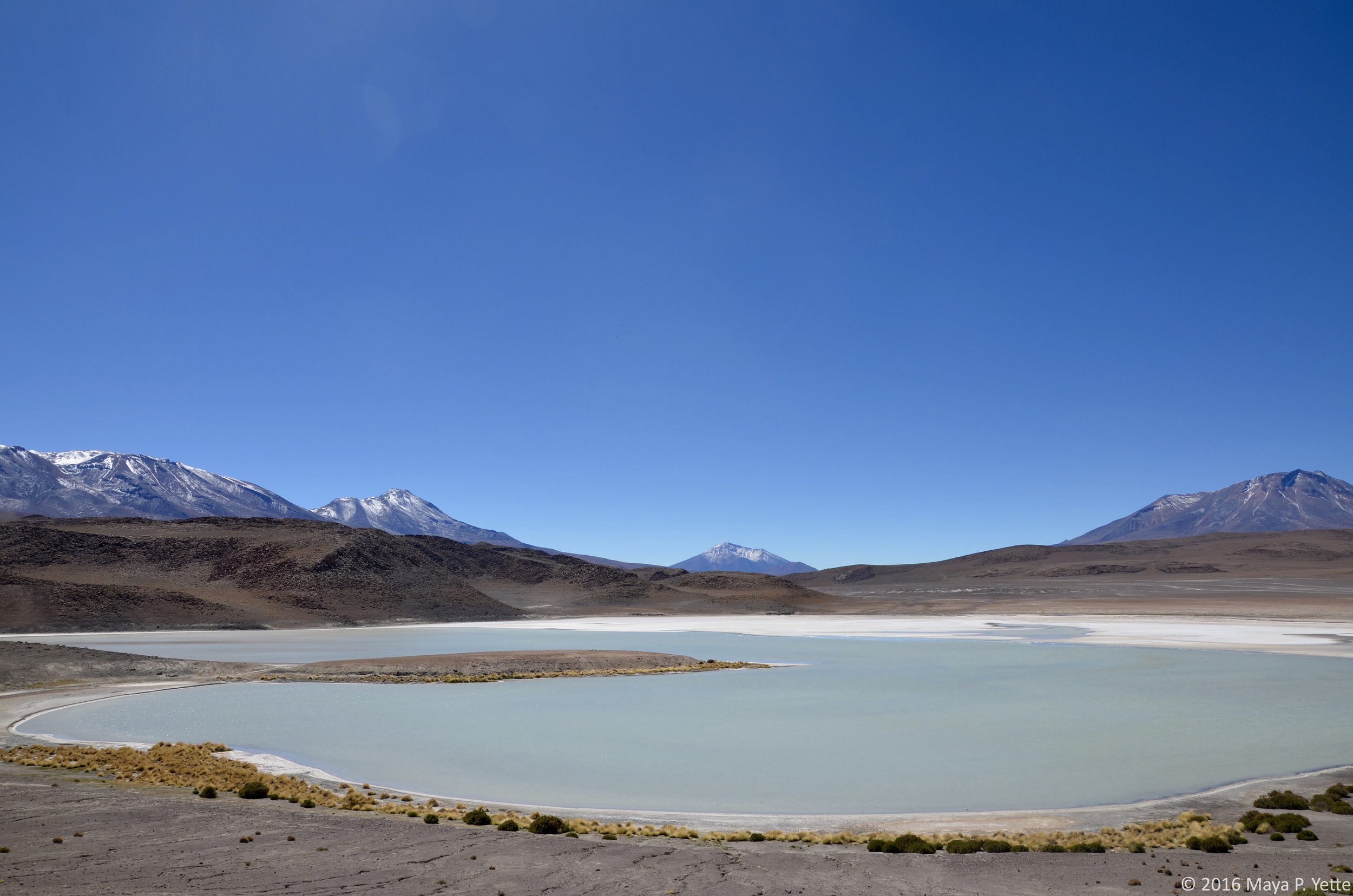
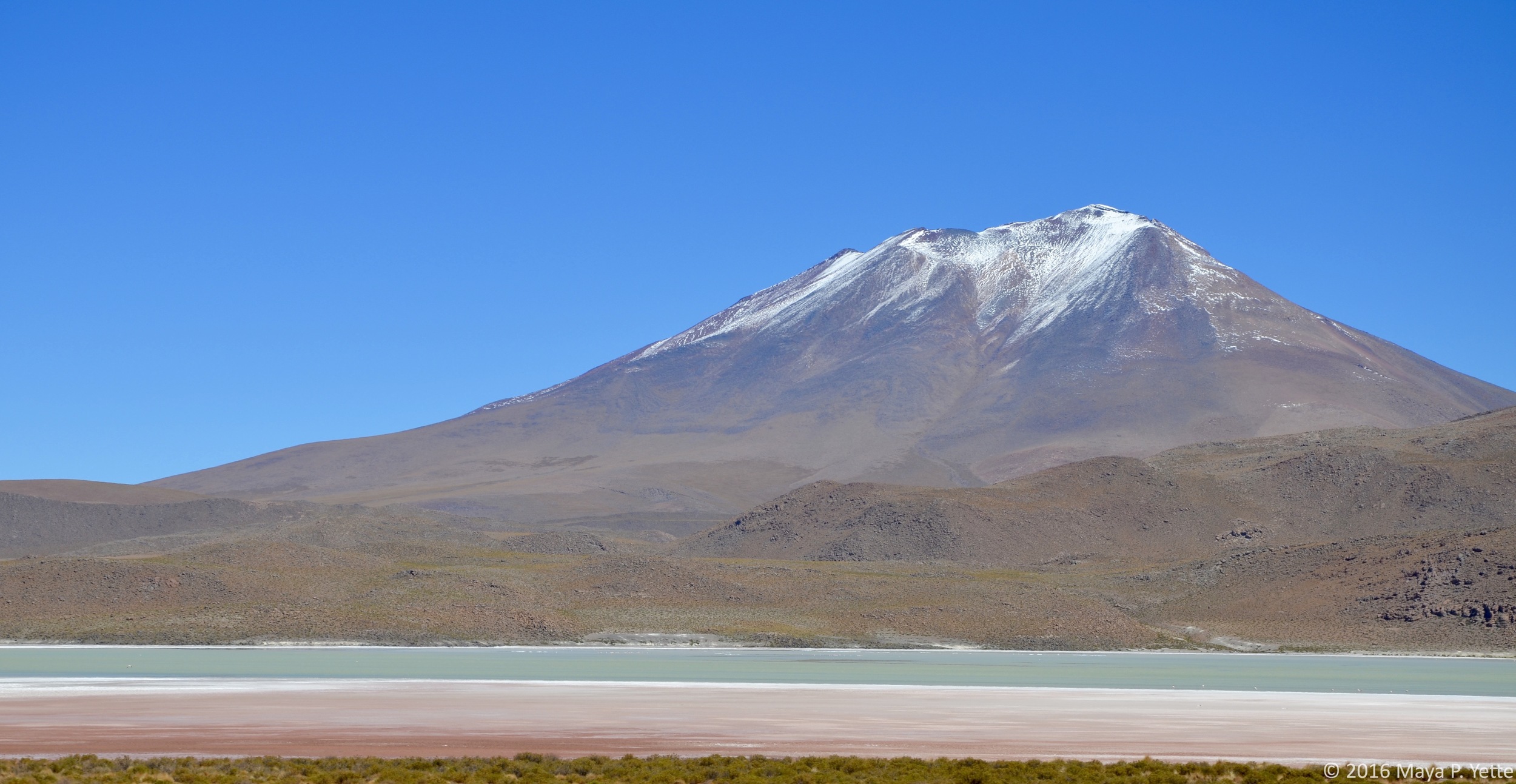
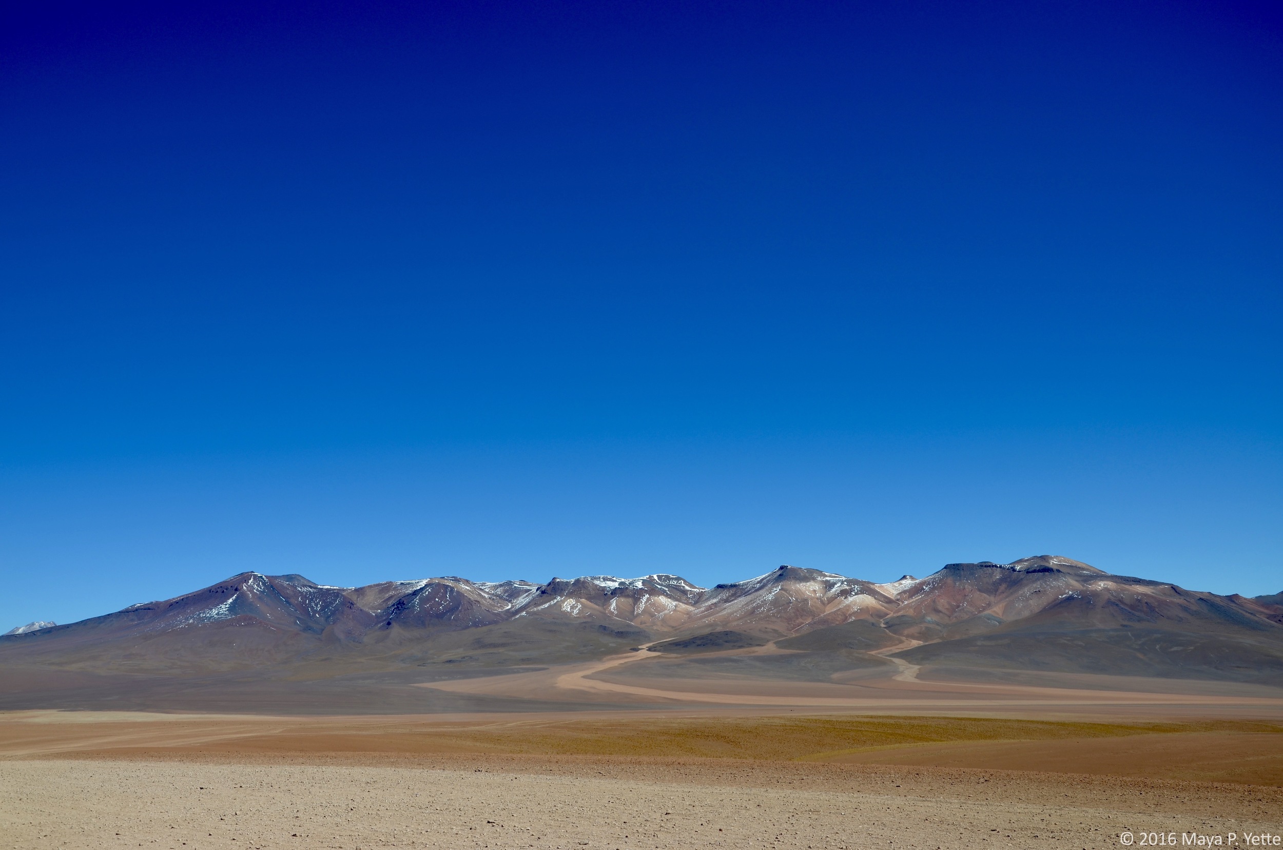
One of the few facts I knew about Bolivia before visiting, besides the fact that it sits at an insanely high altitude, is that it is home to the largest salt flats in the world, Salar de Uyuni, which are about 4,000 square miles. A visit to the salt flats was one of the few side trips I knew I had to take this year and it did not disappoint.

Unbeknownst to me was the fact that the southwest region of Bolivia where the salt flats are located, Potosi, is also home to a wide array of other, equally stunning landscapes. In order to see them all, a group of us signed up for a three day, two night tour that took us to some of the furthest reaches of Bolivia.  

To get to the city of Uyuni, the jumping off point for the salt flats, we took a 10-hour overnight bus from La Paz (not as bad as it sounds, I promise). Upon arrival in Uyuni, we had breakfast and then met our tour guide, Nadia, and split into three jeeps that would be our refuge over the next few days. Our first stop right outside of Uyuni was a “train graveyard” where trains that were used to transport minerals across British-engineered rail lines to the Pacific during the late 19th and early 20th centuries now sit abandoned.

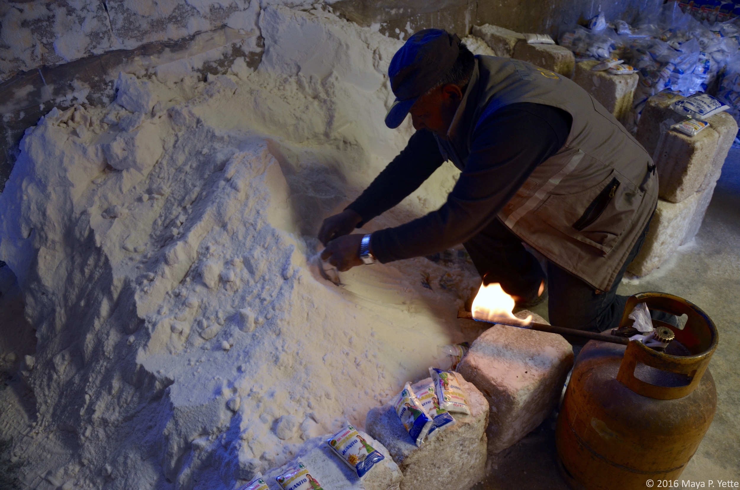
After climbing through and on top of old, rusted out trains that would certainly not be open as a tourist attraction in the United States, we made our way towards the salt flats. Before we could see this natural wonder, we stopped in the town of Colchani to see a salt processing plant, where people bring the salt they harvest from the flats and process it to sell.

As we left Colchani behind and entered the salt flats, our driver, Freddy, picked up speed and soon all we could see was the flat white expanse spreading out around us. We made a few different stops on the salt flats to observe the different areas. First, on the part of the salt flats closest to Colchani, there are a number of small pyramids of salt that people create to let the water run back into the ground and dry the salt out.

A little deeper into the flats there was an area that was covered in about 2 centimeters of water, which created a slight mirror effect. We stopped here to walk around and have lunch: llama steak and quinoa, staples of the Bolivian diet.

After lunch, we drove to see the first salt hotel (the bricks of the building are made of salt), which has since been closed because of the destruction it began to cause to the surrounding environment.

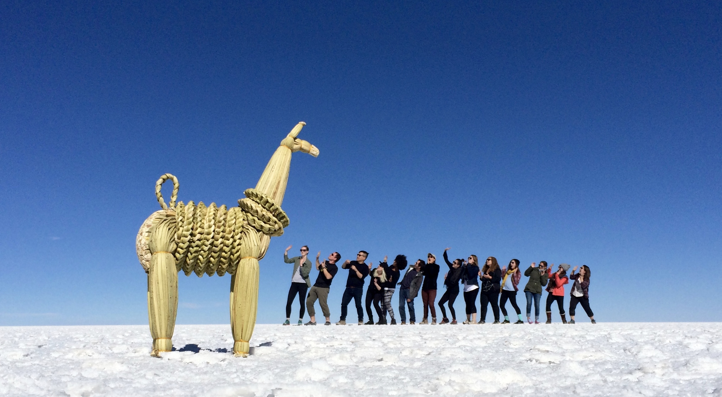
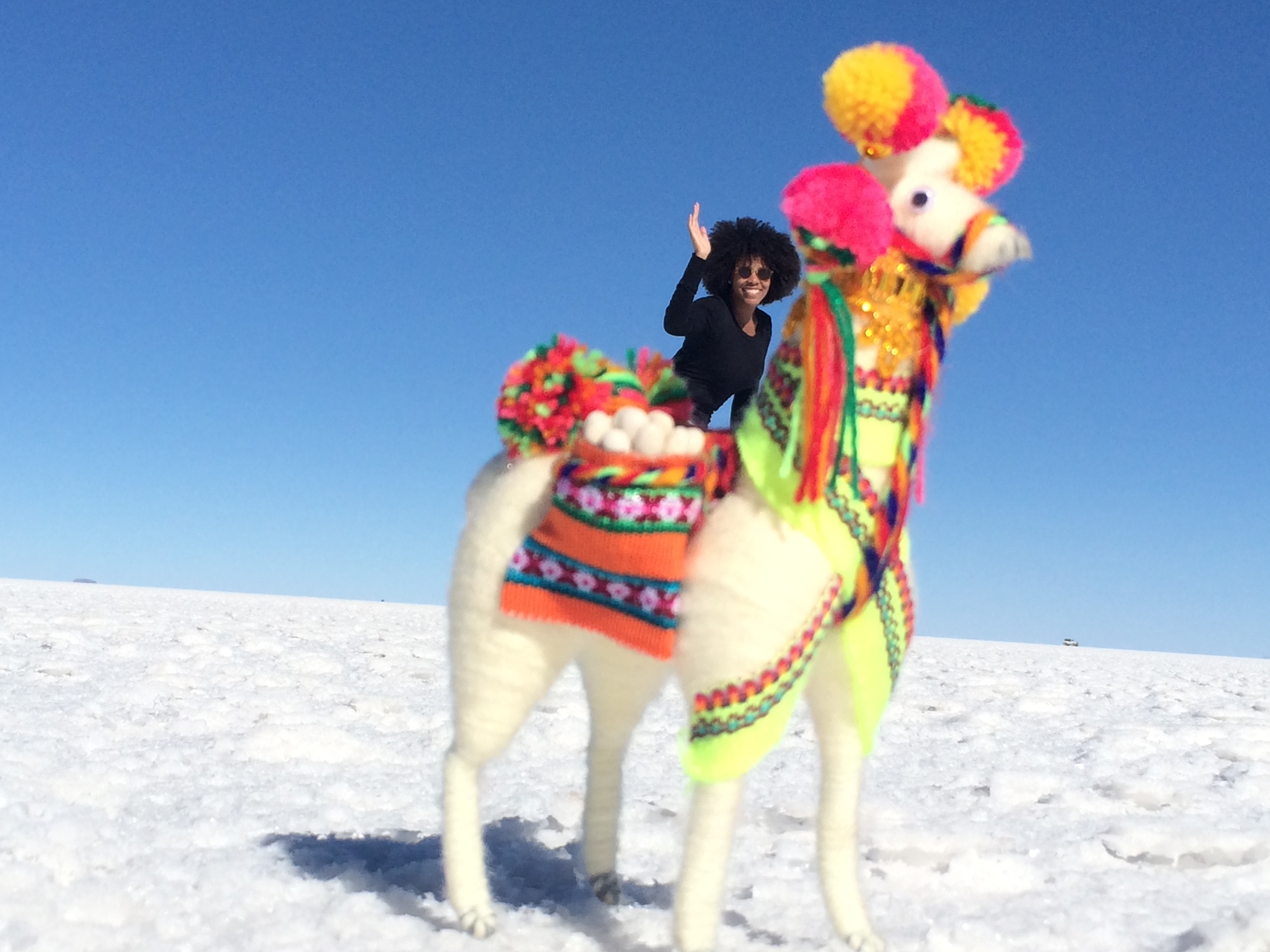
After driving even deeper into the salt flats, we stopped in a seemingly never ending expanse of white to take the silly, perspective bending photos that the salt flats are known for -- llama props were a crowd favorite.

My favorite part of the day, however, was arriving at Isla Incahuasi, an “island” in the middle of the salt flats that’s covered in cacti. The contrast was unexpected and beautiful -- from the top of the island you can really imagine that the salt flats were once a lake.

As we drove out of the salt flats, we stopped to take in the sunset before heading to our hostel. 

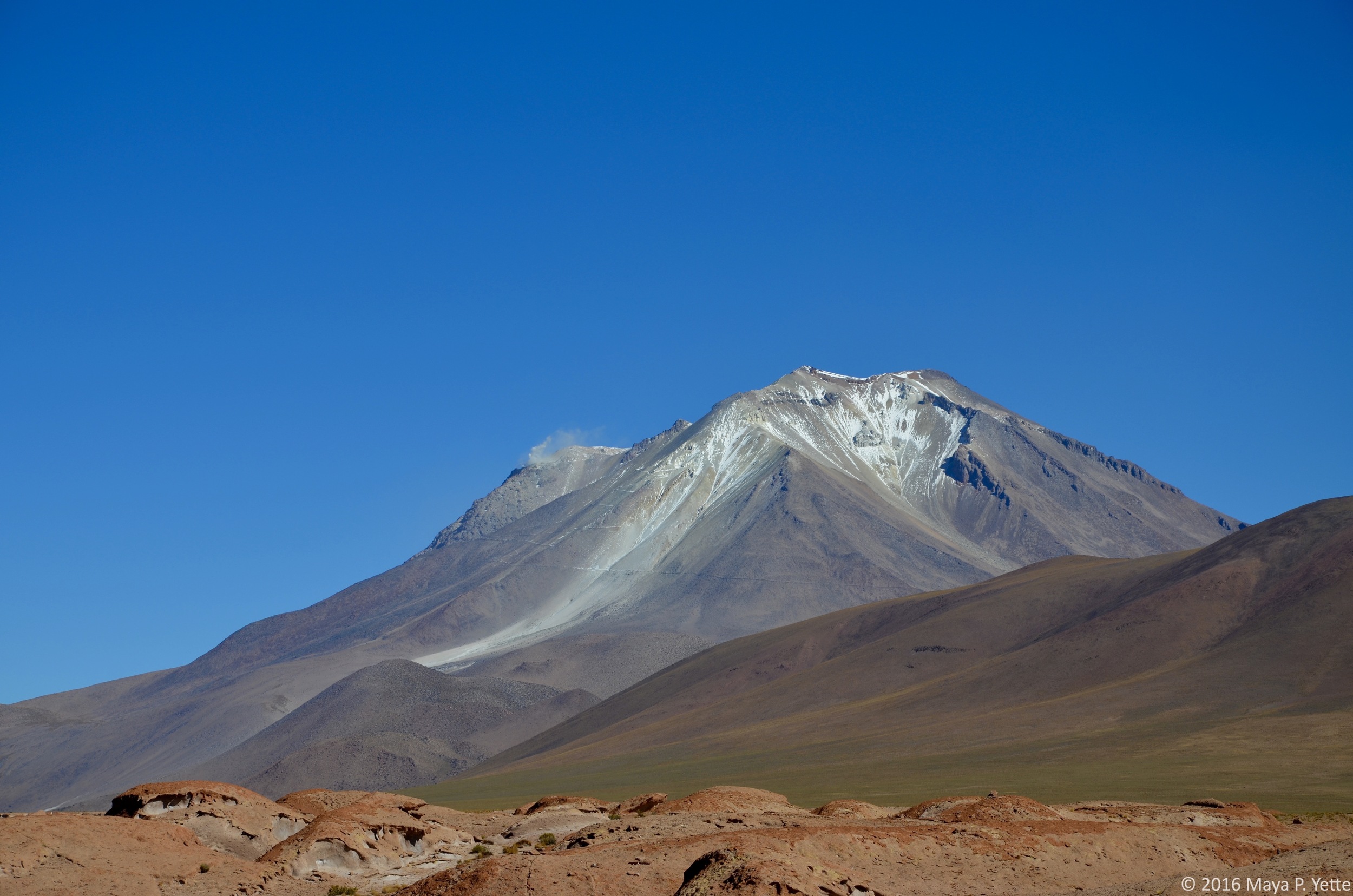
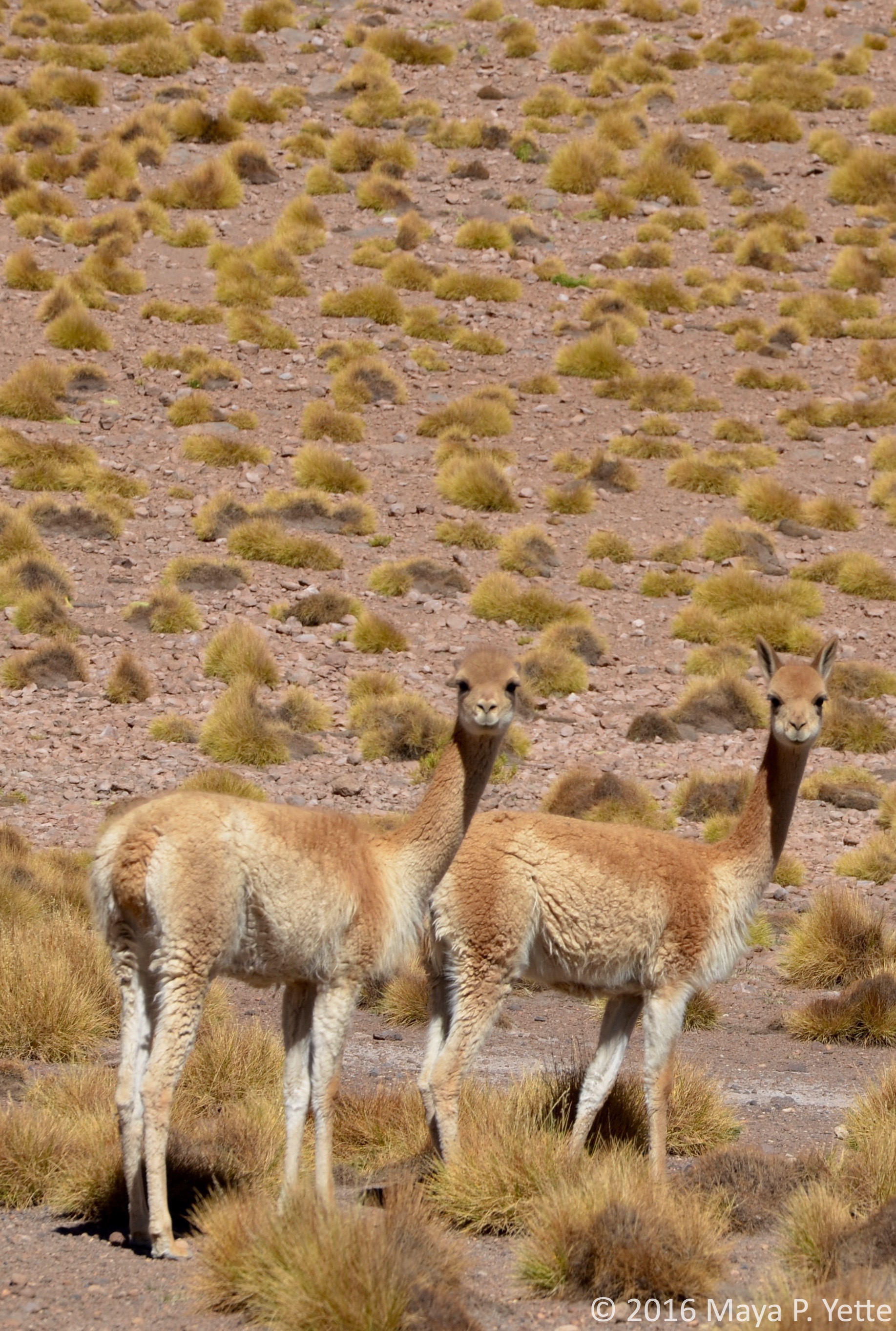
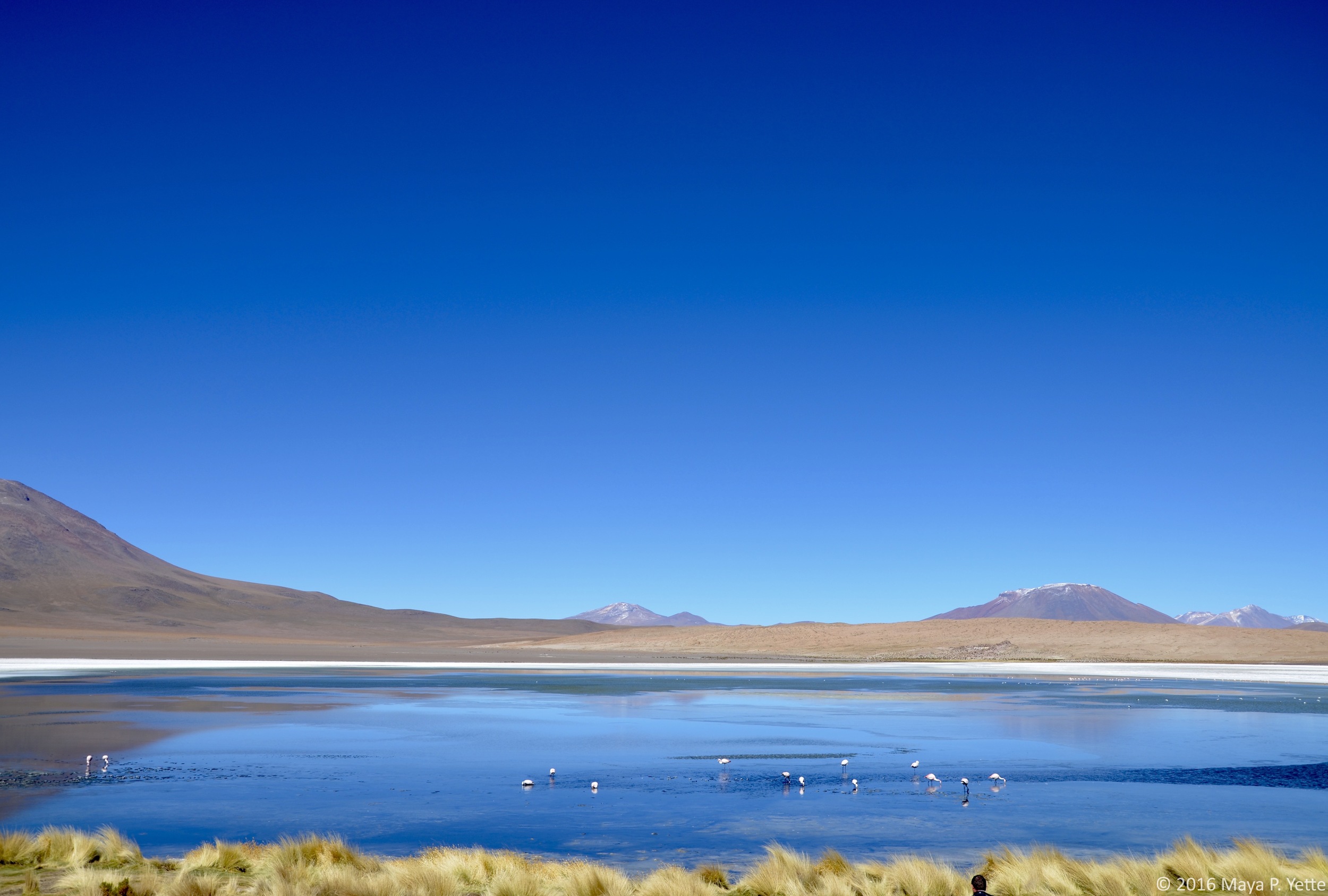
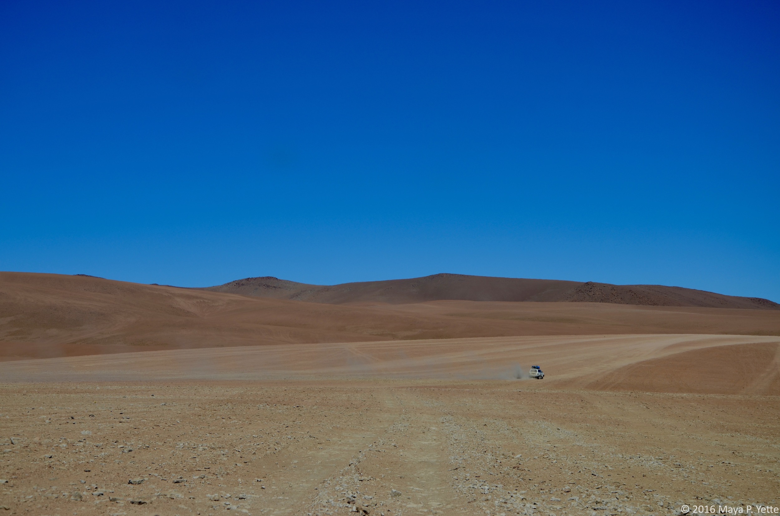
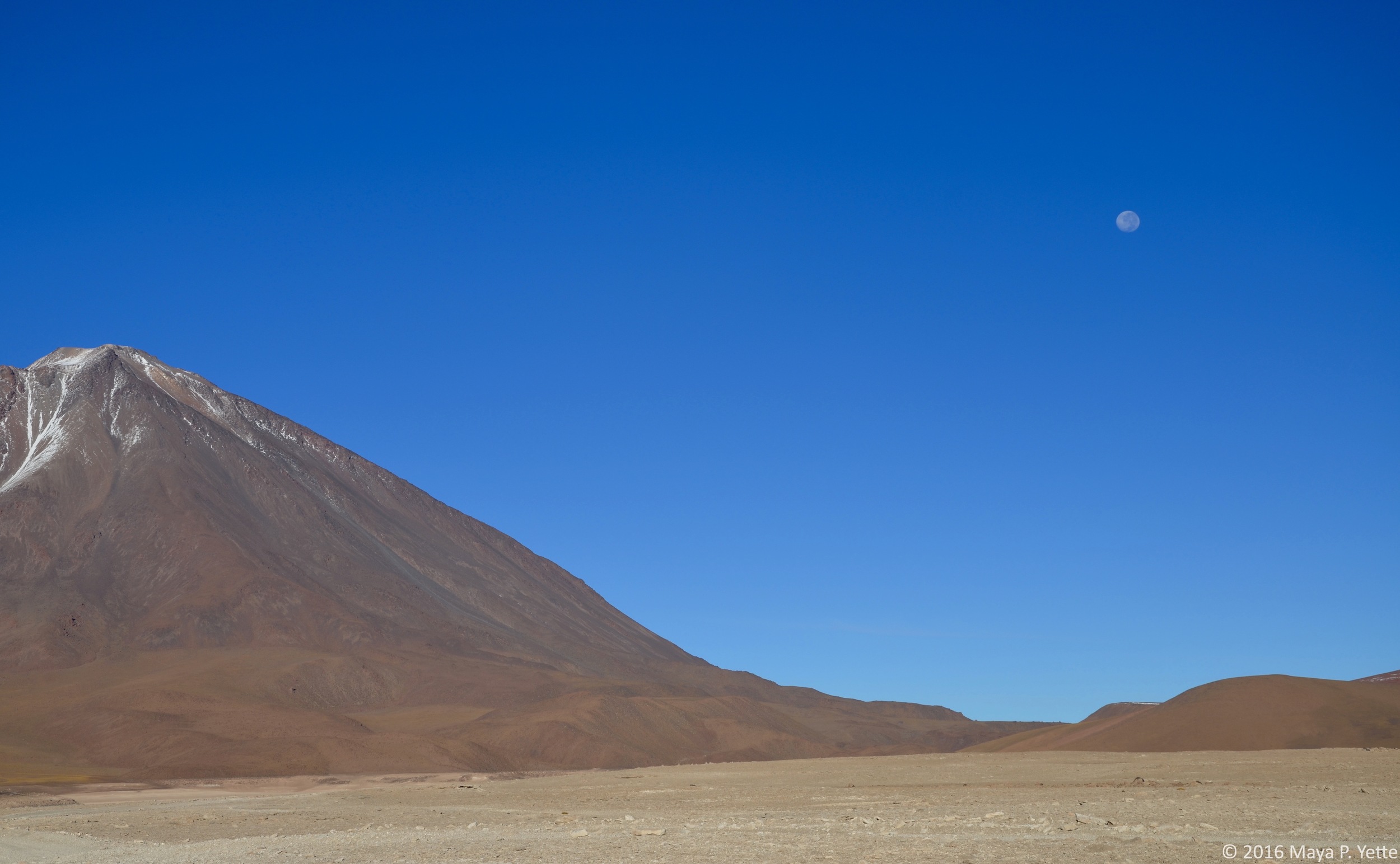
On our second day in the southwest region, with the salt flats behind us, we set out to see what else Bolivia had to offer. From pink lakes with flamingos to volcanoes everywhere we looked and more, it did not disappoint. For large parts of the day as we drove through vast expanses where it seemed like the only inhabitants were a few llamas or vicuñas, I felt like we must be on Mars, or at least what I imagine Mars to look like, with red, rocky land spreading out all around us. 

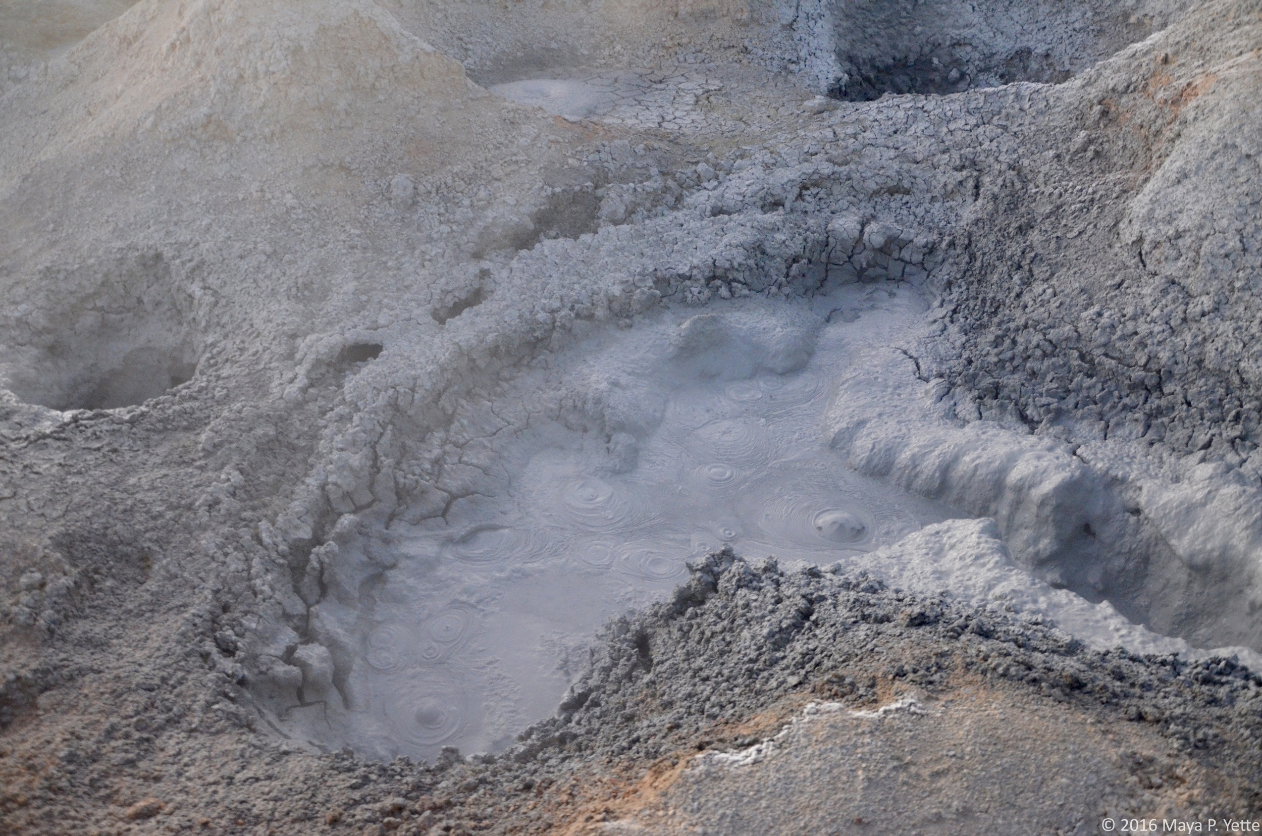
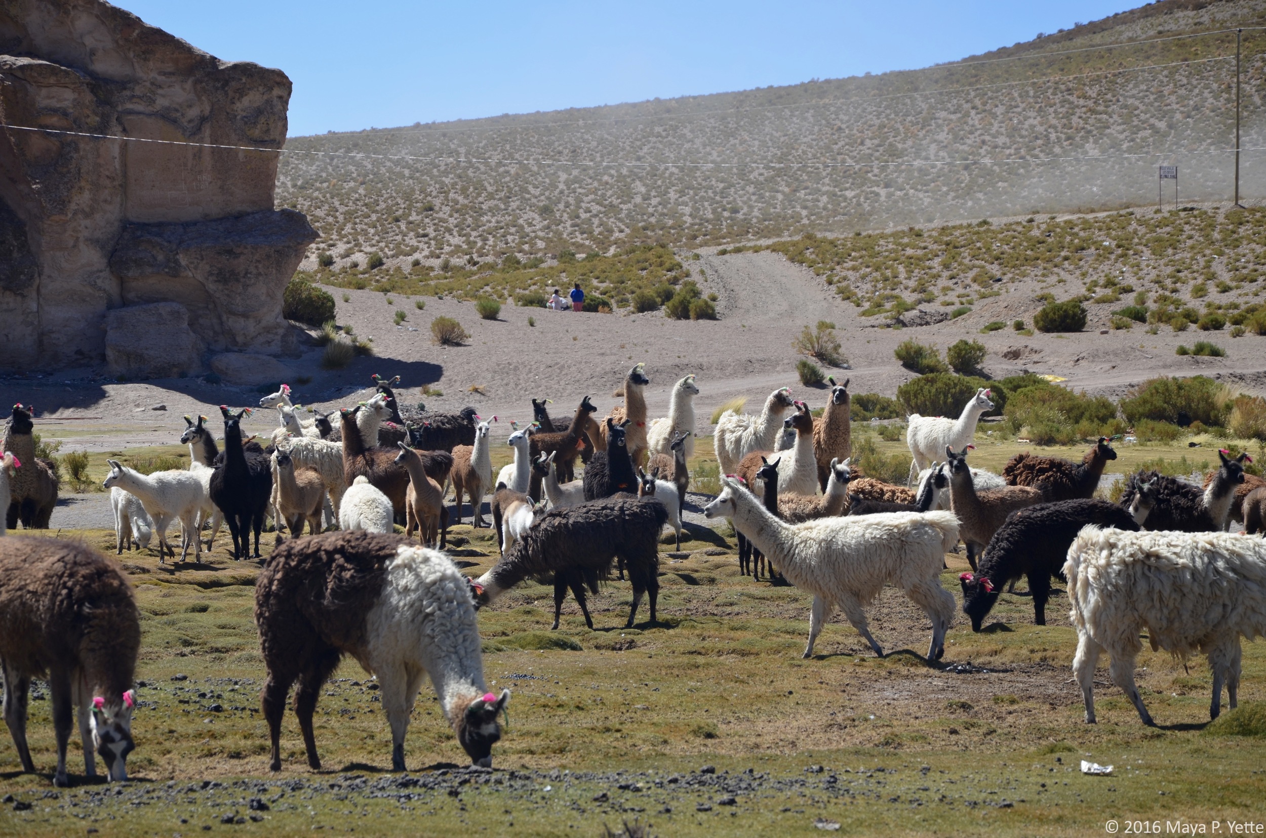
On our final day of the tour, we set out before sunrise to drive up into the mountains 5,000 meters above sea level. We saw geysers of smoke and bubbling sulfur all before the sun reached its peak in the sky. Because of the altitude it was also colder than any of us were prepared for and we quickly retreated to the relative warmth and comfort of Freddy’s jeep. After driving to view another lake and volcano combo, we drove to what is known as the Desierto de Dali (Dali’s Desert), for its similarities to one of the deserts in Dali’s famous painting (he is not known to have ever visited Bolivia, making the similarity all the more striking). Despite the frigid temperatures, some of us also braved the cold to enjoy some time in a natural hot springs. After drying off, we stopped in a little town called Mallku Villa Mar for lunch and walked among a field full of llamas before beginning the drive back to Uyuni. From there, I and a few others opted to catch a one hour flight back to La Paz instead of taking another overnight bus – so worth it!

Life on the Lake by Maya Yette

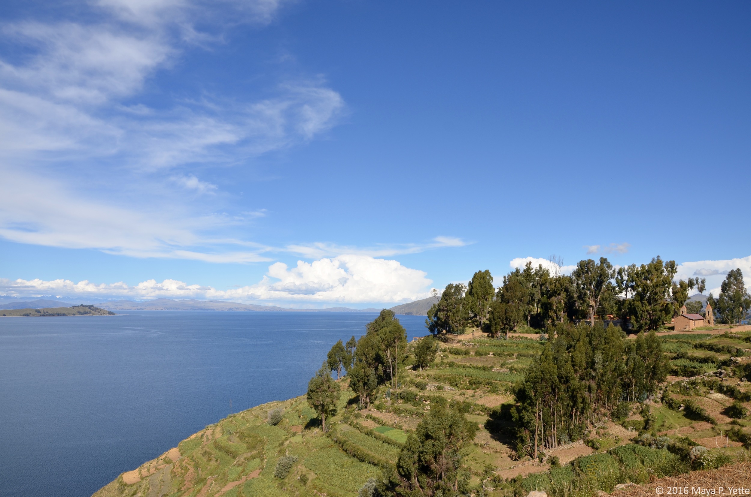
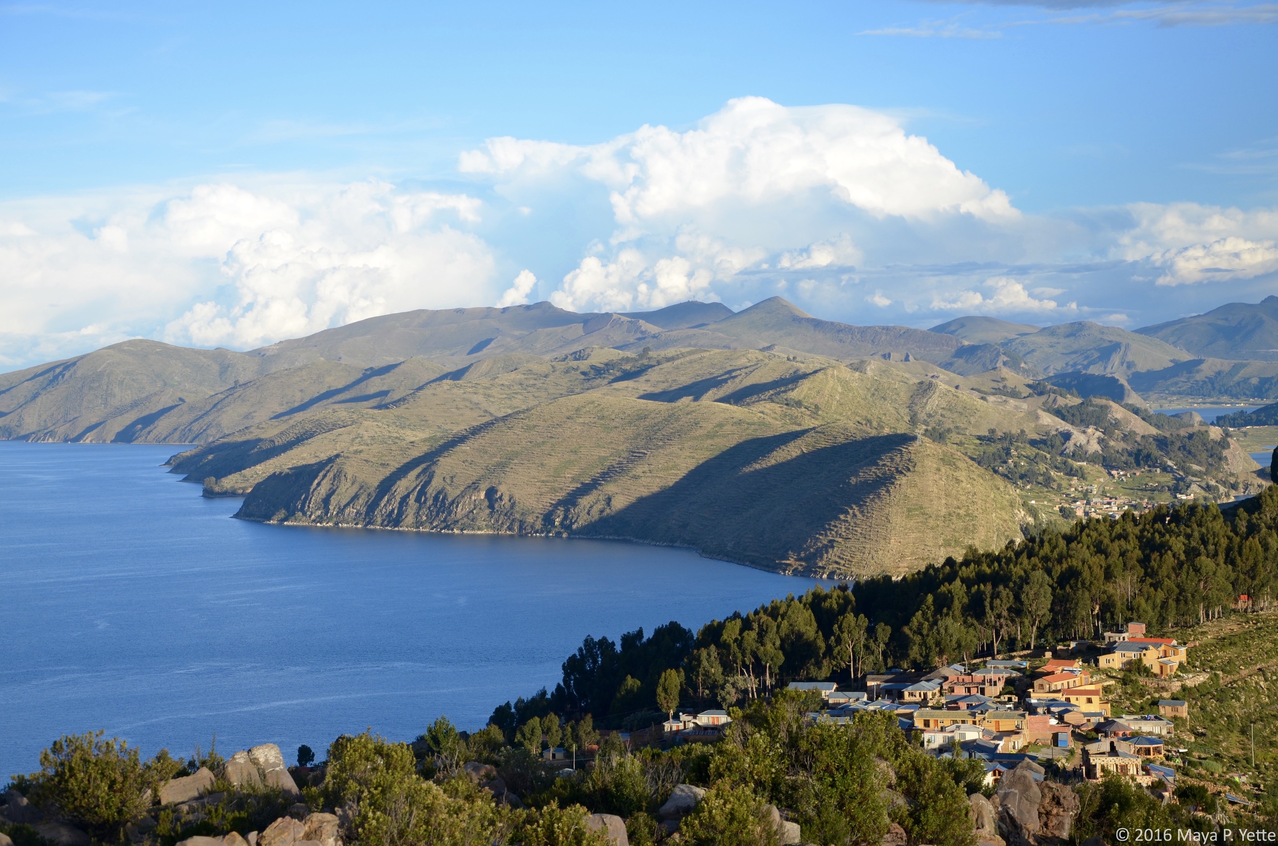
One Saturday morning I woke up early and headed to Copacabana, Bolivia with a few of my friends. Copacabana sits on the edge of Lake Titicaca, which is both the largest lake in South America and the highest navigable body of water in the world. The lake stretches between Bolivia on the east and Peru on the west. From La Paz, getting to Copacabana is an easy but cramped five-hour bus ride. When we arrived, we grabbed lunch in town, which was covered in what looked like snow (we later learned it had hailed that morning) and then caught a ferry that brought us to Isla del Sol (Island of the Sun) after an hour and a half crossing the lake.

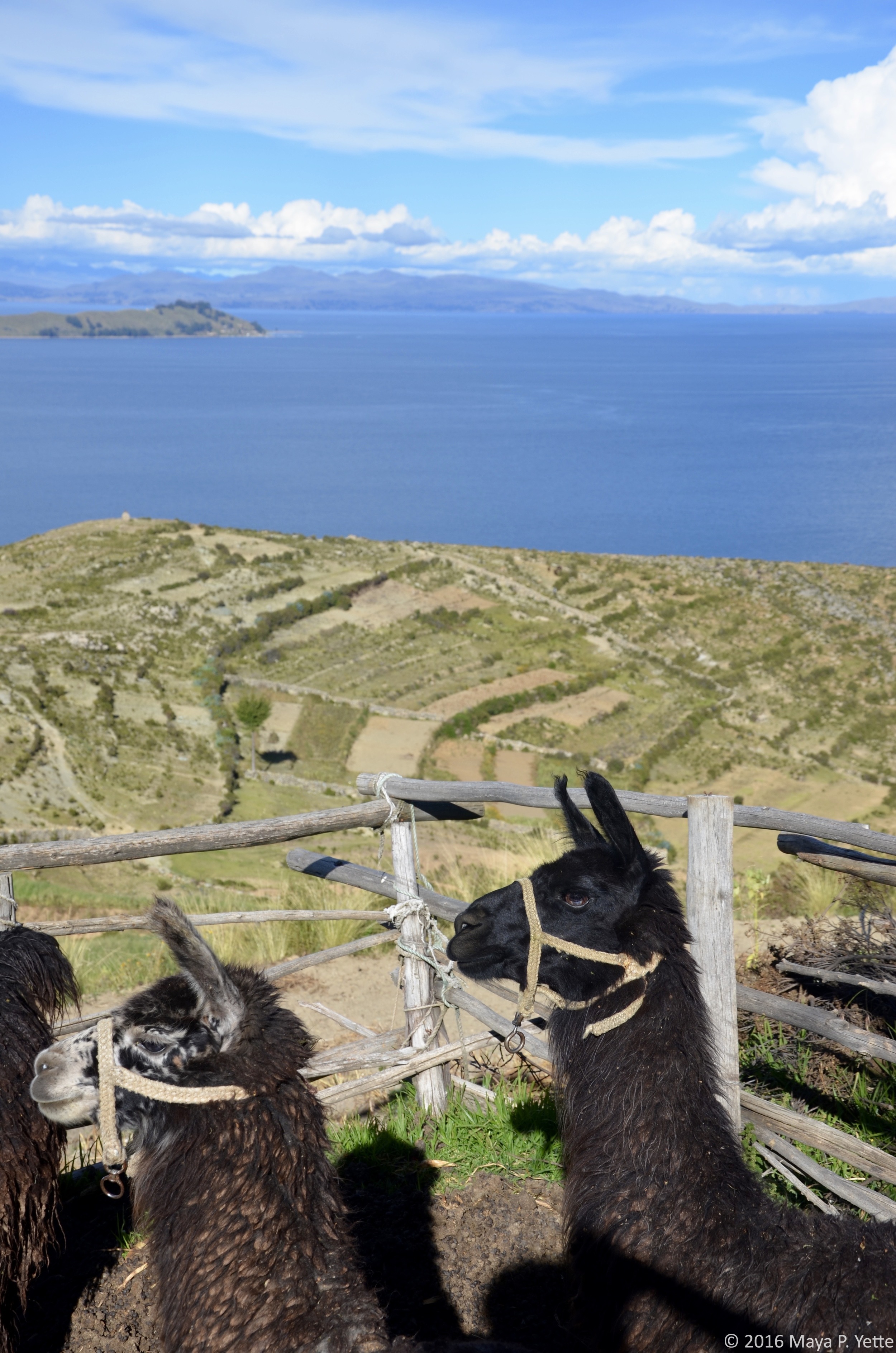
Isla del Sol, home to about 800 families, sits on the Bolivian side of the lake and is believed by the Incas to be the birthplace of the sun. As we arrived at the dock on the southern side of the island, we were greeted by numerous cholitas and all of the donkeys that are used to carry goods across the island. There are no cars or paved roads on Isla del Sol, a fact that I didn’t fully appreciate until we were actually there. Isla del Sol is around 4,100 meters at its highest point, about the same as La Paz, but the air felt thinner there and I was winded more than normal walking up and down the hills that crisscross the island.

After we dropped our bags off at our hostel, we set out to explore. We hoped to reach one of the 80 Inca ruins on the island and hike up to the mirador, at the highest point on the island, where we would have a view of the island and the lake below. Isla del Sol is beautiful and at every turn you run into one of the many donkeys, llama or sheep that call the island home.

We walked and admired the view, stopping to take pictures along the way. Eventually, we realized that the Inca ruins we were in search of were back towards our hostel, in the opposite direction of the mirador. Knowing that we planned to see the more famous Inca ruins the next day, we scrapped those plans and stopped for a bottle of wine on a patio overlooking the lake. Sufficiently rested, we continued up to the mirador and were rewarded with beautiful vistas of Isla del Sol and Lake Titicaca.

On our way back down the mountain, we ran into some fellow Remotes who we did not know were also on Isla del Sol for the weekend. We ended up having dinner with them and then trekking back to our side of the island in the cold, dark and rain, with only our iPhone flashlights to guide us (and wondering the entire way whether we were stepping on mud or donkey droppings).

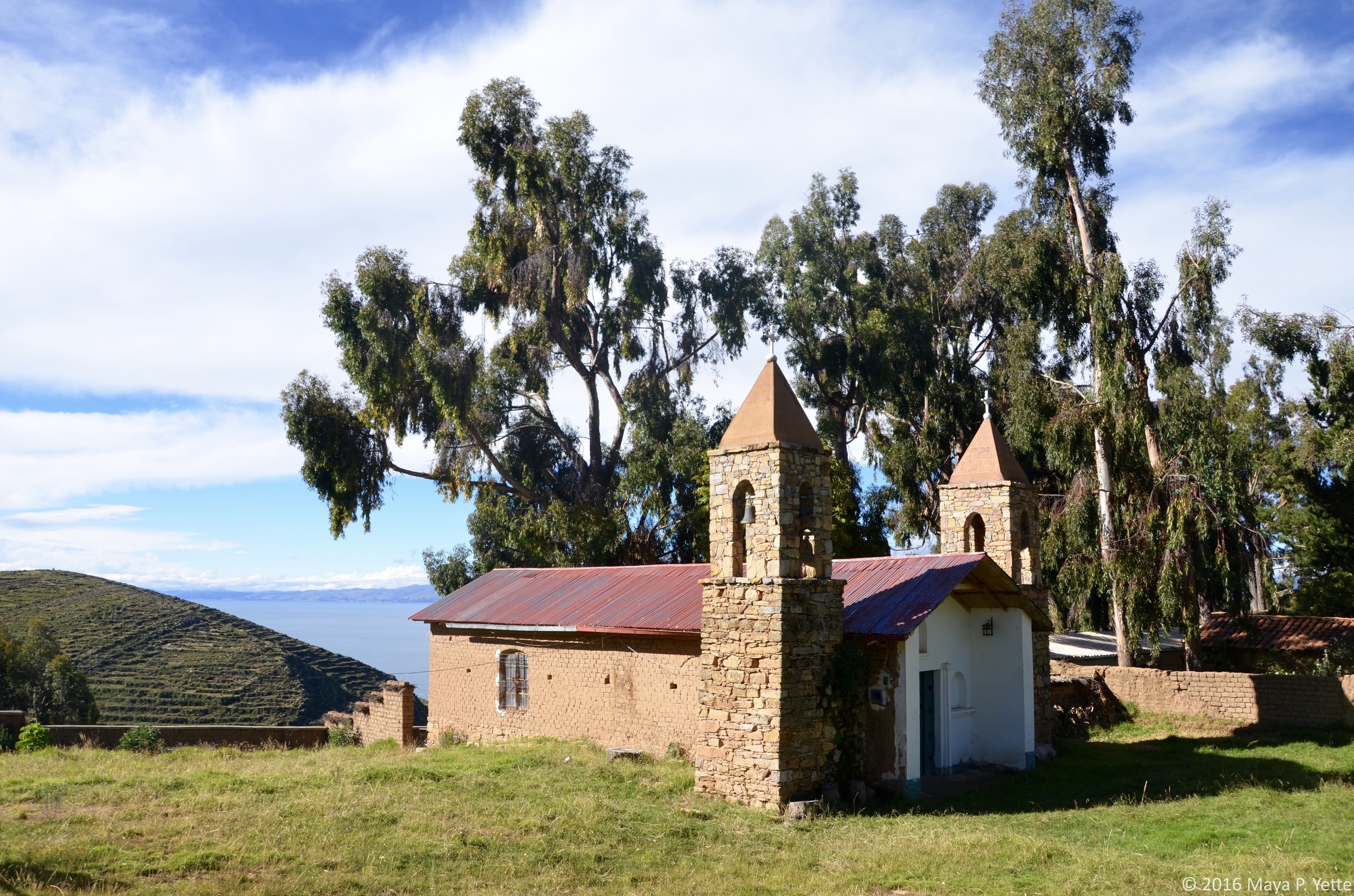
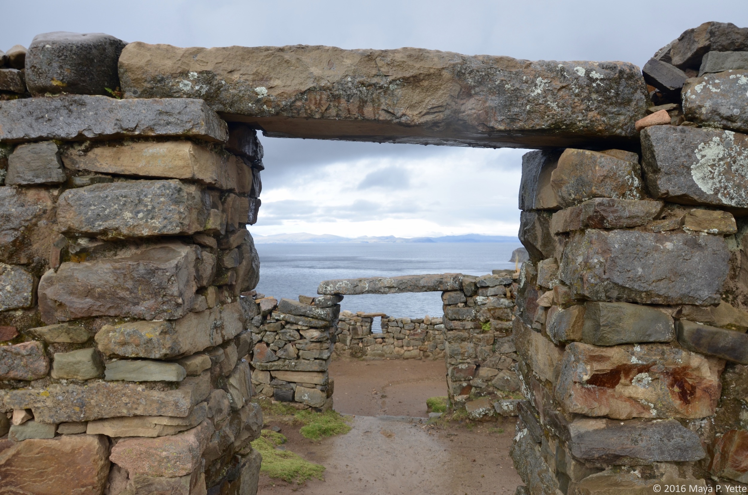
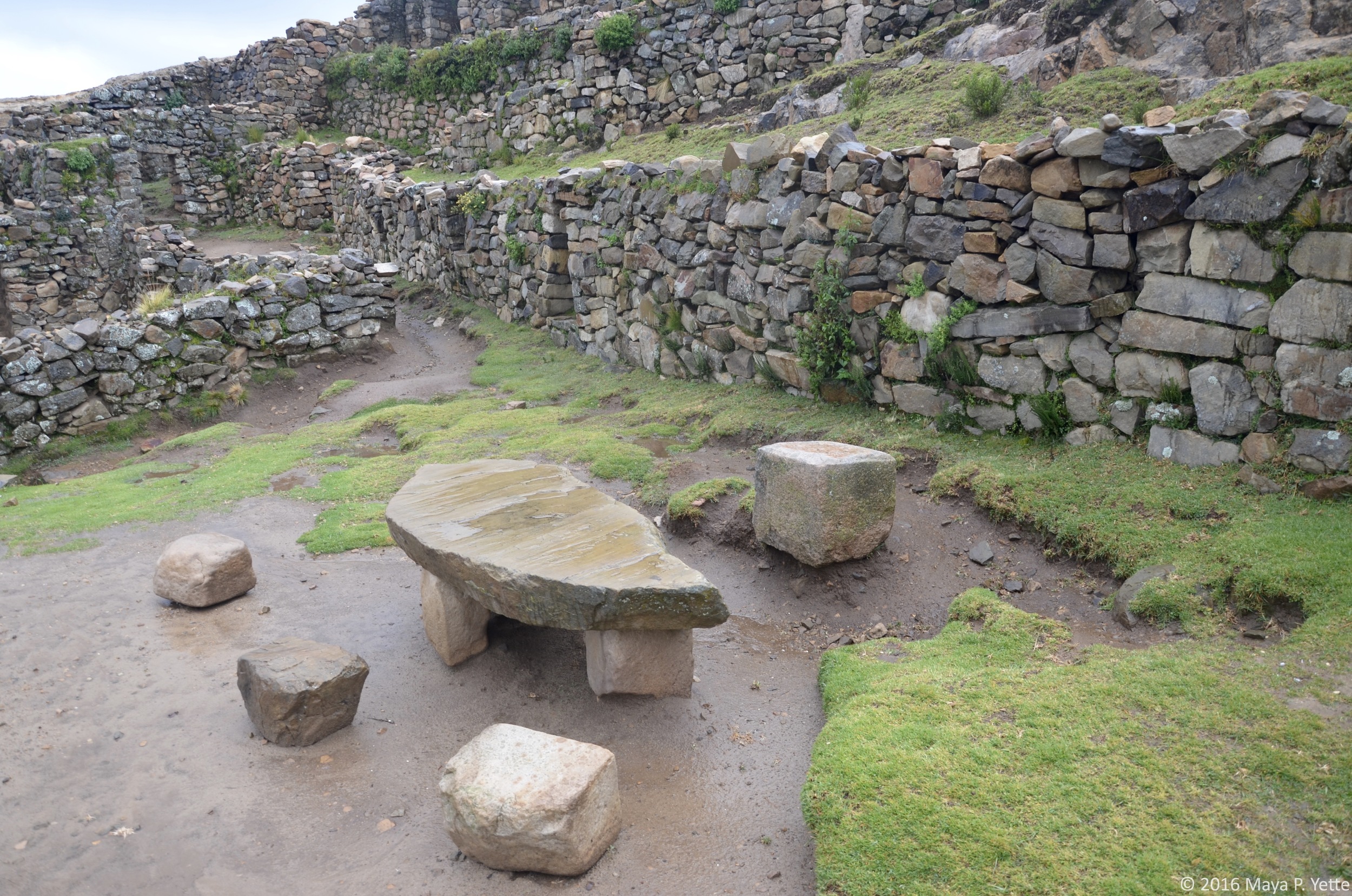
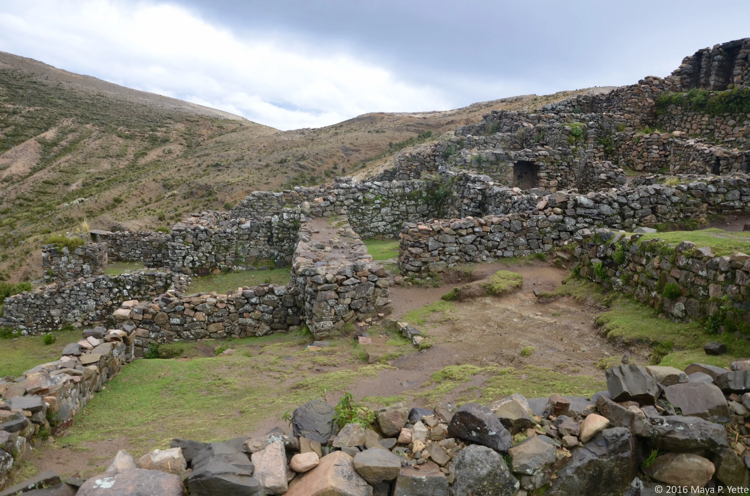
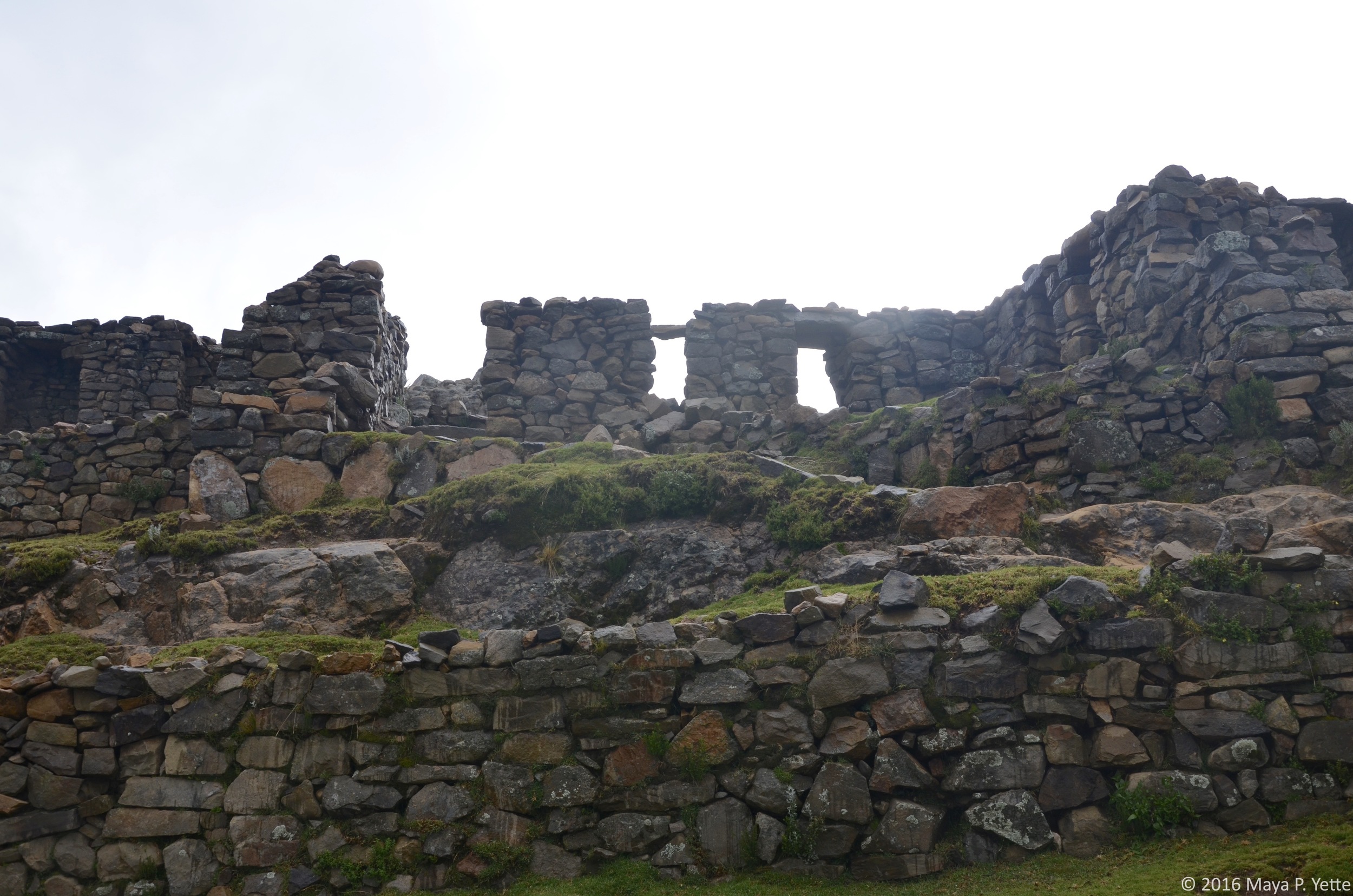
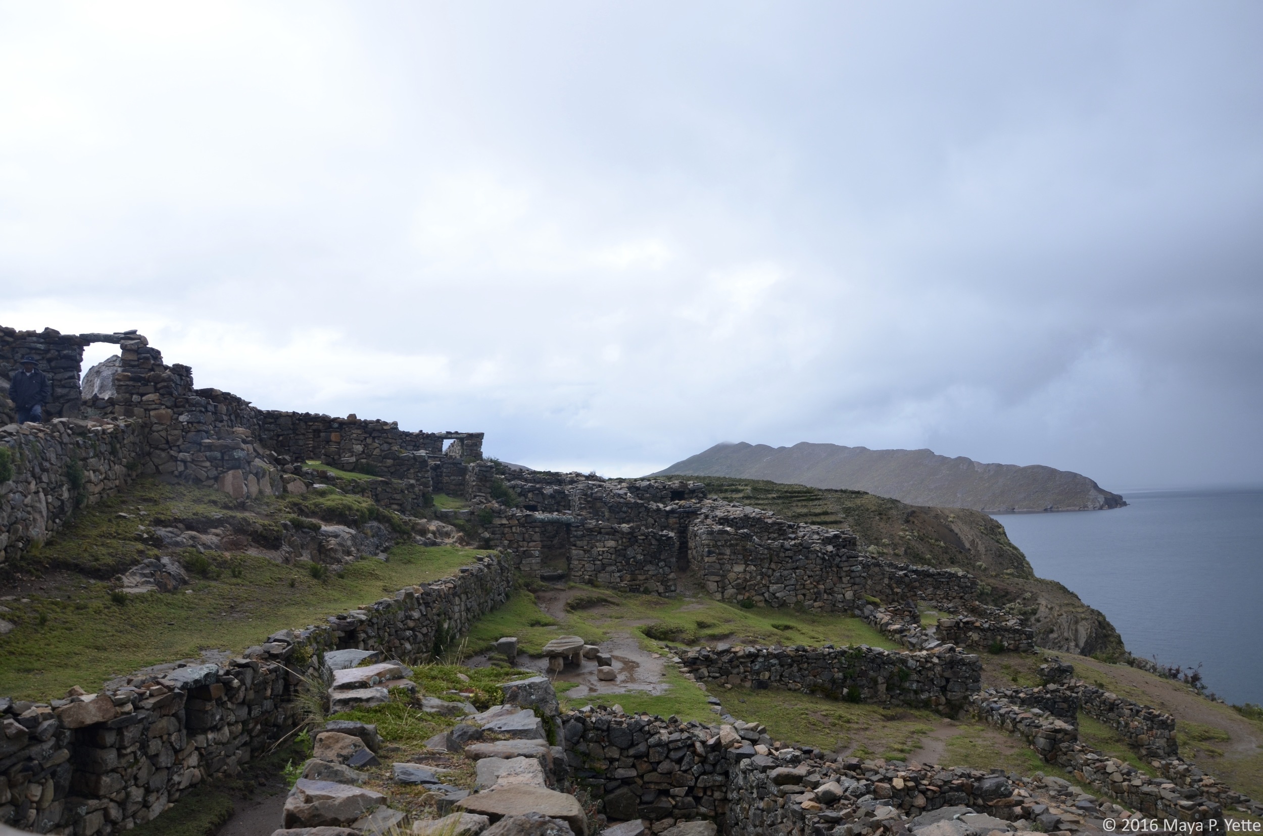
The rain did not abate overnight and on Sunday morning we woke up to a torrential downpour. We had to catch an 11:30 a.m. ferry back to Copacabana to get the bus to La Paz so we did not have time to wait the storm out. We hired a ferry to take us to the northern side of the island where there are pretty extensive Inca ruins. The Palacio del Inca is a huge complex of stone walls and doorways overlooking the lake, also known as El Laberinto (the Labyrinth). As we reached the top of the mountain where the ruins are situated, the rain slowed to a drizzle and we were able to enjoy our last morning on Isla del Sol, walking through the ruins, ducking through doorways and envisioning what life must have been like for the Incas on Lake Titicaca.

Lots to Love about La Paz by Maya Yette

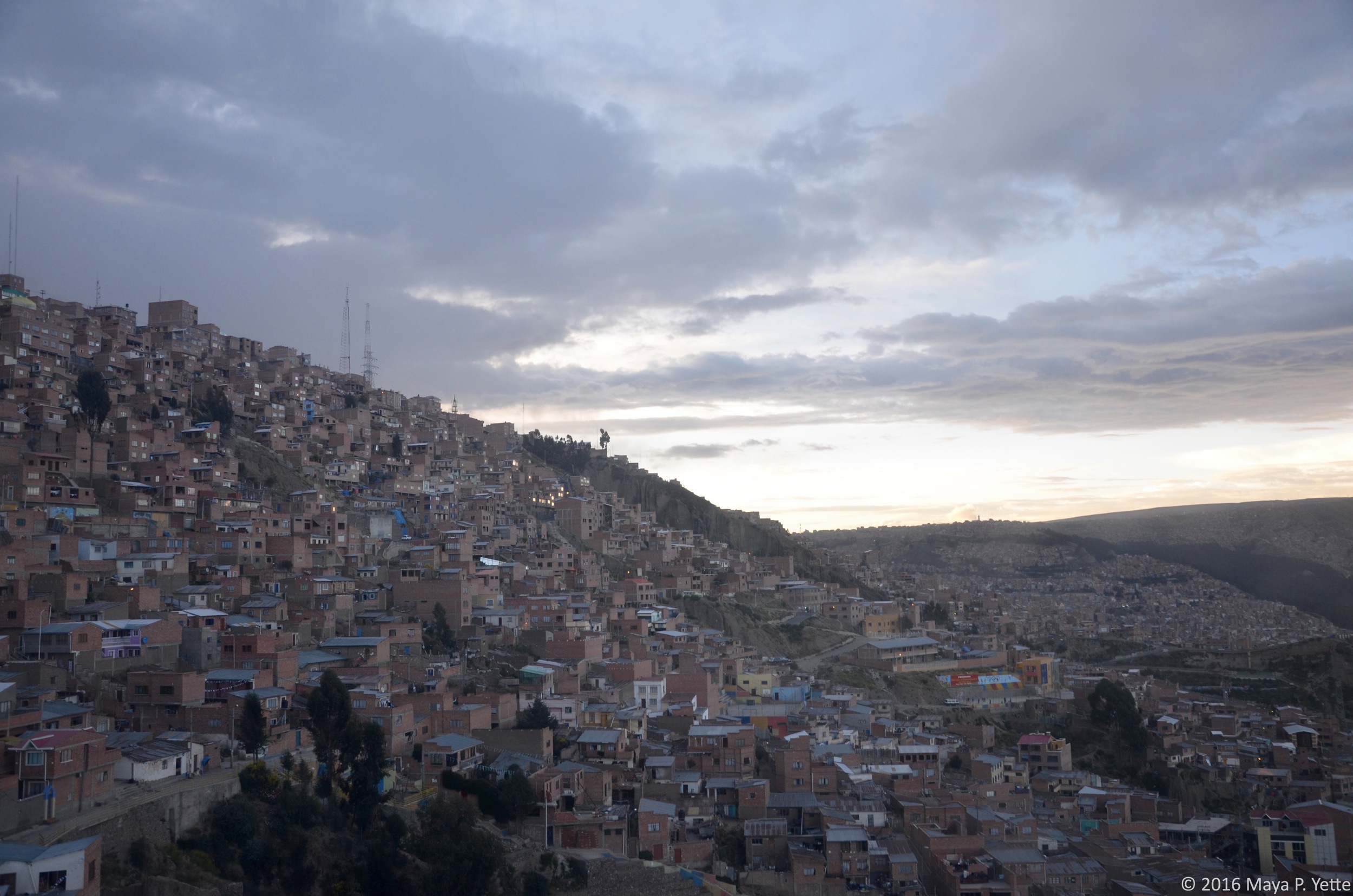
I’ve been in La Paz, Bolivia for two weeks now and although I've been lucky and didn’t suffer the worst effects of altitude sickness (I’ve been told it feels like a really, really bad hangover complete with nausea and headache), I still find myself short of breath when walking up a flight of stairs or one of the many hilly streets throughout the city. La Paz is anywhere between about 10,000 feet to 13,000 feet above sea level depending on where you are in the city, enough to make it the highest de facto capital city in the world – de facto because Sucre is the true capital but La Paz actually houses more government departments.

Despite the minor inconveniences of not being able to catch my breath due to the altitude and pollution, the fact that the altitude makes me constantly sleepy, and the fact that I only remember about half the time that we’re not supposed to flush toilet paper here (seriously!), I’ve found myself enjoying La Paz more than I did Montevideo or Buenos Aires. So have many other people in Remote Year, notwithstanding the broken bones, salmonella and general illnesses that have plagued our group this month. Perhaps it’s because I had little to no expectations upon arriving in La Paz late on a Sunday night a couple weeks ago or perhaps it’s because Bolivia is the first country we’ve been to on Remote Year that really feels different. Around 60% of the population is indigenous (in Montevideo, all of the indigenous people were killed off and Buenos Aires’ population looks largely European as well). In Bolivia, there are “cholitas” (not to be confused with “cholas”, which the cholitas view as a derogatory term) everywhere, walking around proudly in their colorful flowing skirts and top hats, long braids flowing down their backs. The traffic in La Paz is terrible and car horns serve as a constant soundtrack when walking around the city. La Paz has a population of roughly 1.8 million people but feels infinitely more crowded and busy than the other South American cities I’ve lived in for the past two months.

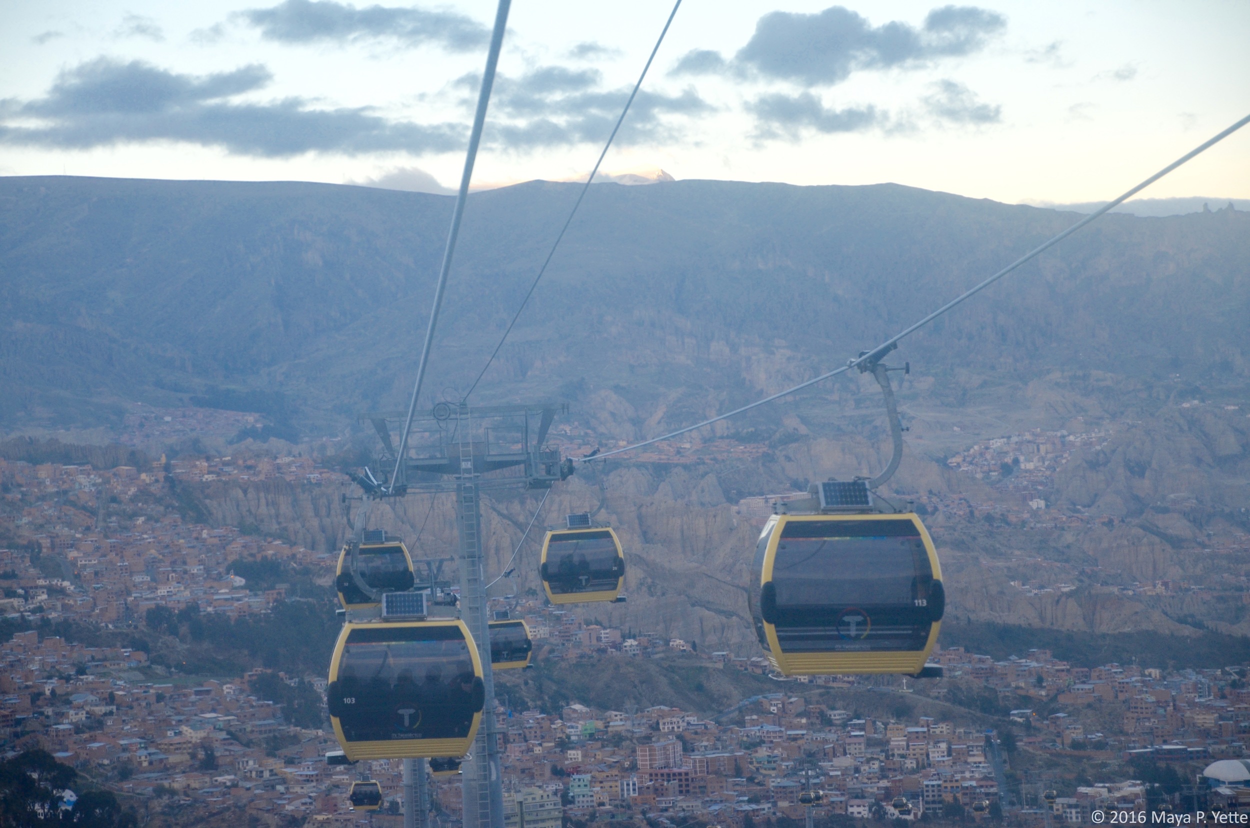
There is no shortage of things to do in La Paz and the surrounding Bolivian countryside and we’ve all quickly come to rue the fact that we only have one month in this amazing country. My first week in La Paz was also my first week on a new job, so I’ve had to make the most of my nights and weekends. From walking tours around the Sopocachi neighborhood where we’re staying this month, to dinners at Gustu and Ali Pacha, both of which offer delicious tasting menus, and rides up the cable car (in my opinion, La Paz’s best form of public transportation) from La Paz to the neighboring city of El Alto, it has not been hard.

El Alto is also home to the infamous and bizarre “Cholita Wrestling” show. Inspired by the WWE in the U.S. and lucha libre in Mexico, the cholitas deck themselves out in fantastic costumes and put on a show that is meant to empower the women and entertain their audience. Bookended by men’s wrestling matches, the cholitas are clearly the highlight of the show and what locals and tourists alike come out every Thursday and Sunday to witness.

On the weekends, I typically find myself heading out of the city limits to explore everything else that Bolivia has to offer (I wrote most of this from a bus heading back to La Paz from a weekend visit to Isla del Sol, but more about that in a later post). Last weekend, some of my friends and I went mountain biking on Bolivia’s “Death Road”, known as one of the world’s most dangerous roads.

The first 45 minutes of the ride are along a winding, paved highway that offers breathtaking views of the mountains and cold temperatures that require gloves, hats and layers of clothing underneath the helmet, jacket and pants supplied by our tour operator. Once we reached the start of the actual Death Road, which is entirely dirt and rocks, we were literally among the clouds and could not see anything but their white nebulousness off the side of the mountain. As we descended the narrow road into the jungle, the clouds cleared, we shed layers as the temperature increased and we never let go of the brakes on our bikes. It was really hard to fully appreciate the beauty around us while riding the bikes because I was so focused on not falling or riding over the edge of the cliff (there were no guardrails and it’s not called Death Road for nothing). Thankfully, we stopped often to rest and the guides were able to take lots of photos of us. During the last twenty minutes of our 40-mile ride the skies opened up and the dark clouds we’d been trying to out-bike all afternoon finally caught up with us. We arrived to the bottom of the mountain soaking wet, but with adrenaline coursing through our veins. It was a good thing too, because we still had to head back up the mountain to go zip lining across the jungle!


A Whirlwind Week by Maya Yette

During our first week of Remote Year in Montevideo, people started booking hiking trips to Patagonia. I was overwhelmed with the newness of Remote Year, had definitely not packed any hiking gear, and was not ready to commit to spending a week hiking with a group of people I didn’t know yet. Besides, I felt like a visit to Patagonia deserved its own longer trip to Argentina and Chile, not one squeezed into a few days of the month I had to spend in Buenos Aires.  My friends who did hike in Patagonia all had an incredible time and their pictures are amazing/jealousy inducing -- I’ll be back to climb that glacier one day!

Luckily, I was able to get a tiny taste of Patagonia when I agreed to the itinerary my friend Roxie proposed for the week or so that she’d spend with me when she came to visit Buenos Aires. The weekend consisted of exploring Buenos Aires and listening to the likes of Alabama Shakes, Mumford & Sons and Florence + The Machine at the Chicago-based Lollapalooza music festival. On Monday morning we set off for a week of non-stop travel.

MONDAY  

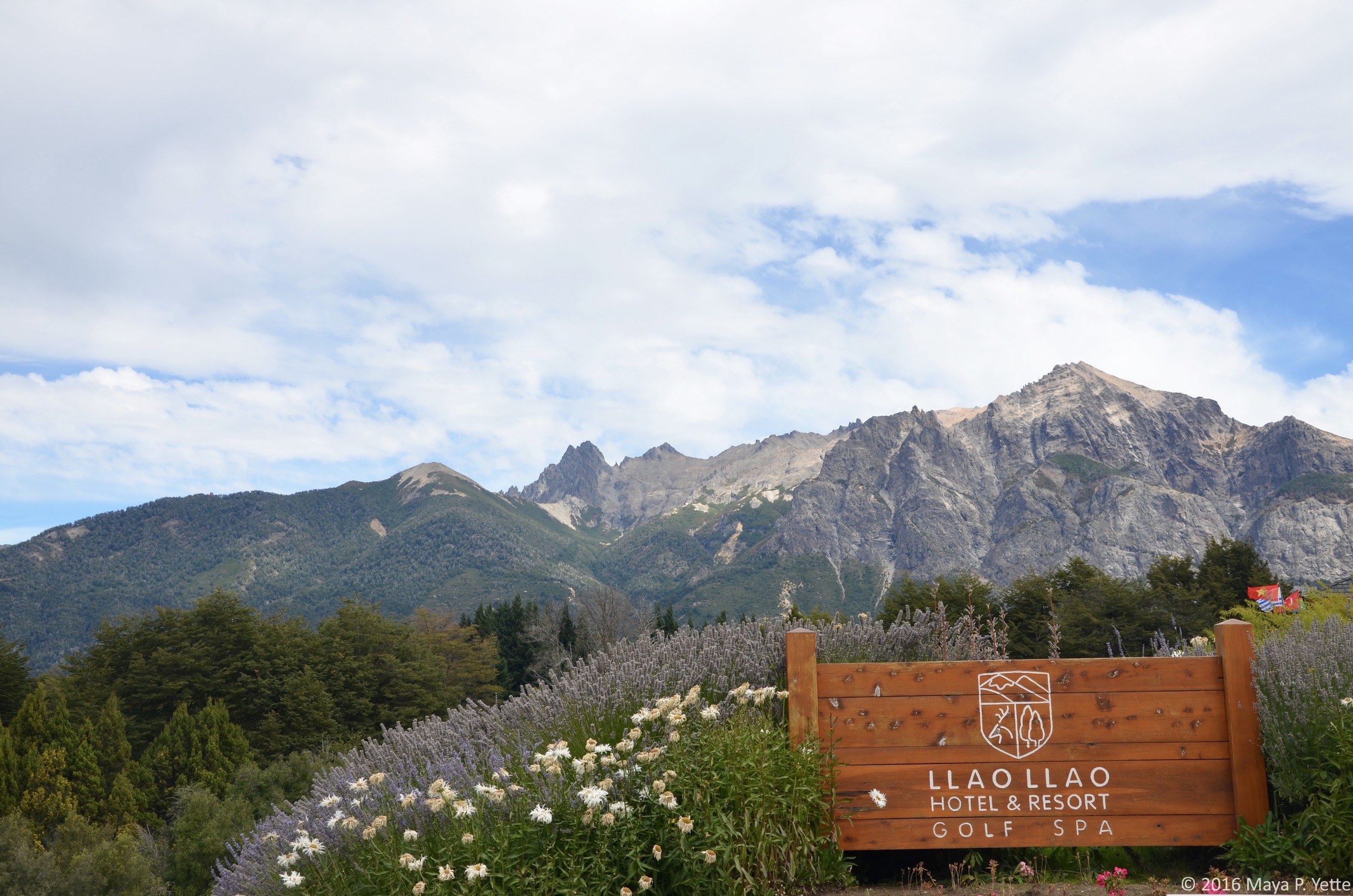
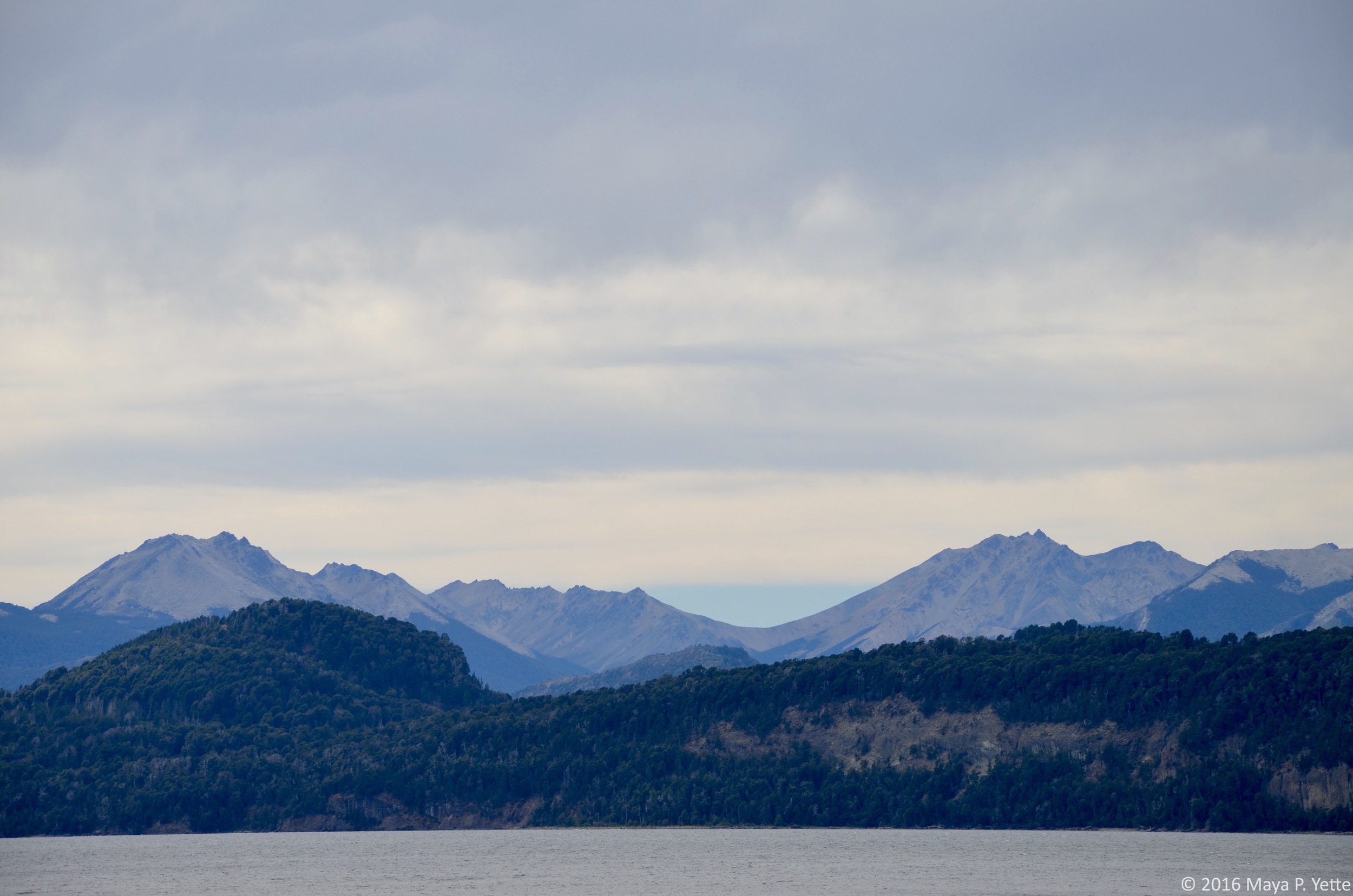
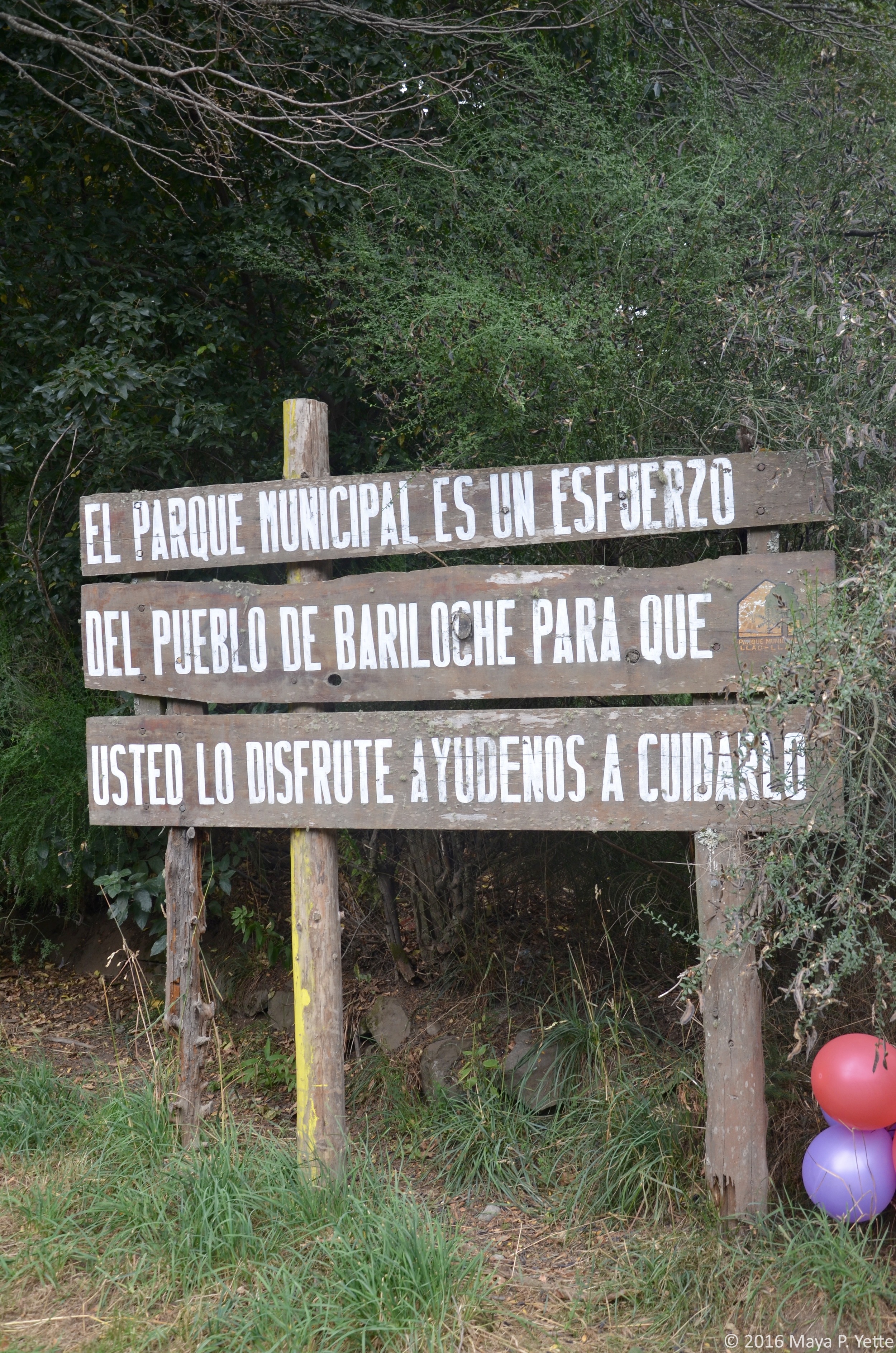
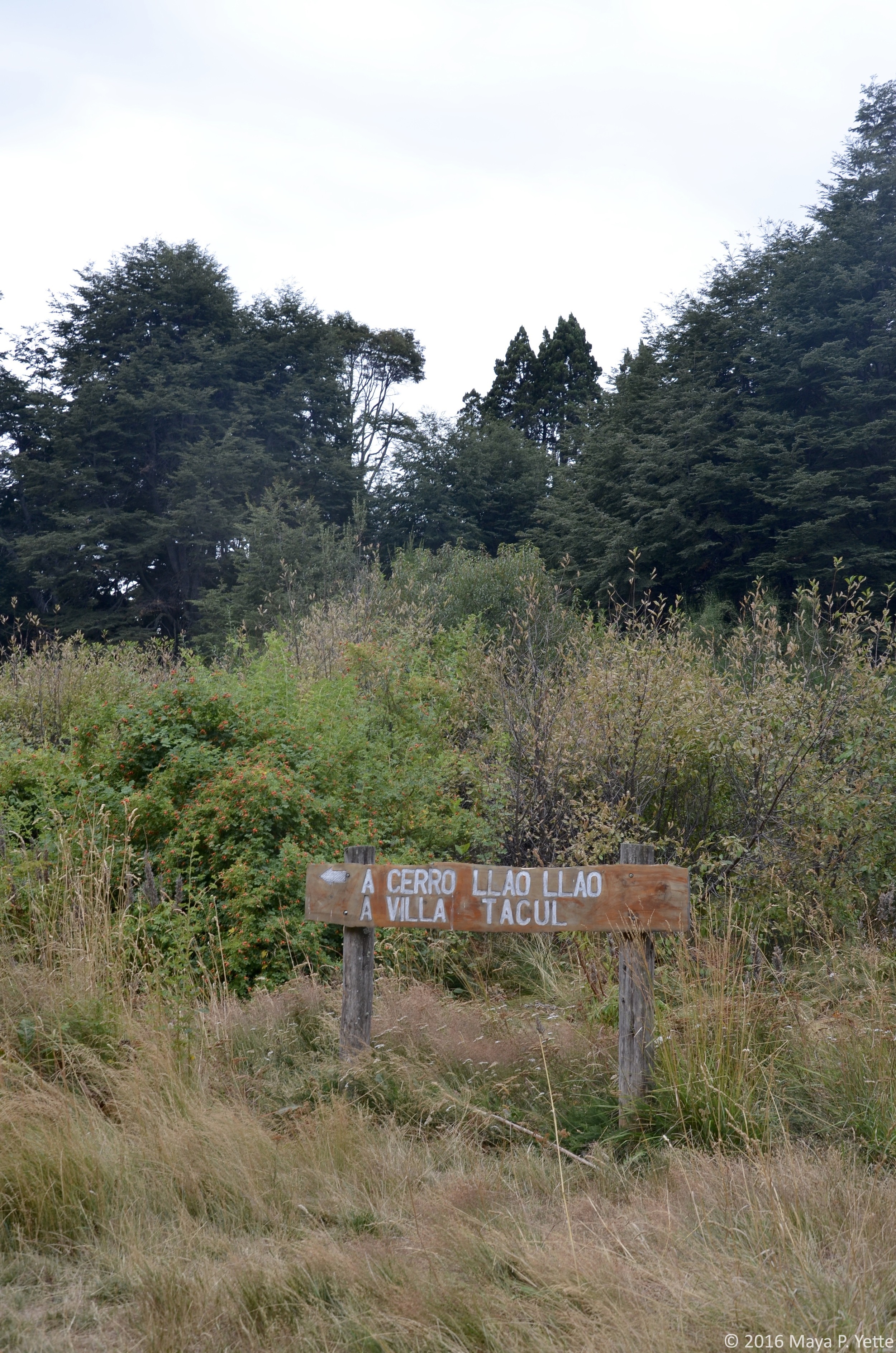
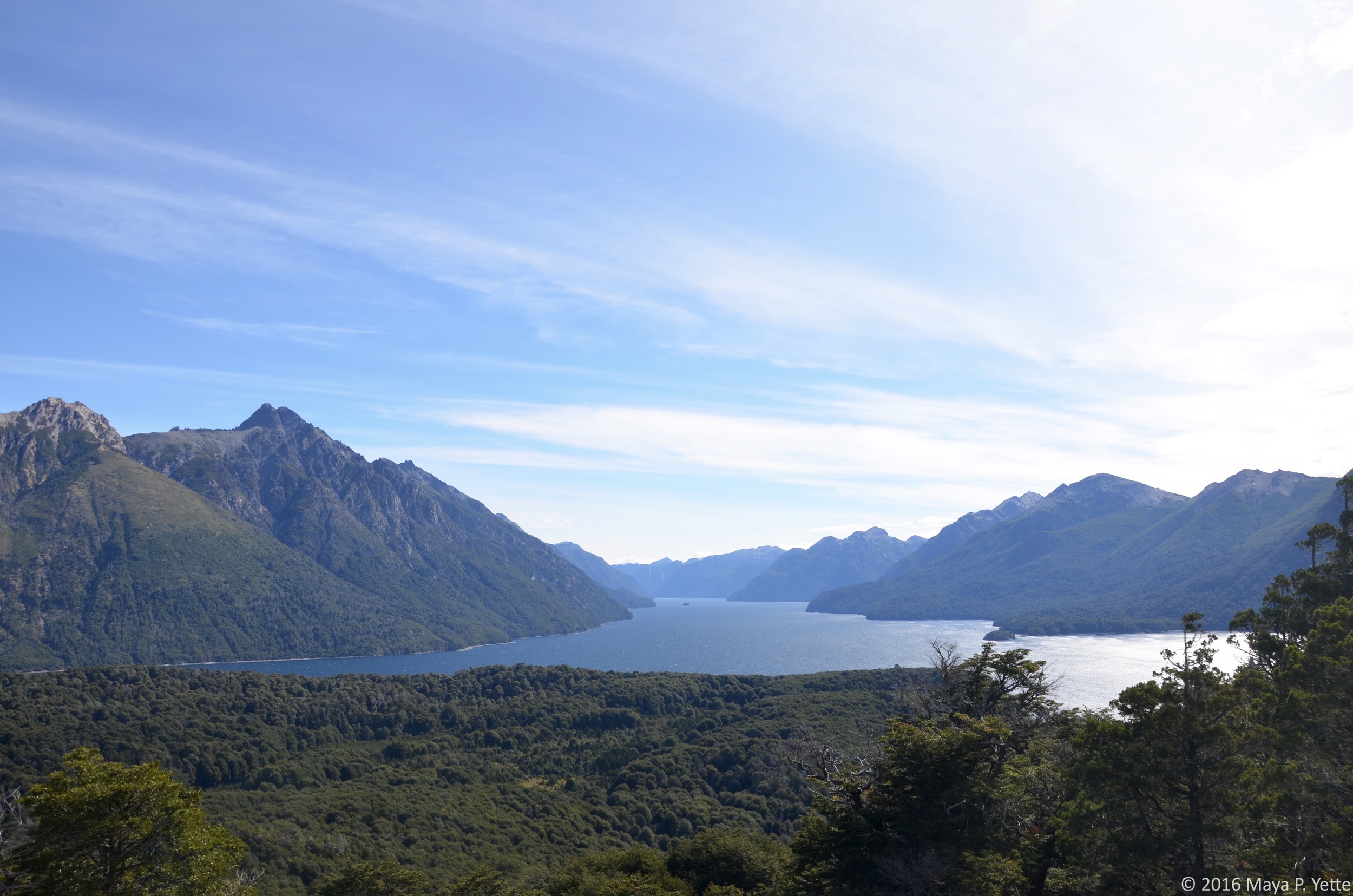
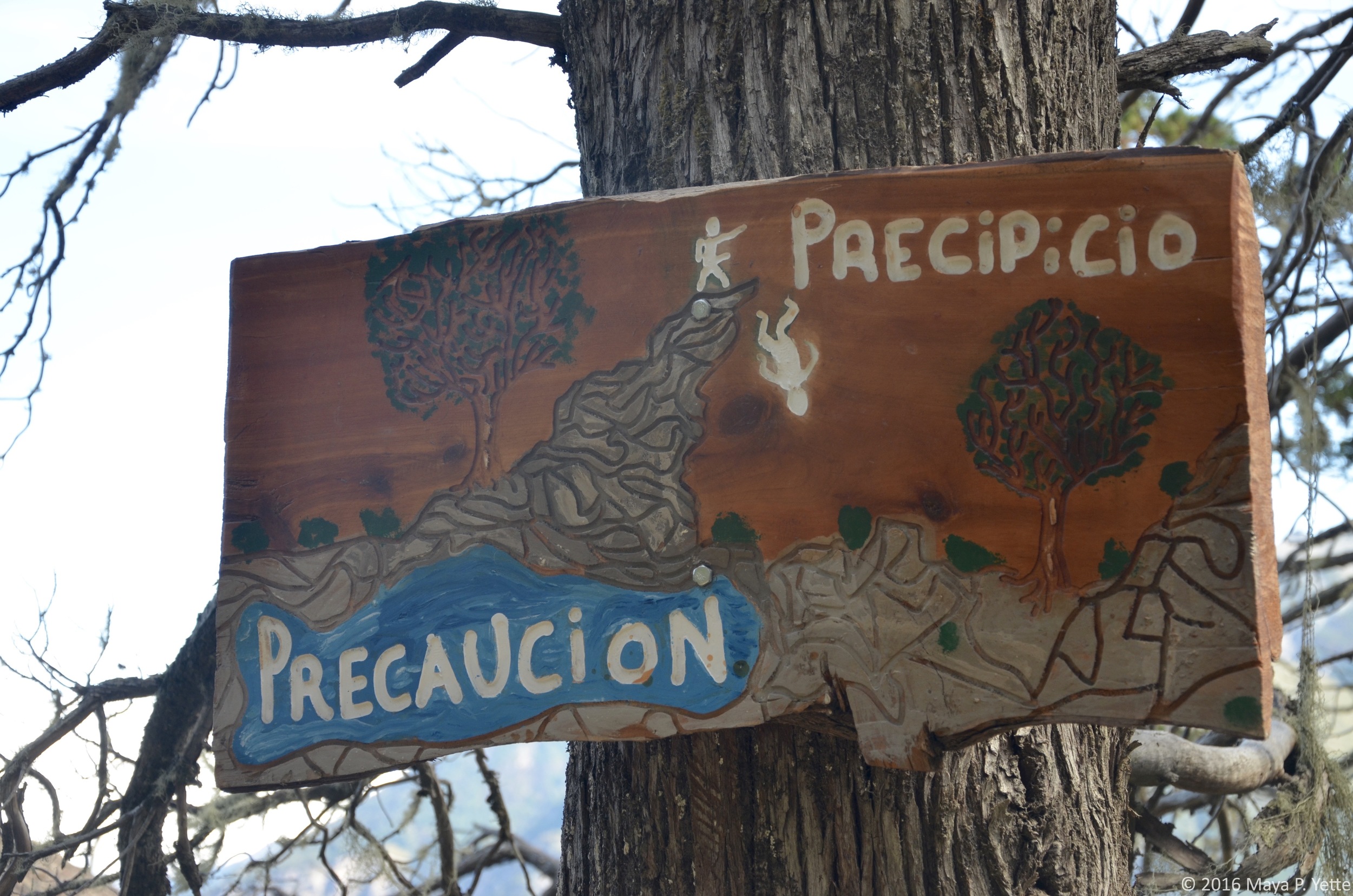
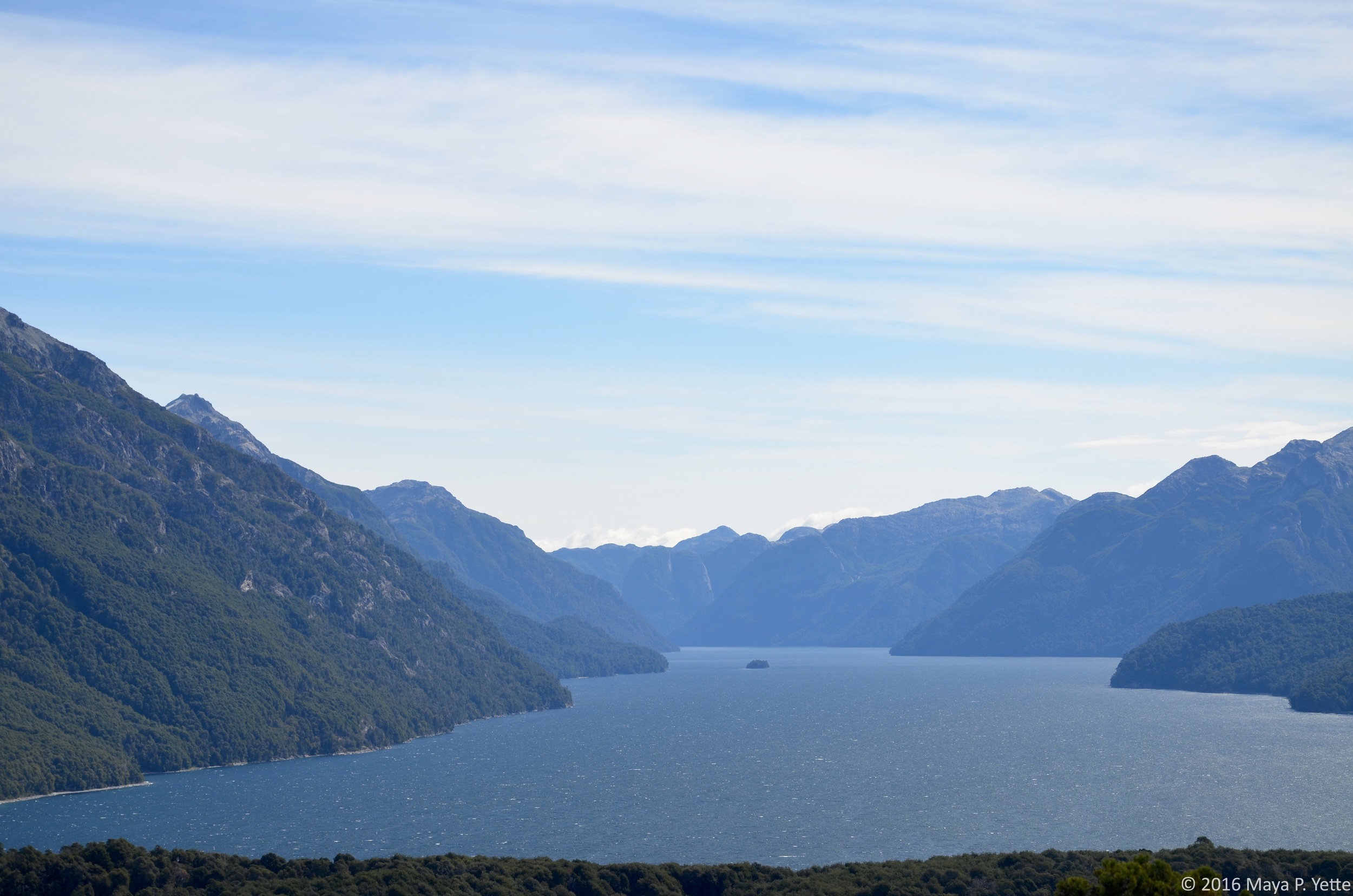
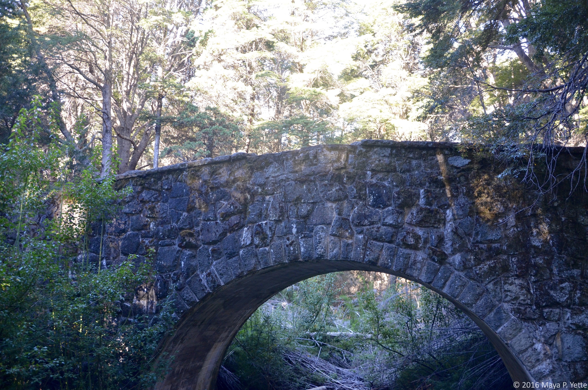
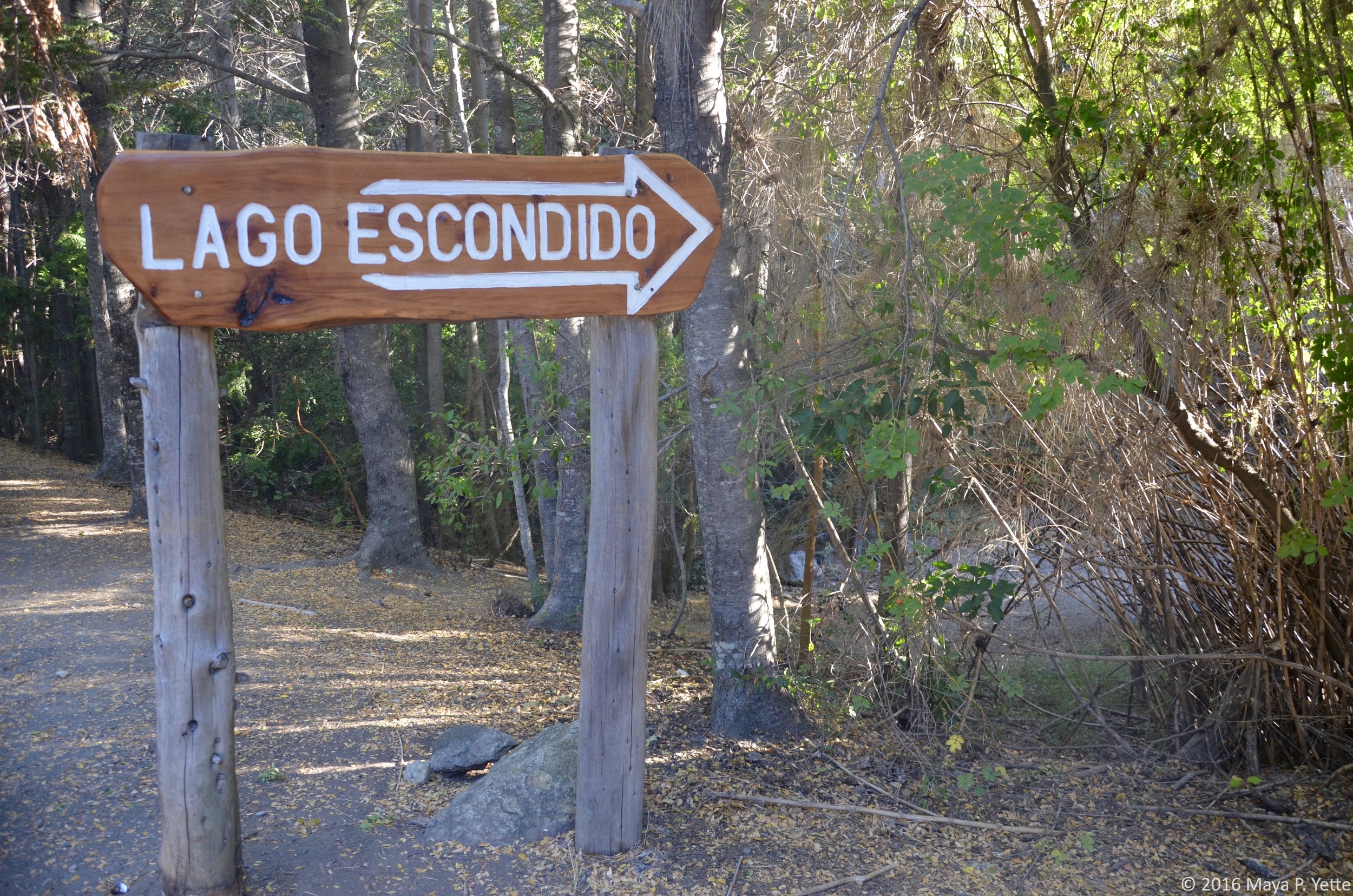
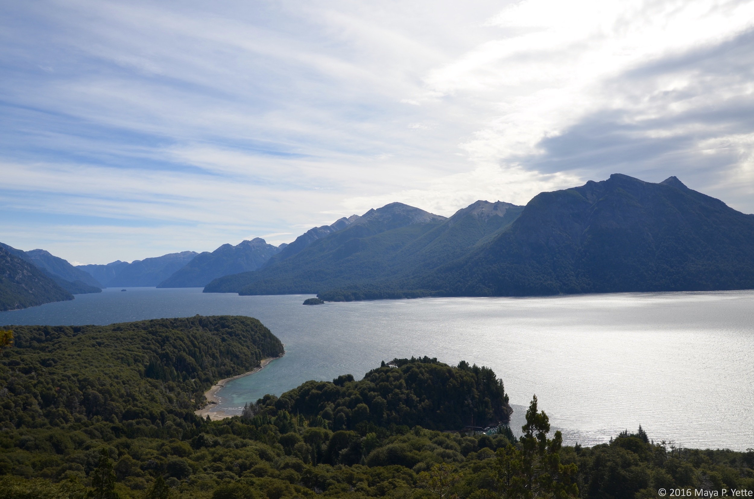
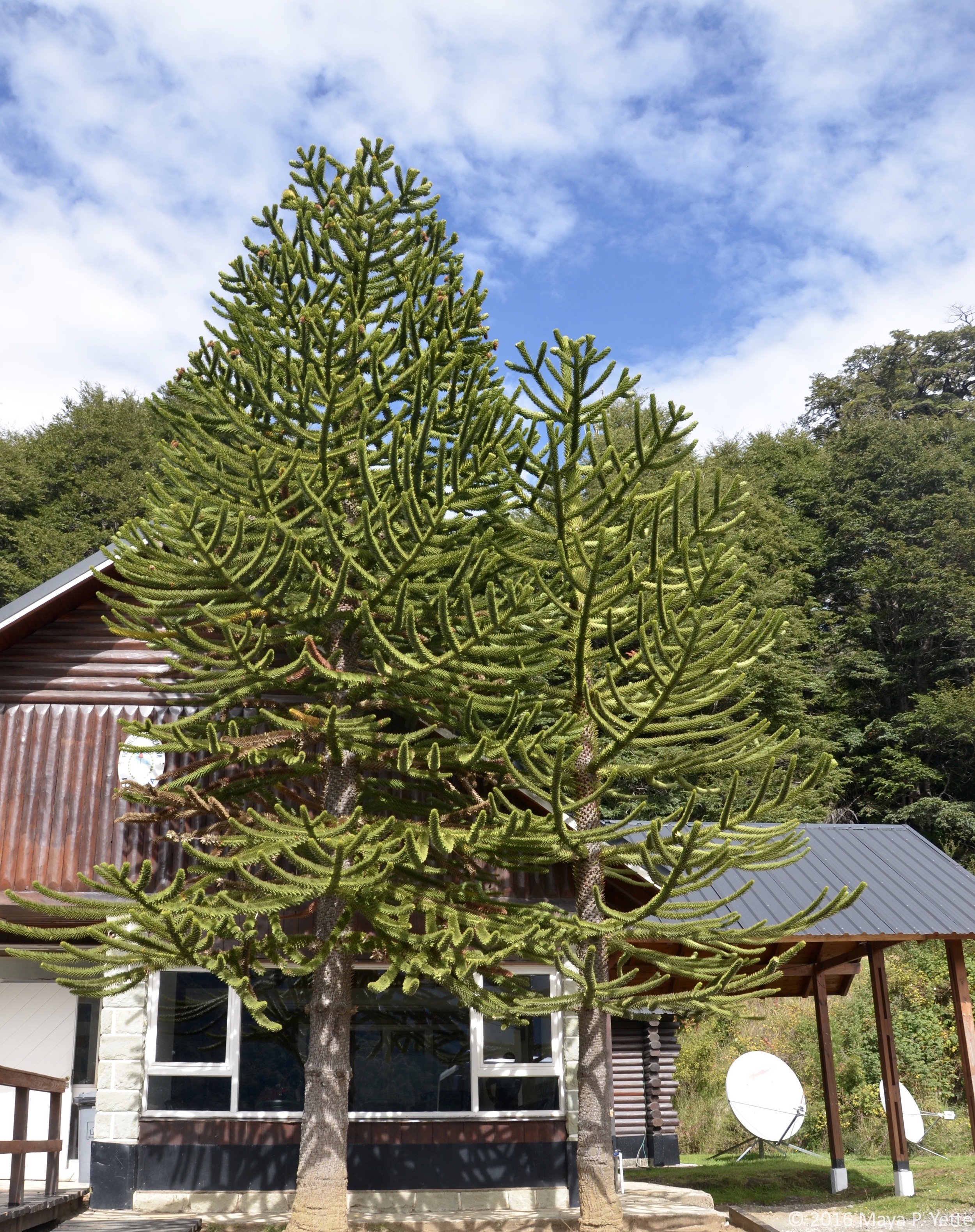
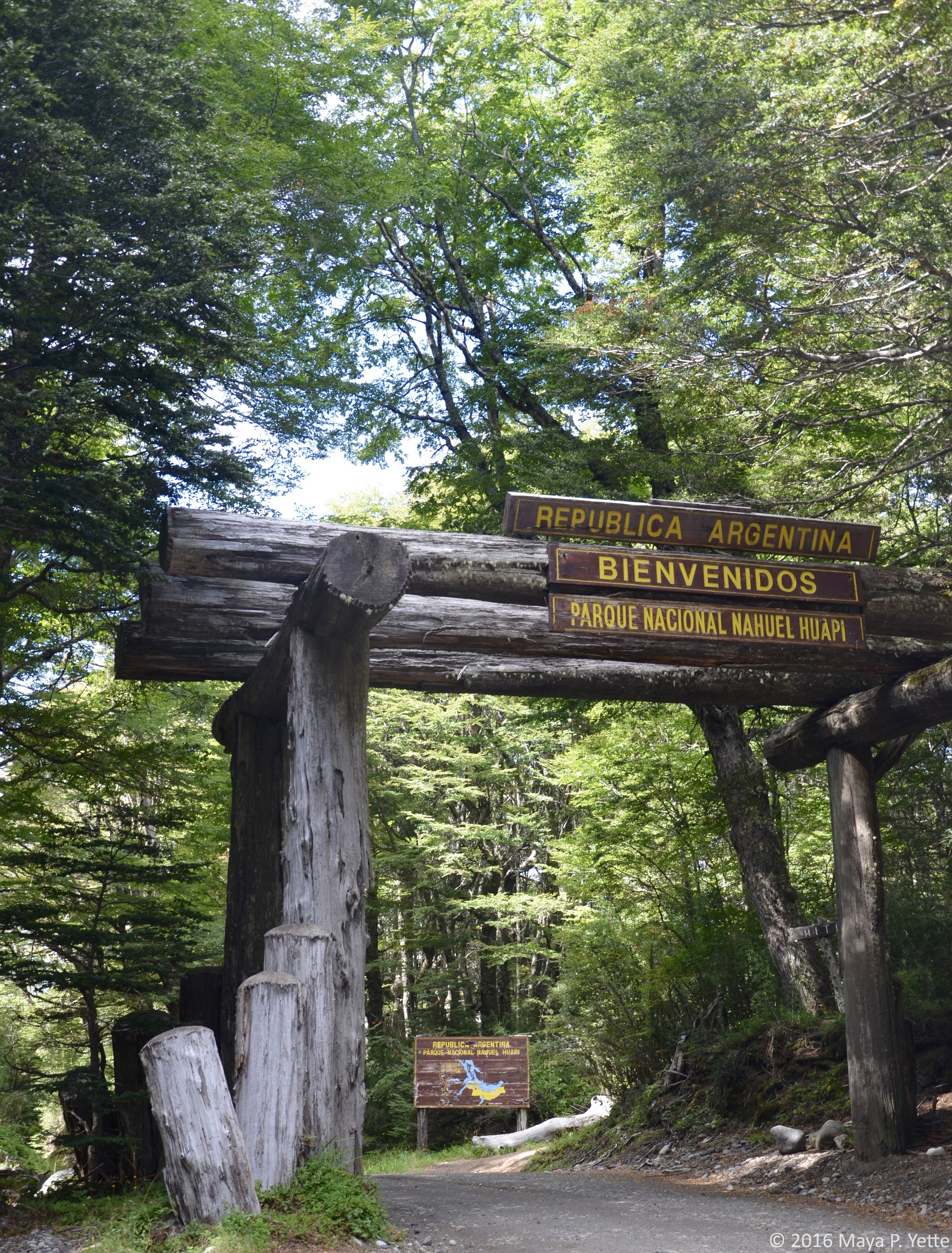
We arrived at the Llao Llao Hotel in San Carlos de Bariloche, Argentina on Monday afternoon (where we missed President Obama by a few days). As soon as we checked in and got lunch, we set off to explore Nahuel Huapi National Park. Using a map the hotel gave us we decided to hike to Cerro Llao Llao. The hike began very leisurely as we were on flat ground passing through quiet forests filled with apple trees and other lush vegetation. All of a sudden we found ourselves climbing steadily upward as we began to approach the lookout point. As we kept climbing, hopping over rocks and tree roots, I began to doubt whether we’d ever reach the top but my hopes rose with each glimpse we caught of the lake through the trees. Finally, we reached the lookout point and were rewarded with incredible views (my favorite of the entire trip) of the Lago Nahuel Huapi (lago = lake). We had to pull ourselves away after a few short minutes in order to continue our trek and make it back before dark. We intended to follow the map and signs to Villa Tacul but somehow ended up on a deserted beach with a couple of dogs. From there we headed to the next marked path we could find and followed it to the Puente Romano (Roman Bridge) and Lago Escondido (Hidden Lake) before heading back to watch the sunset at the Llao Llao.

TUESDAY

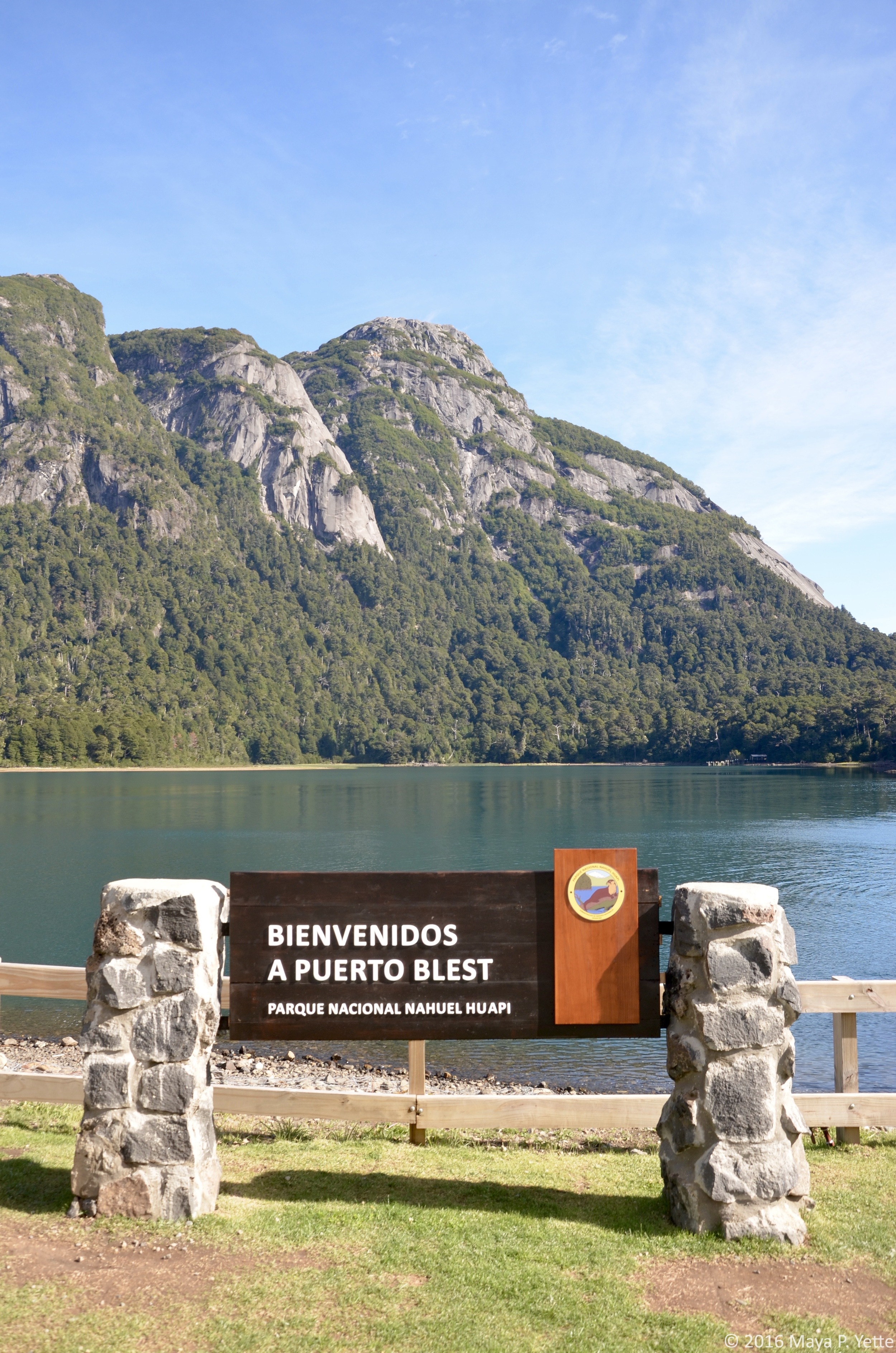
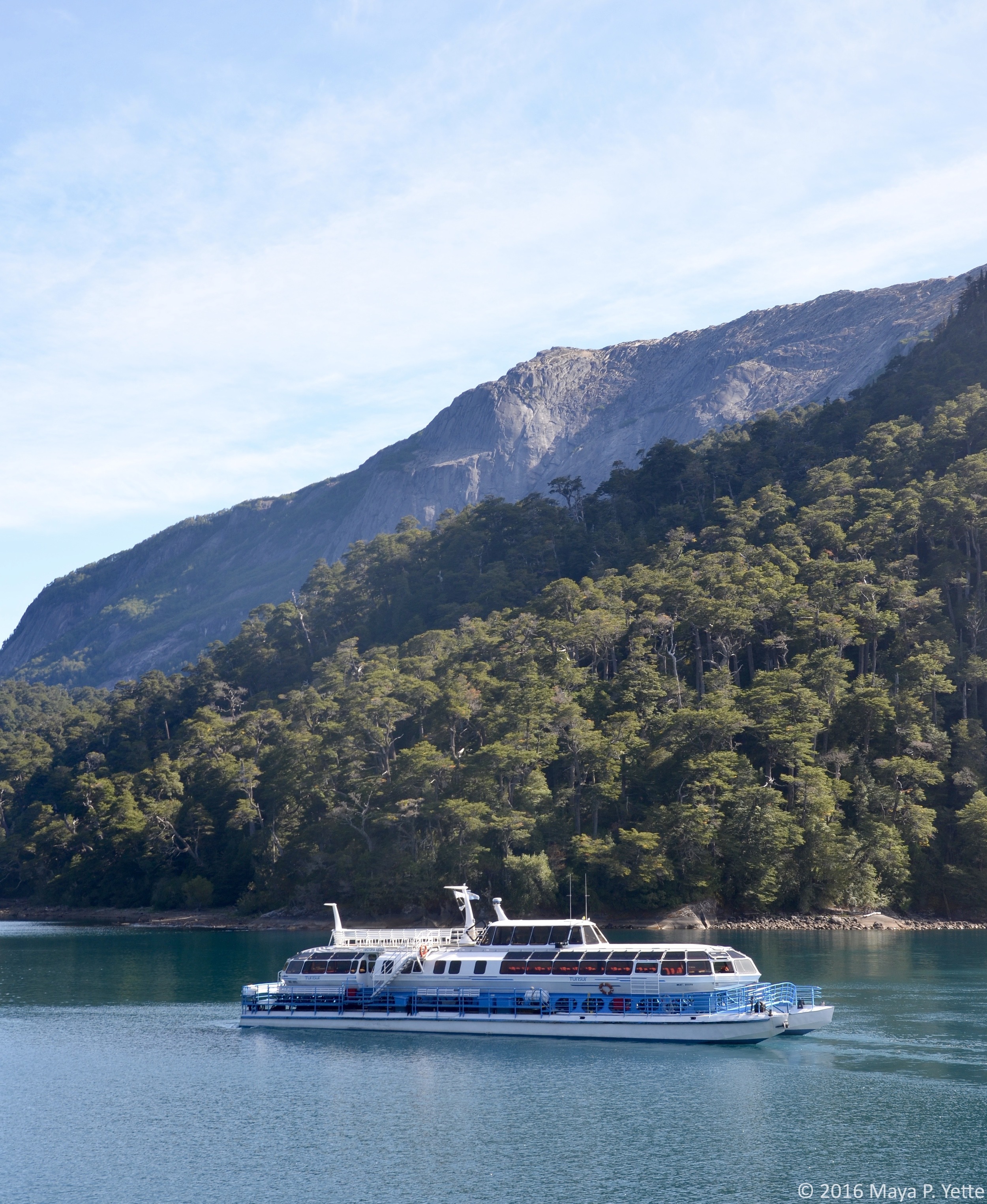
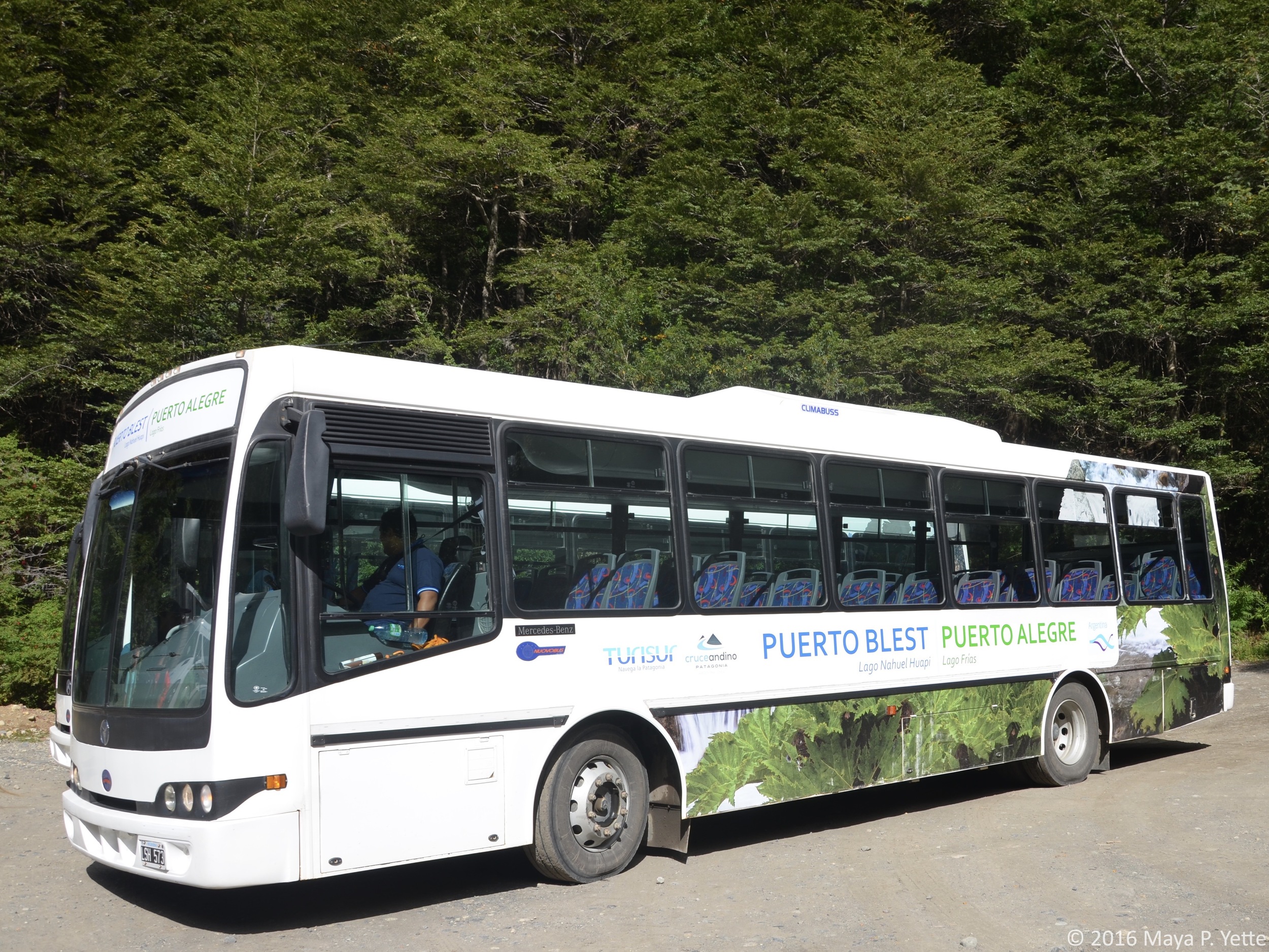
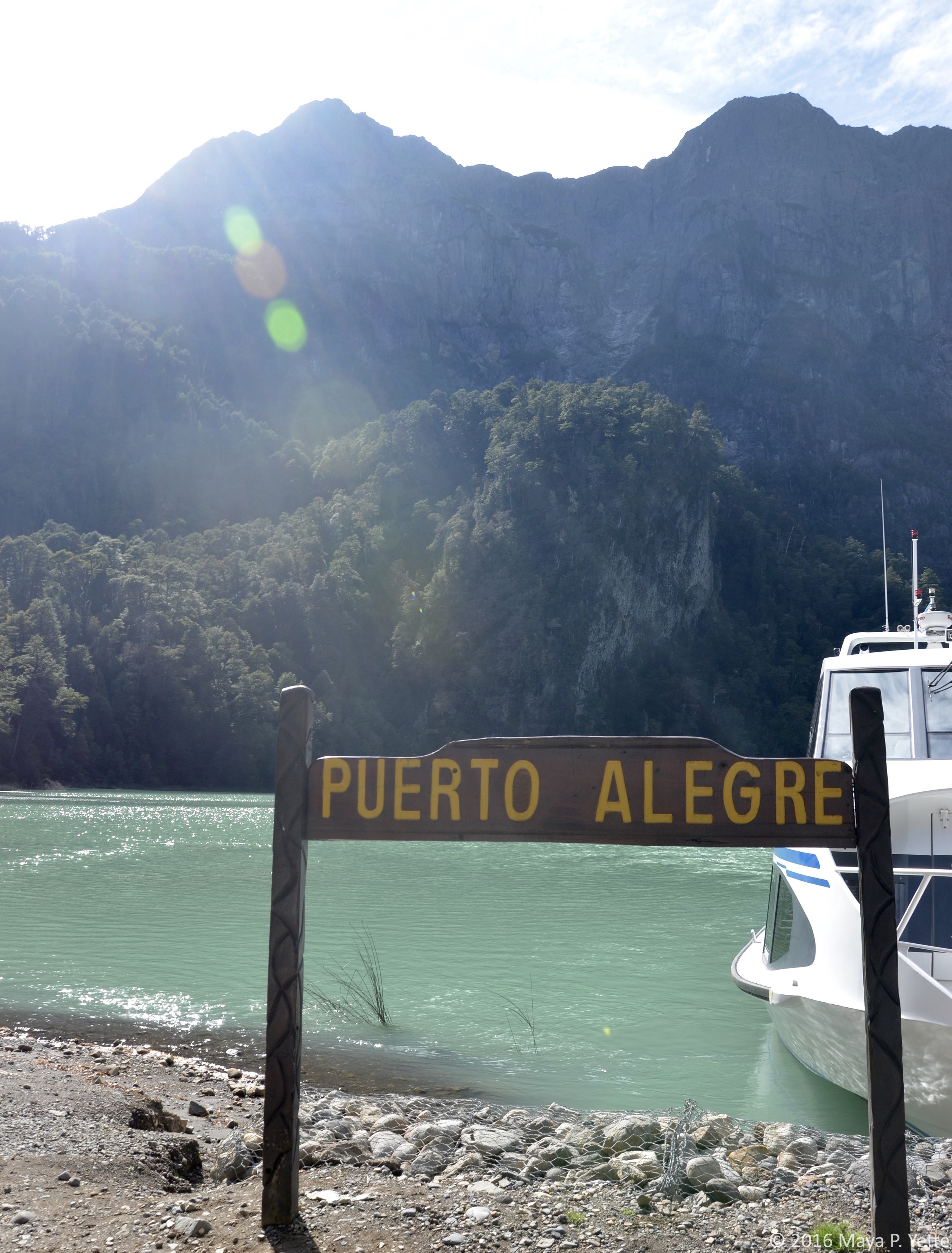
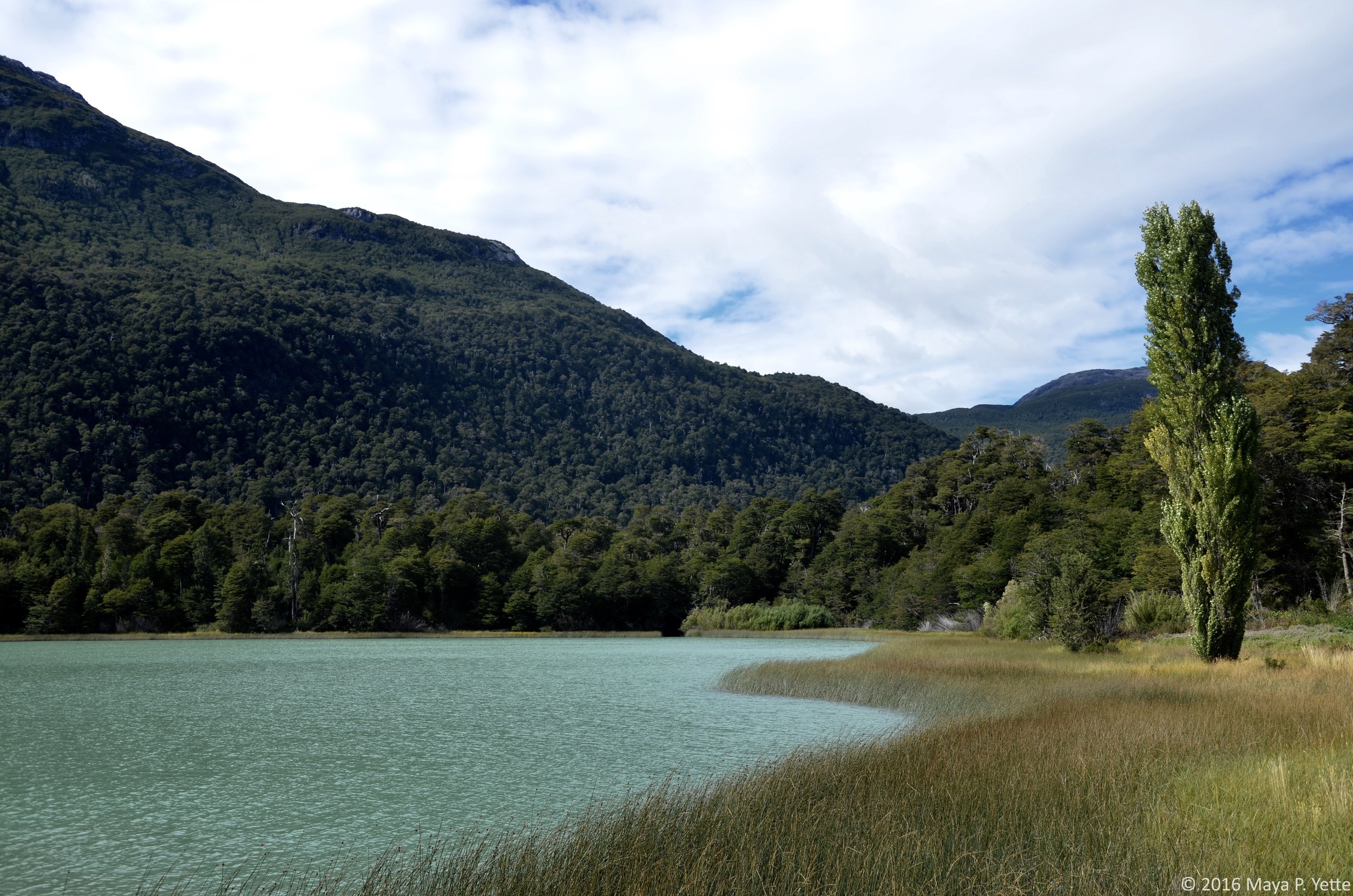
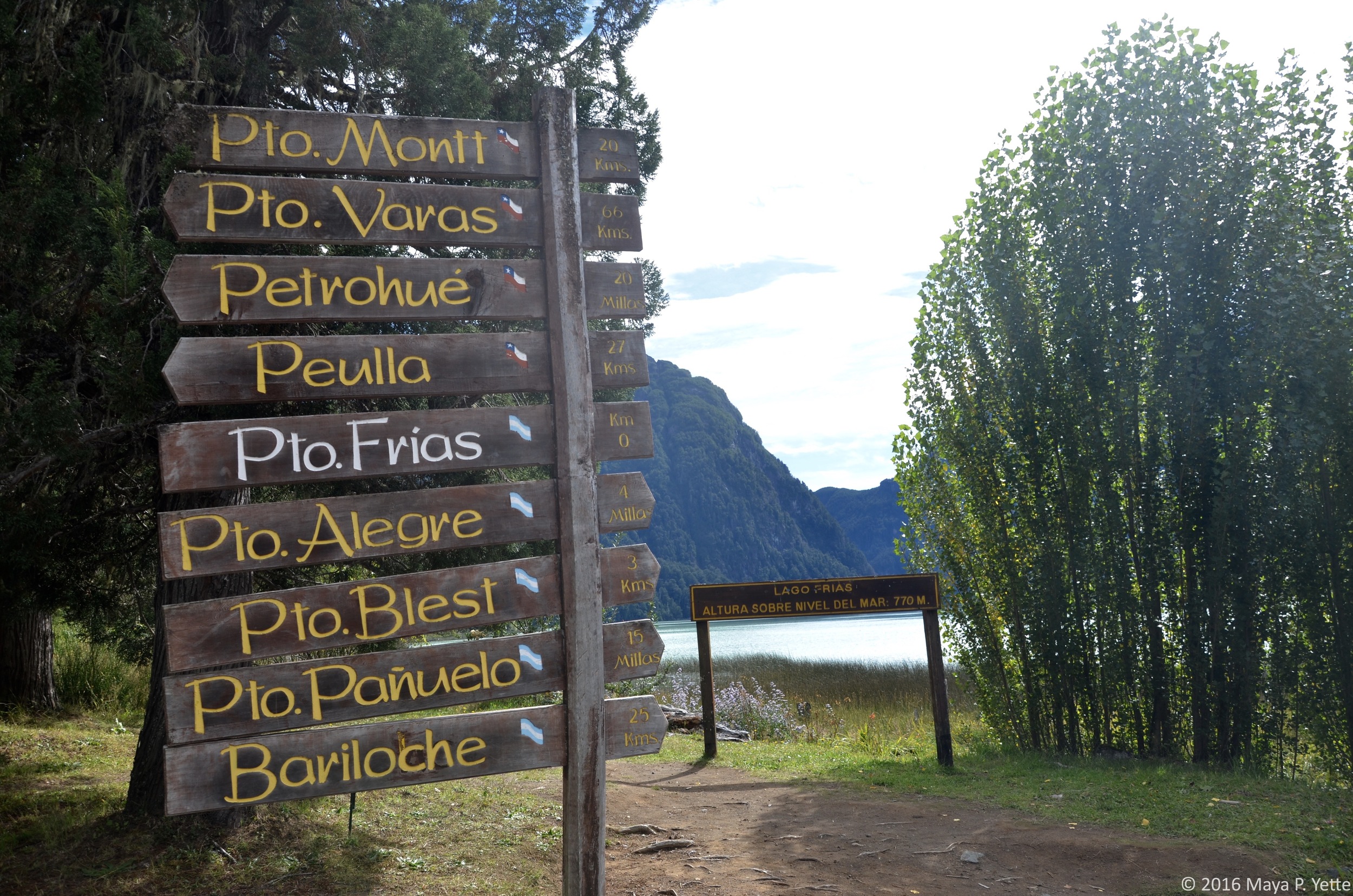
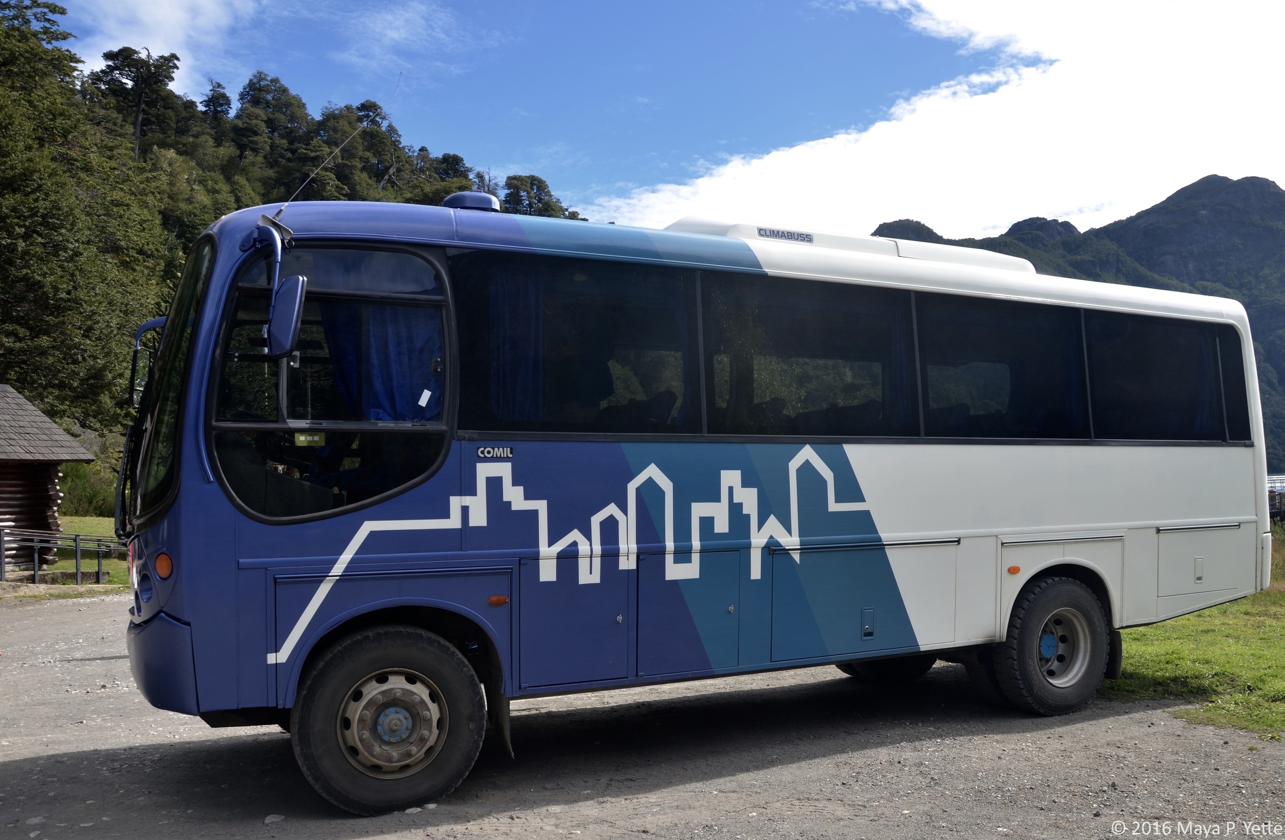
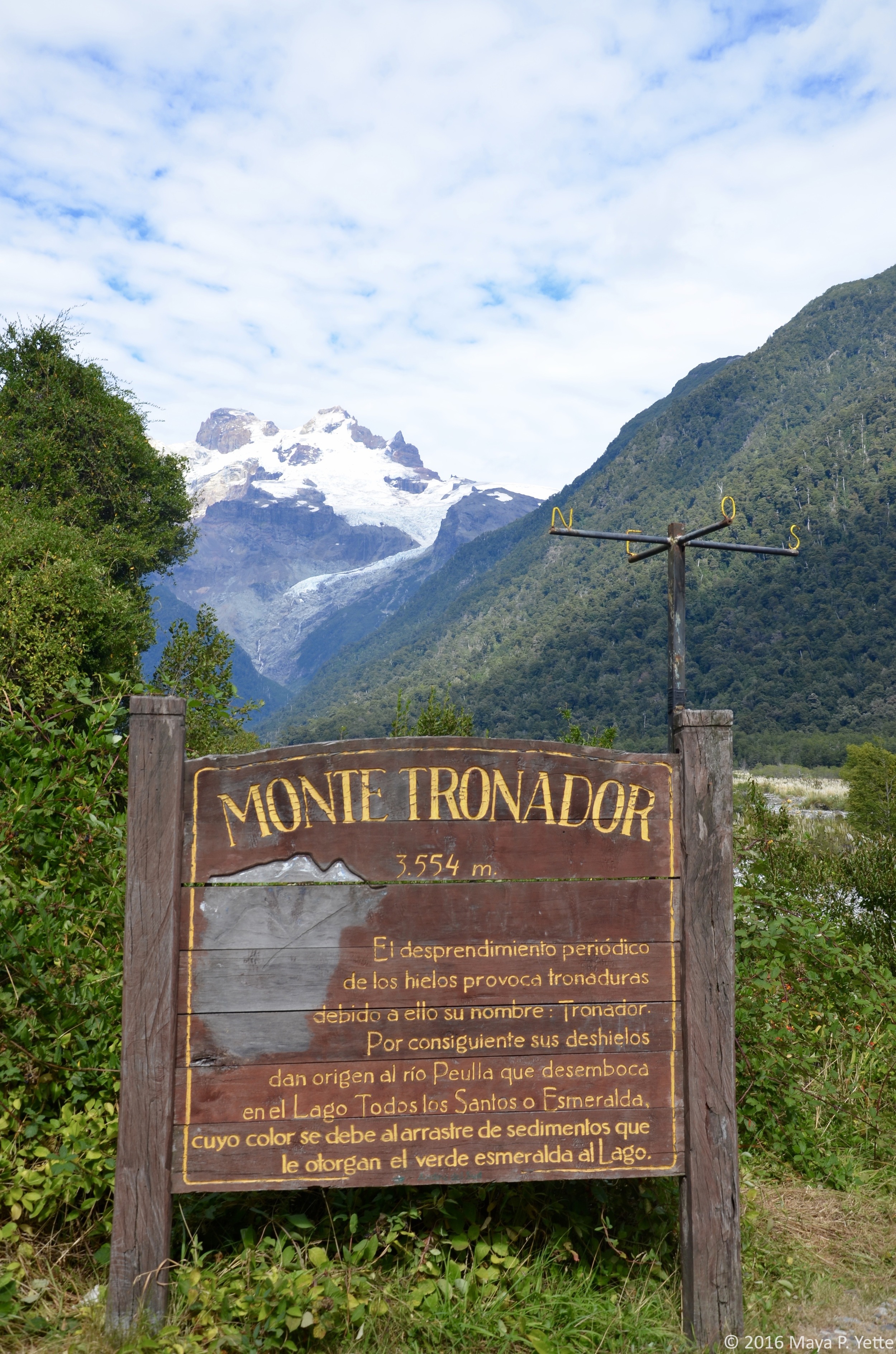
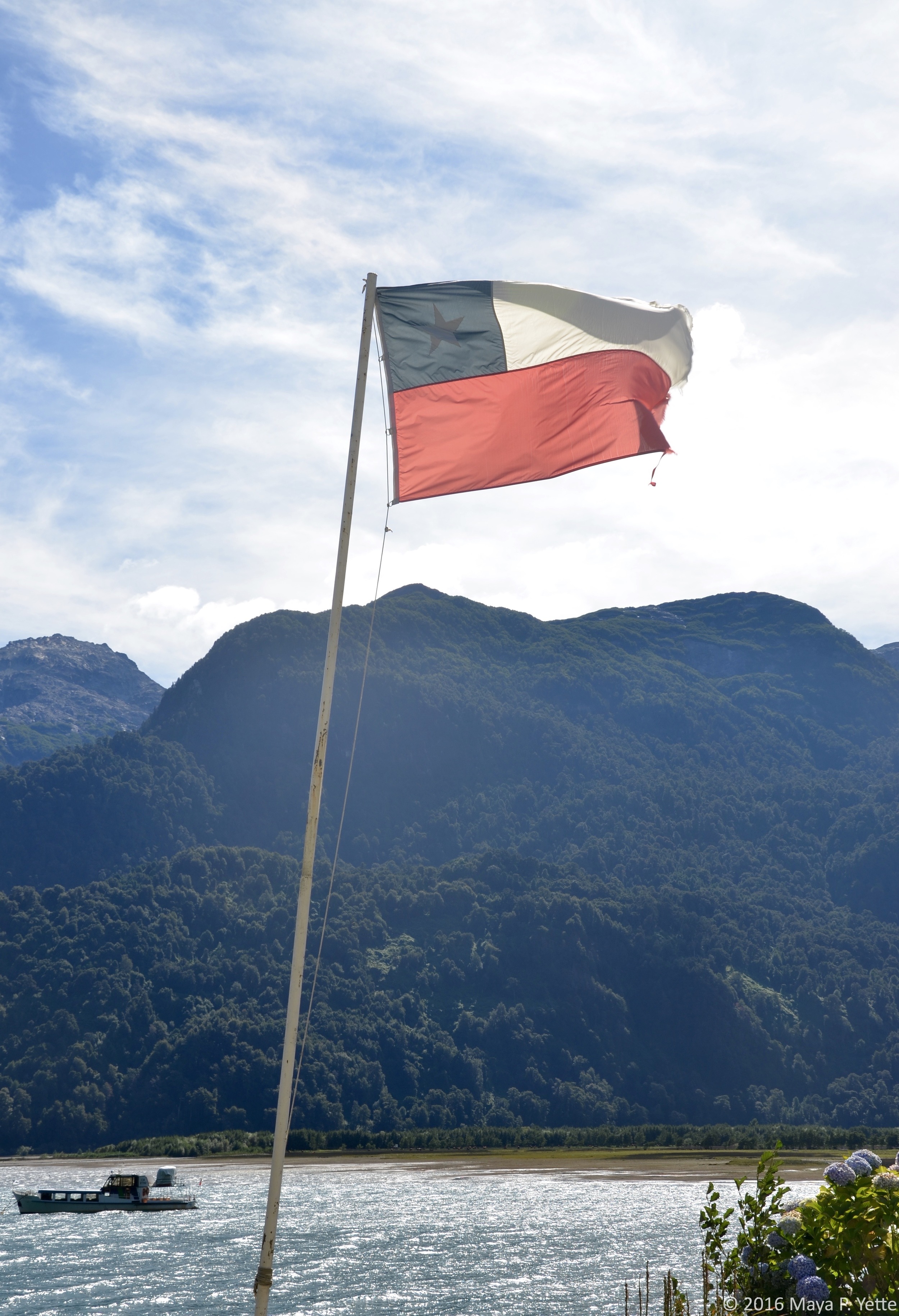
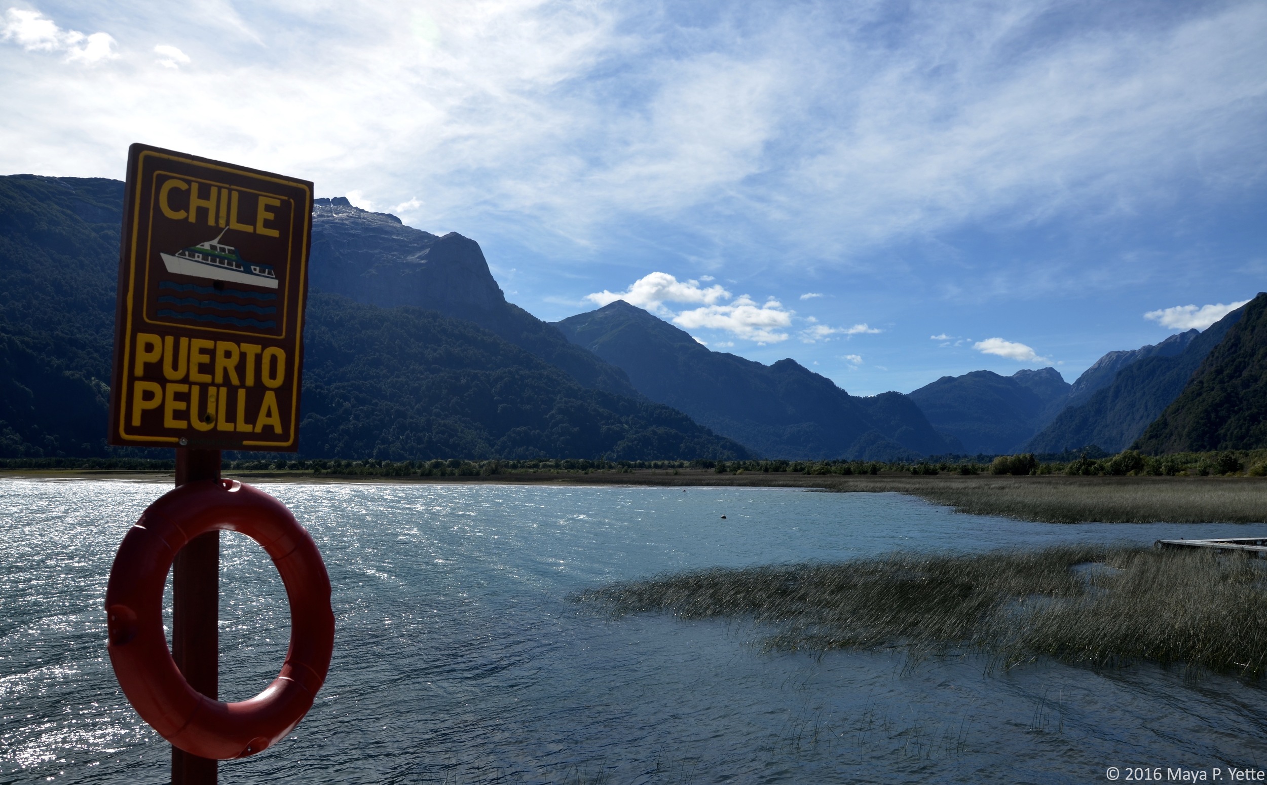
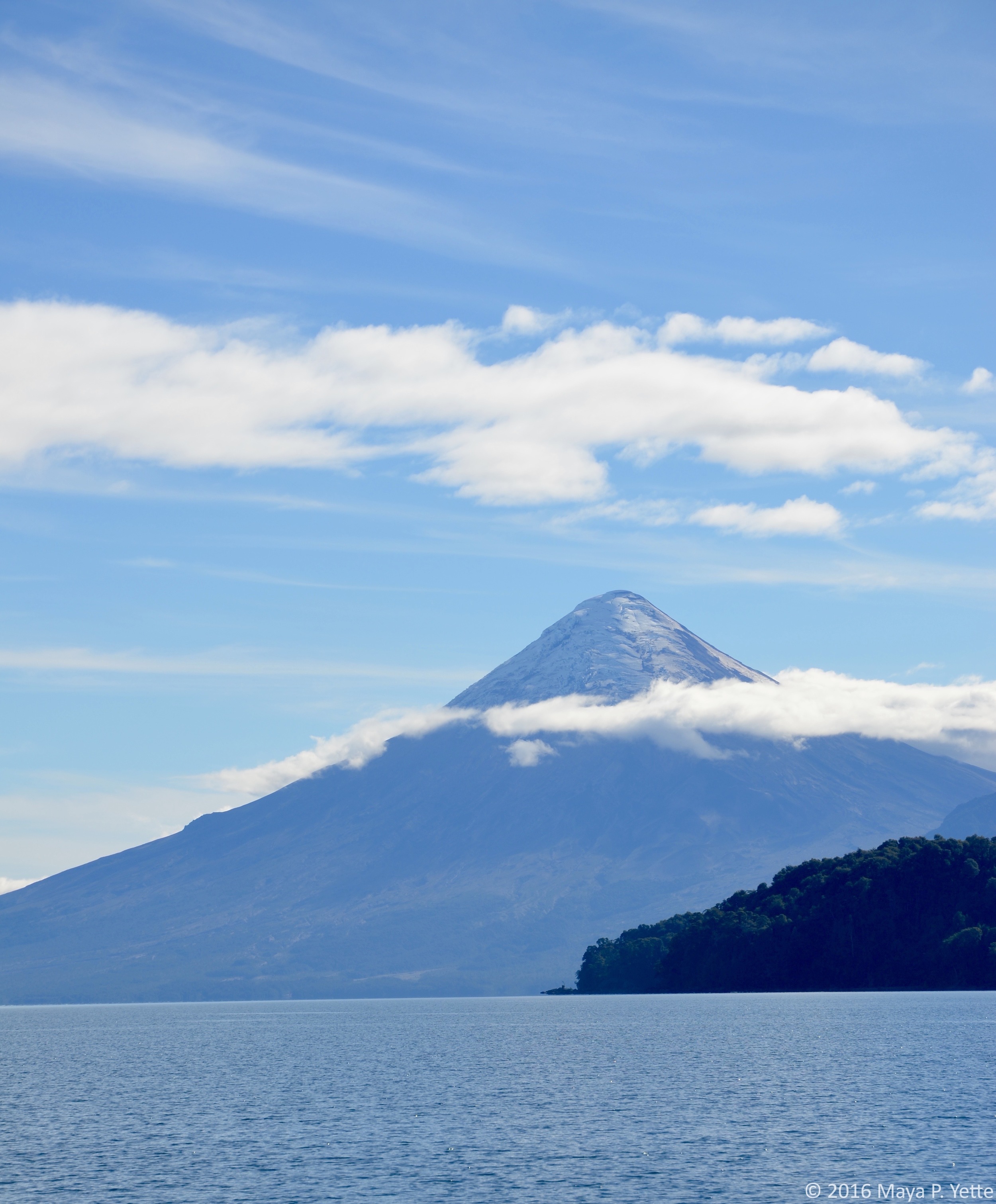
On Tuesday, we got up early to spend the day on four buses and three ferries for a “Lake Crossing” from Bariloche to Puerto Varas, Chile. In Bariloche we boarded a ferry that took us across Lago Nahuel Huapi to Puerto Blest. We then took a short bus ride to Puerto Alegre where we boarded a ferry to cross Lago Frías. This was the shortest ferry ride but my favorite because the lake was the most incredible light green color, apparently from the sediment in the water. From Lago Frías we boarded another bus that carried us through Chile’s Vicente Perez Rosales National Park to Puerto Peulla and our final lake of the day, Lago Todos Los Santos. Once we crossed Lago Todos Los Santos we took a bus into Puerto Varas. From there we made our way to Hotel Casa Molino, in the nearby town of Llanquihue, directly overlooking Lago Llanquihue and the Osorno Volcano.

The Lake Crossing was amazing because not only were we able to see areas of the lake that we wouldn’t have seen had we driven to Puerto Varas, but witnessing the differing colors between all of the lakes was stunning.

WEDNESDAY

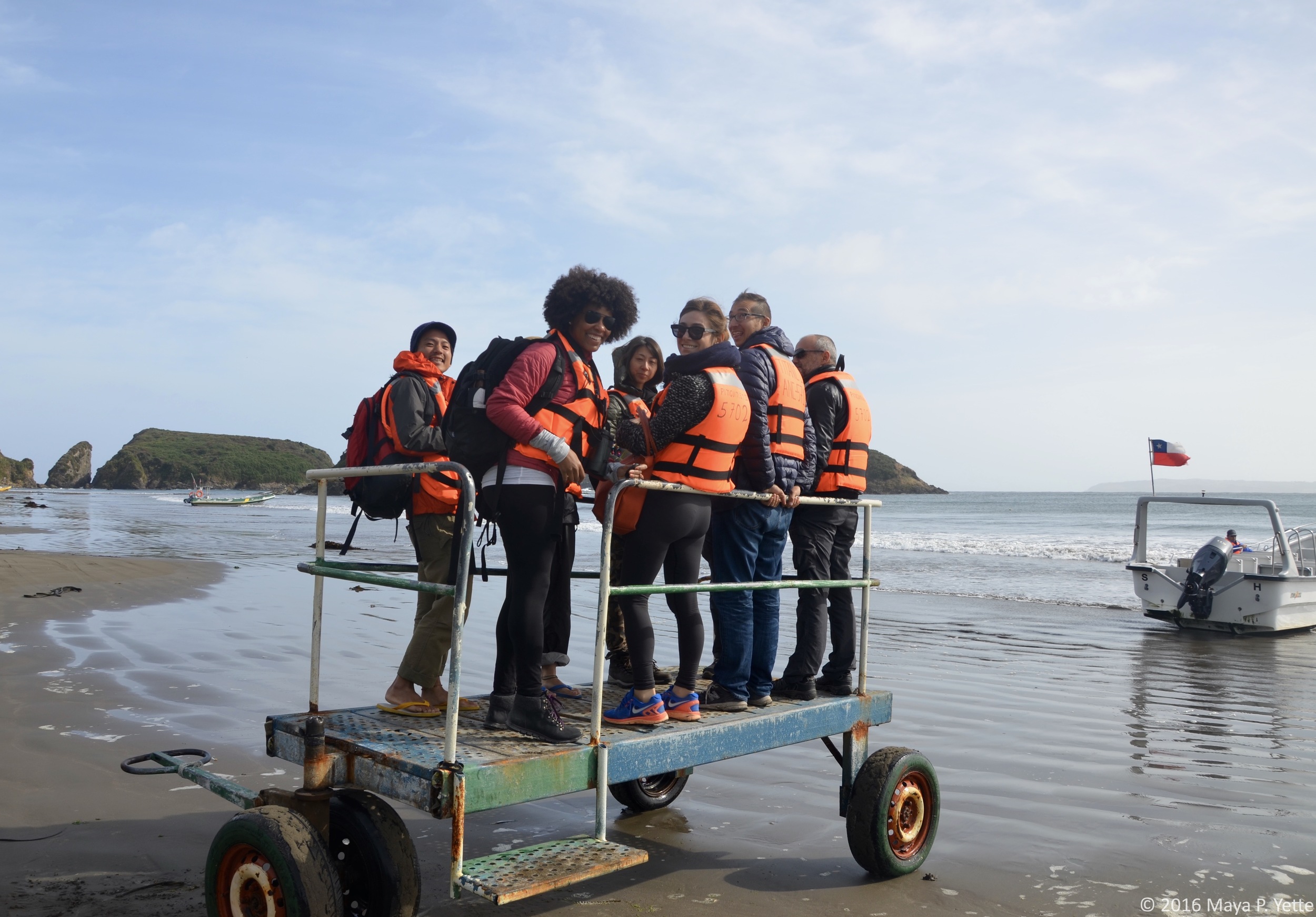
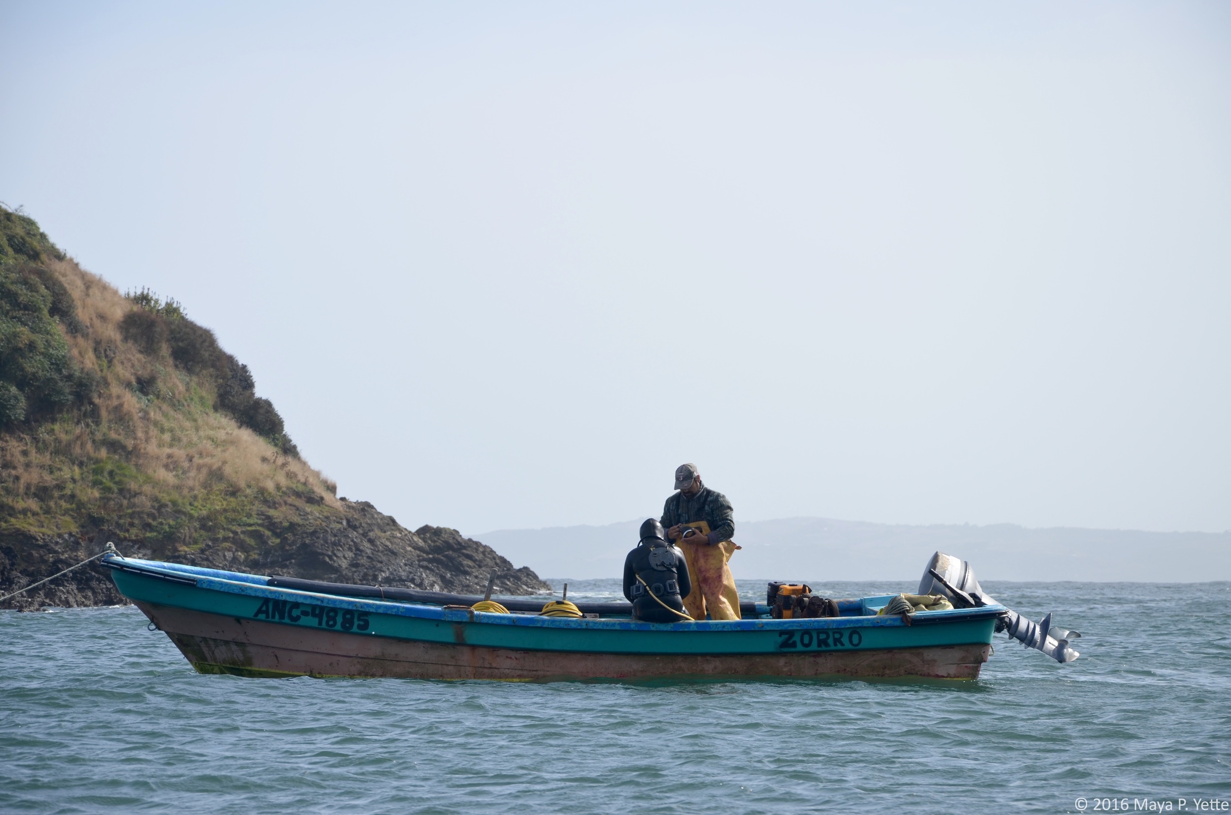
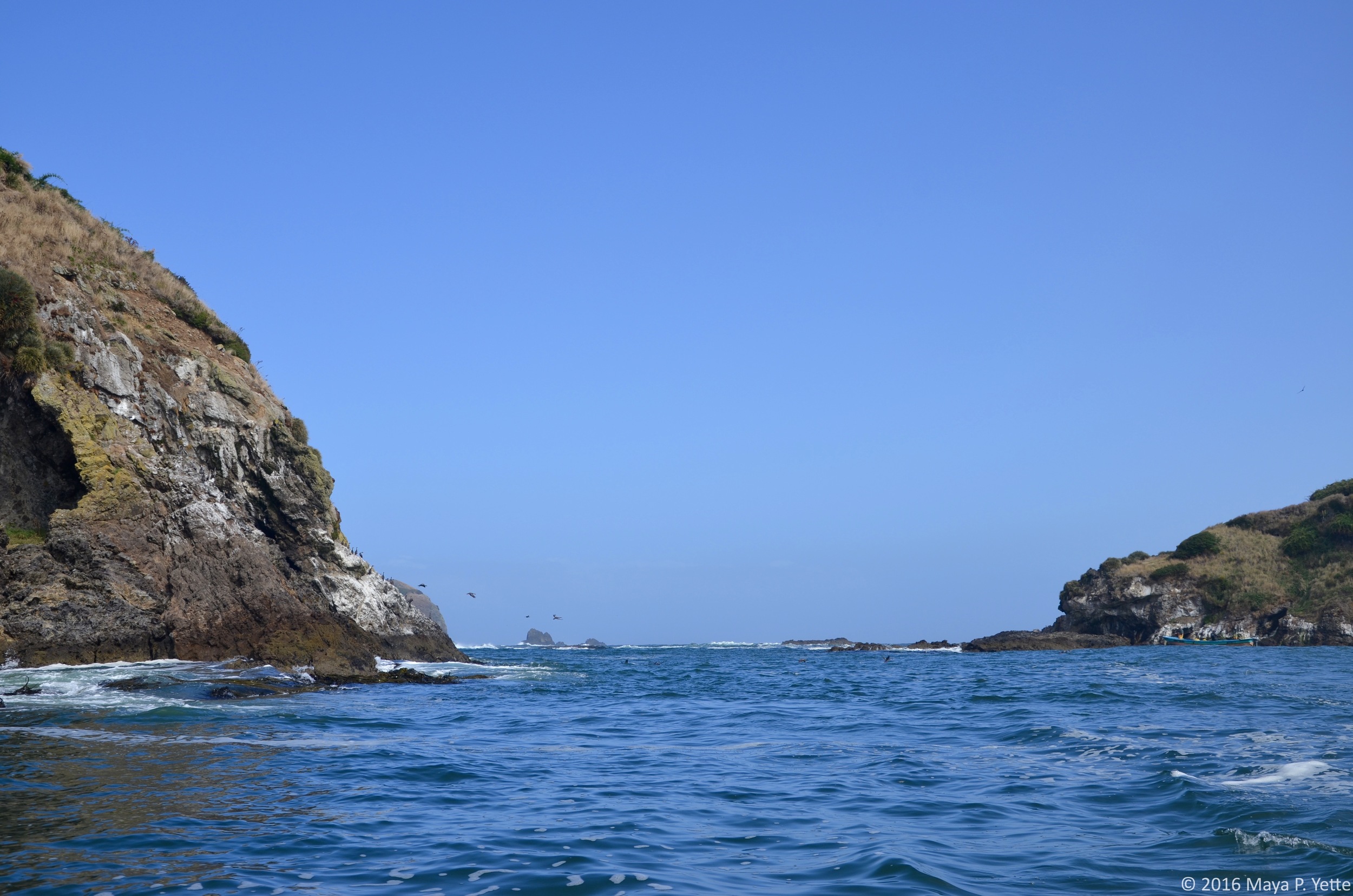
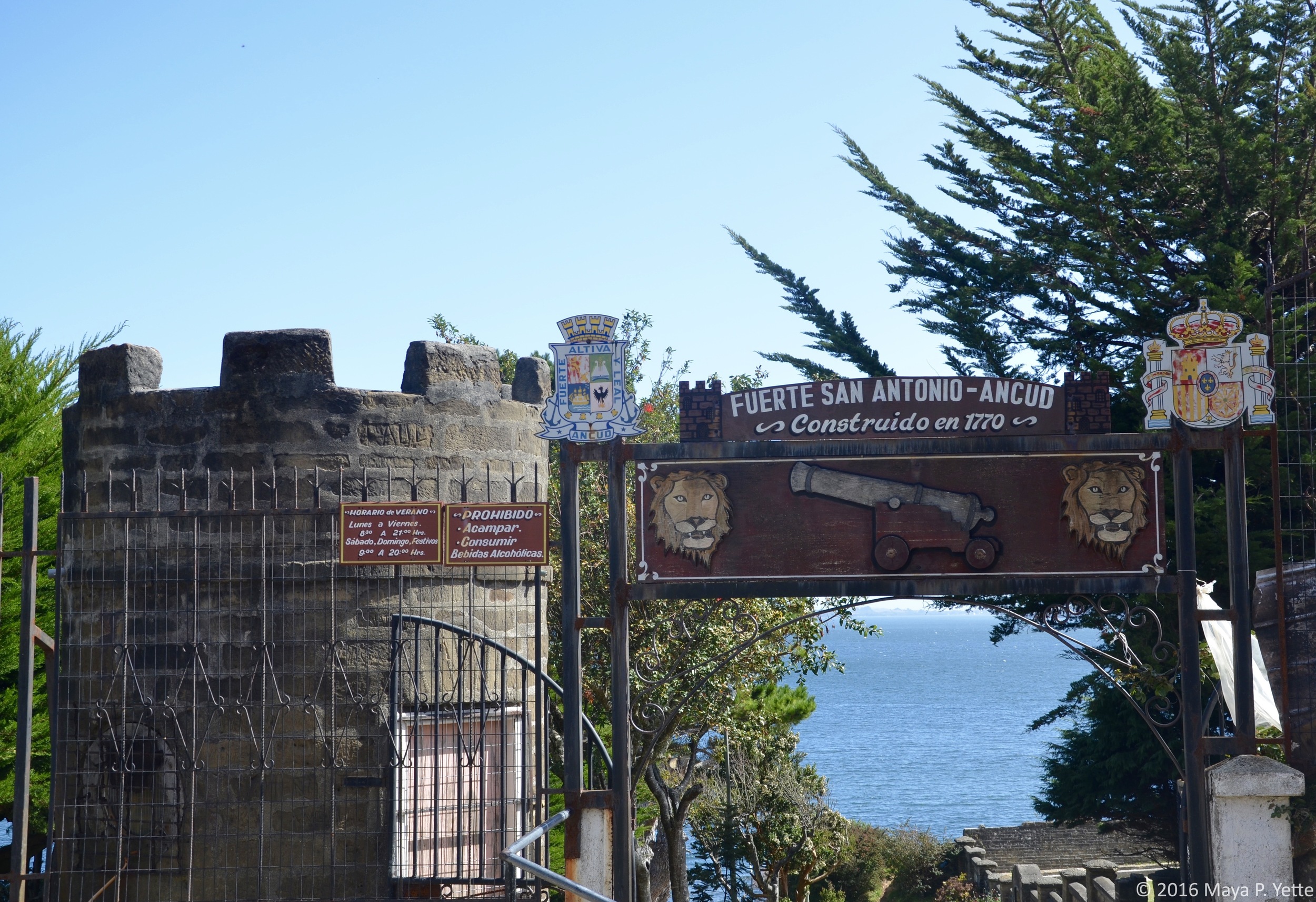
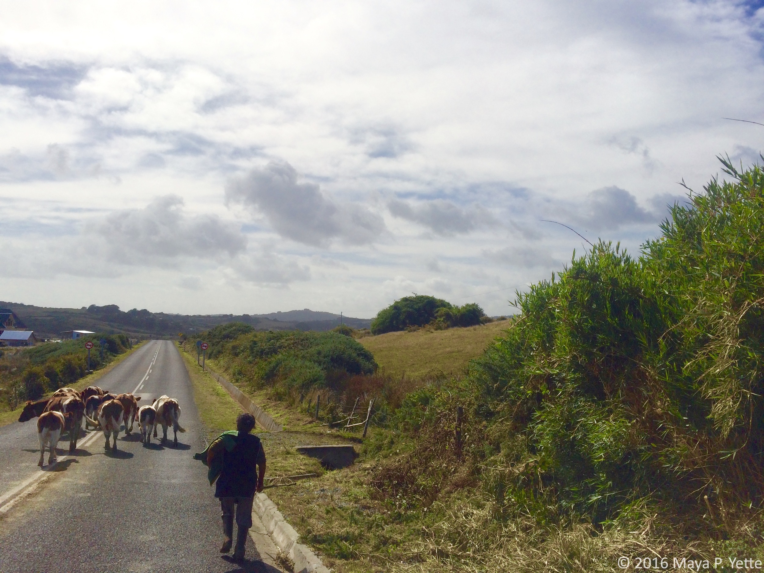
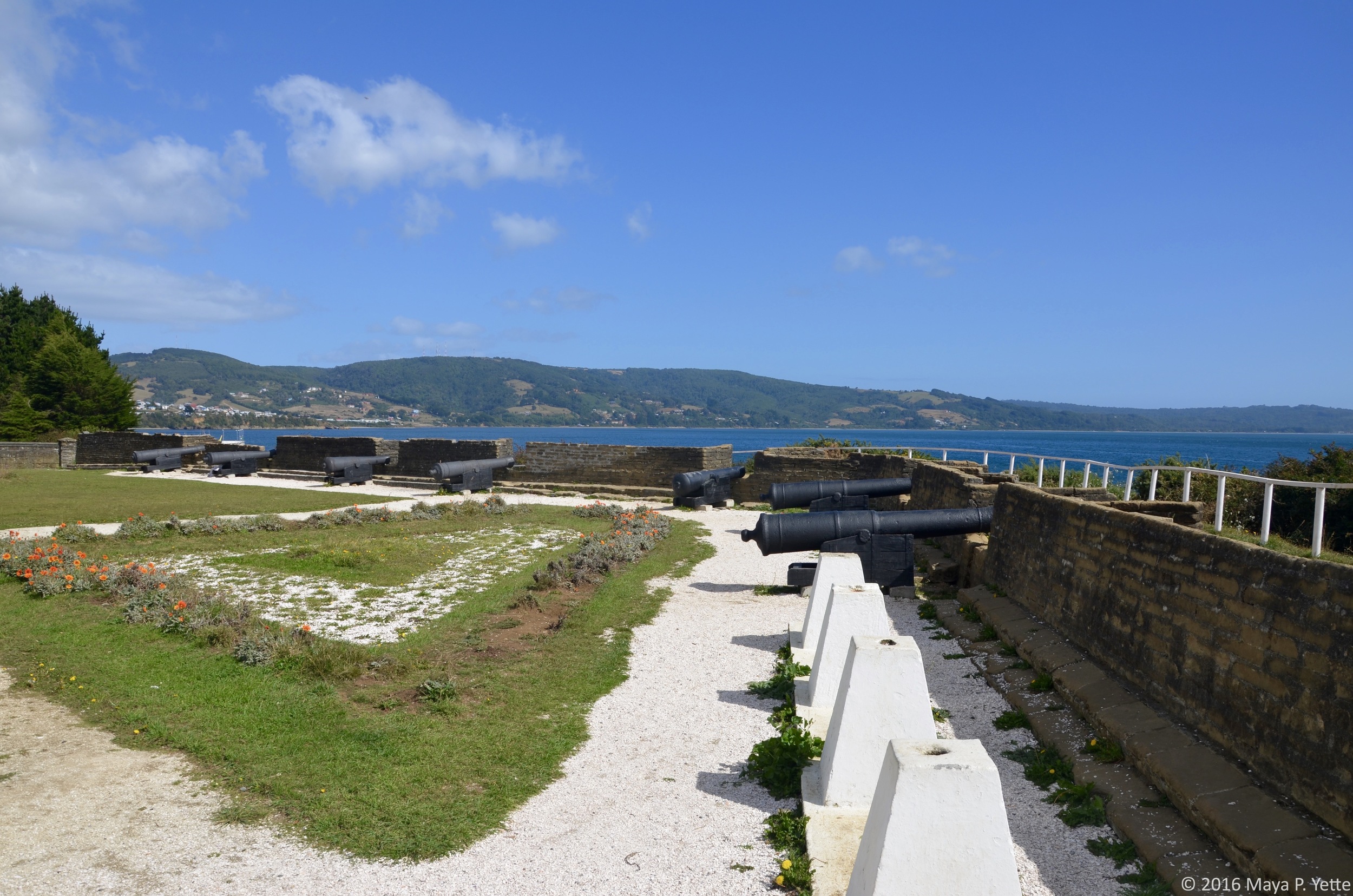
Wednesday was supposed to be Penguin Day. We booked a day tour to Isla Grande de Chiloé, the largest island in the Chiloé Archipelago and the second largest island in Chile (Isla Grande de Tierra del Fuego is the largest), primarily to visit the Magellanic and Humboldt penguin colonies that make their homes off the island’s shores. After taking a car ferry to Chiloé from the mainland, we drove through rolling farmland, passing more cows than people, to Puñihuil where the tours to the penguin colonies depart. Sadly, we arrived too late in the season and most of the penguins had already migrated further south for the fall and winter (now we know that the best time to visit is December). We did manage to see a few penguins, including a baby, which we joked were planted there by the tour companies. Despite not seeing many penguins, the tour off the coast of Chiloé was beautiful and we did even see a bear! (Don’t worry, I don’t think the stone really looks like a bear either.) If we had more time on Chiloé I would have liked to visit Castro, the capital, but we had a quick lunch in Ancud and walked around Fuerte Real San Antonio, an 18th century fort, before heading back to our hotel.

THURSDAY & FRIDAY

After all of our time spent communing with the great outdoors in the first half of the week, we rounded out our trip with 24 hours in Santiago, Chile before heading back to Buenos Aires on Friday. Santiago was quiet while we were there because during Semana Santa (Holy Week) leading up to Easter everyone heads off to the beach. We managed to keep ourselves occupied with an afternoon at the artisanal market, Centro Artesanal Los Dominicos, and a morning spent wandering around Plaza de las Armas and a few photography exhibits at the Cultural Center beneath Palacio Moneda, which houses Chile’s presidential offices. I definitely could have spent a few more days in Santiago and hope to be back one day.                     

***

All of this was an enormous amount of travel to pack into one week (well, five days really), but Roxie and I are no strangers to crazy travel. (We took our post law school “Bar Trip” together and in one month managed to traverse eleven cities in six countries across two continents.) Last week was a reminder of how fun it is to travel together and now that Remote Year has moved our program from Istanbul to London (where Roxie lives) for the month of June, she’s already planning our summer weekend getaways!

Colonial Charm in Colonia del Sacramento by Maya Yette

Despite the abundance of things to do in Buenos Aires, I recently decided to take a break from the city and head back across Río de La Plata (the river that separates Argentina and Uruguay) to Uruguay. I spent the day with a couple of friends exploring the historic quarter of Colonia del Sacramento, a UNESCO World Heritage Site. After a quick ten-minute walk from the ferry terminal, we found ourselves entering the historic quarter of Colonia del Sacramento through the old city gate.

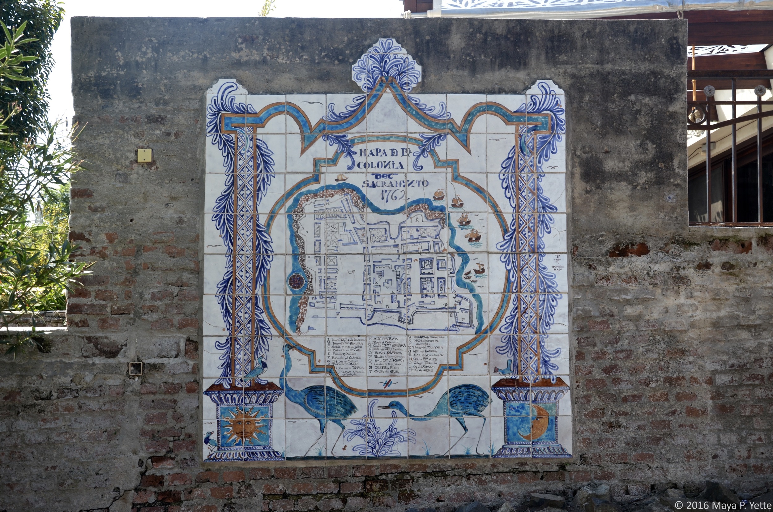
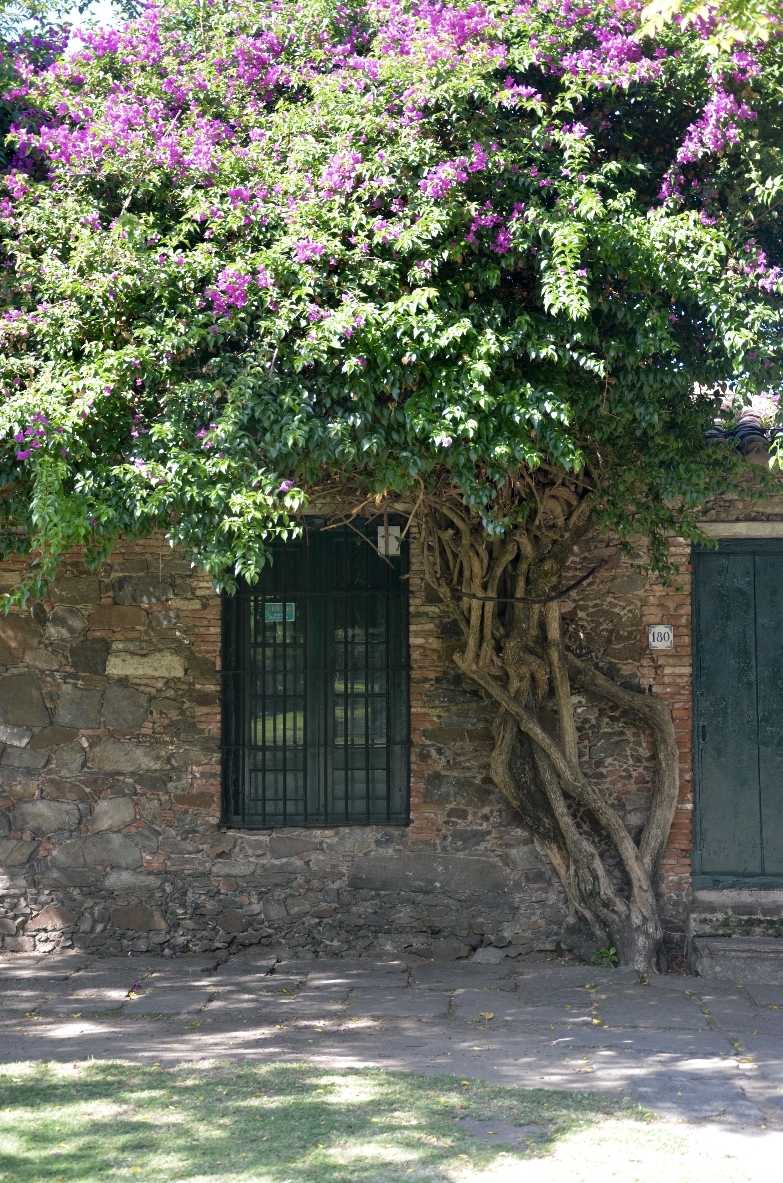
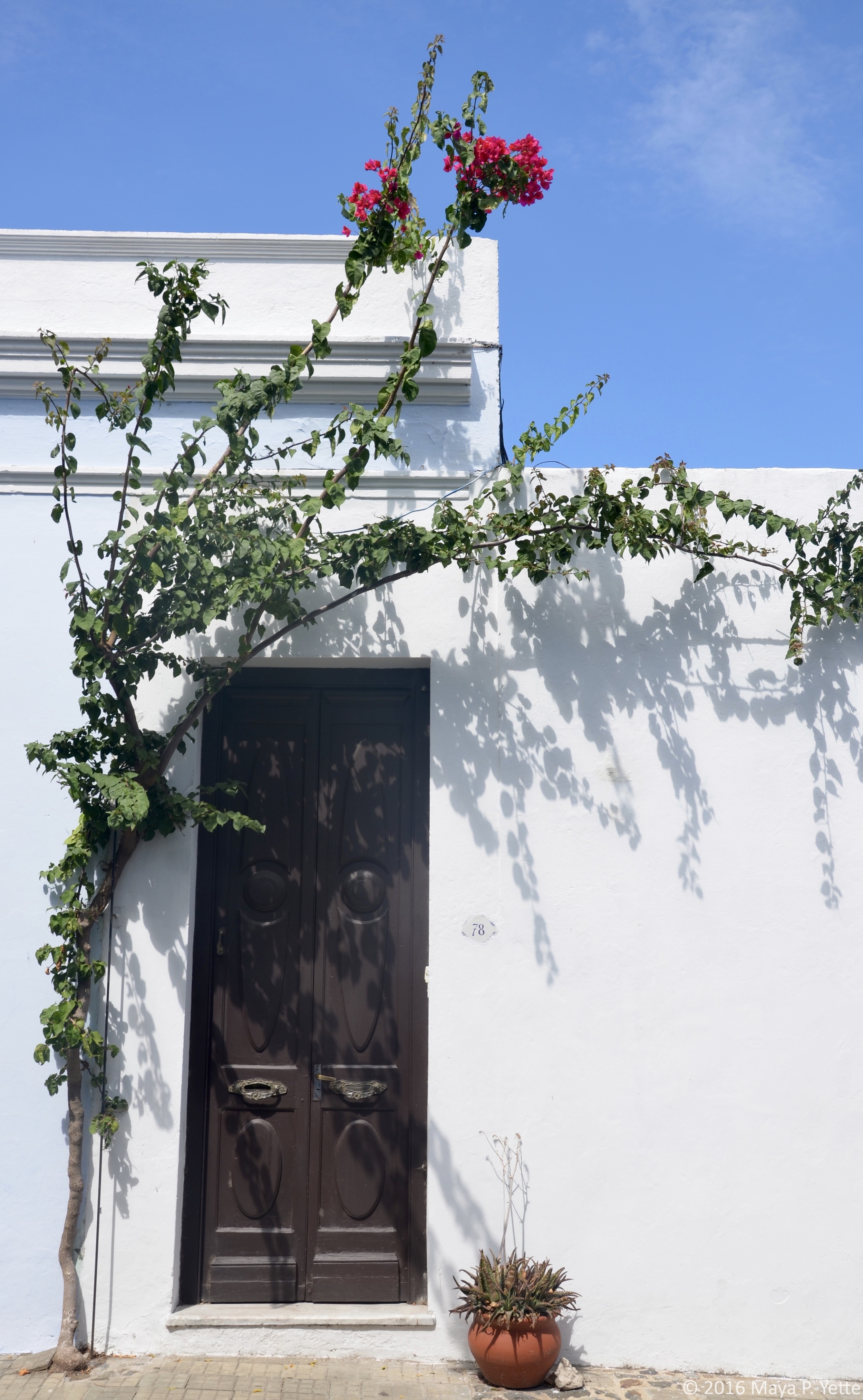
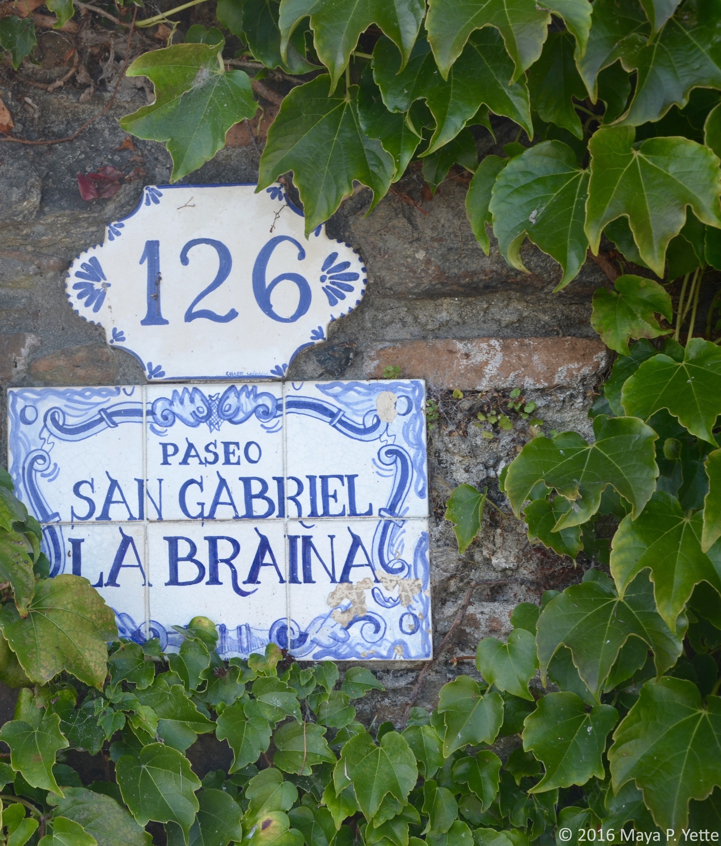
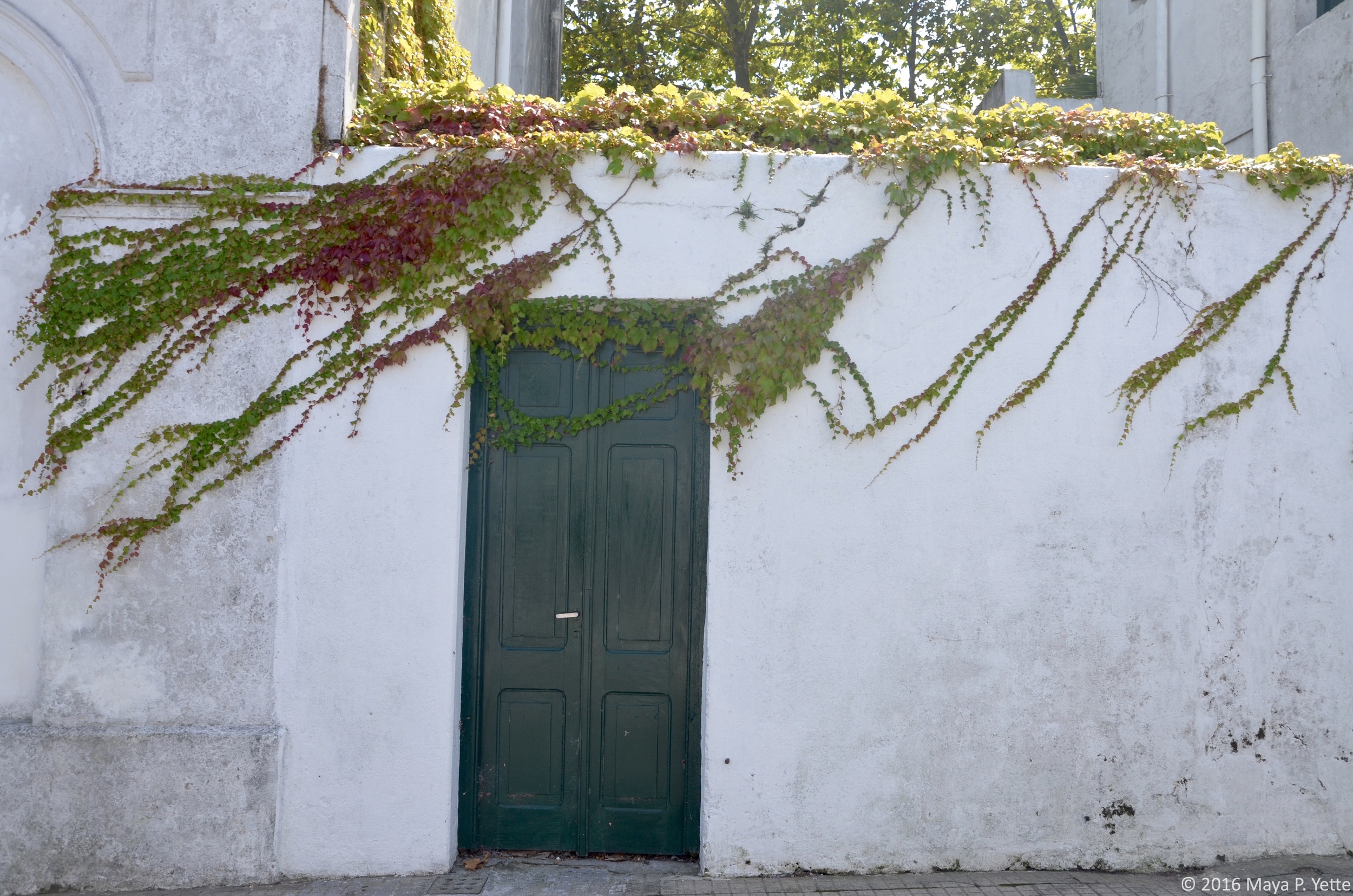
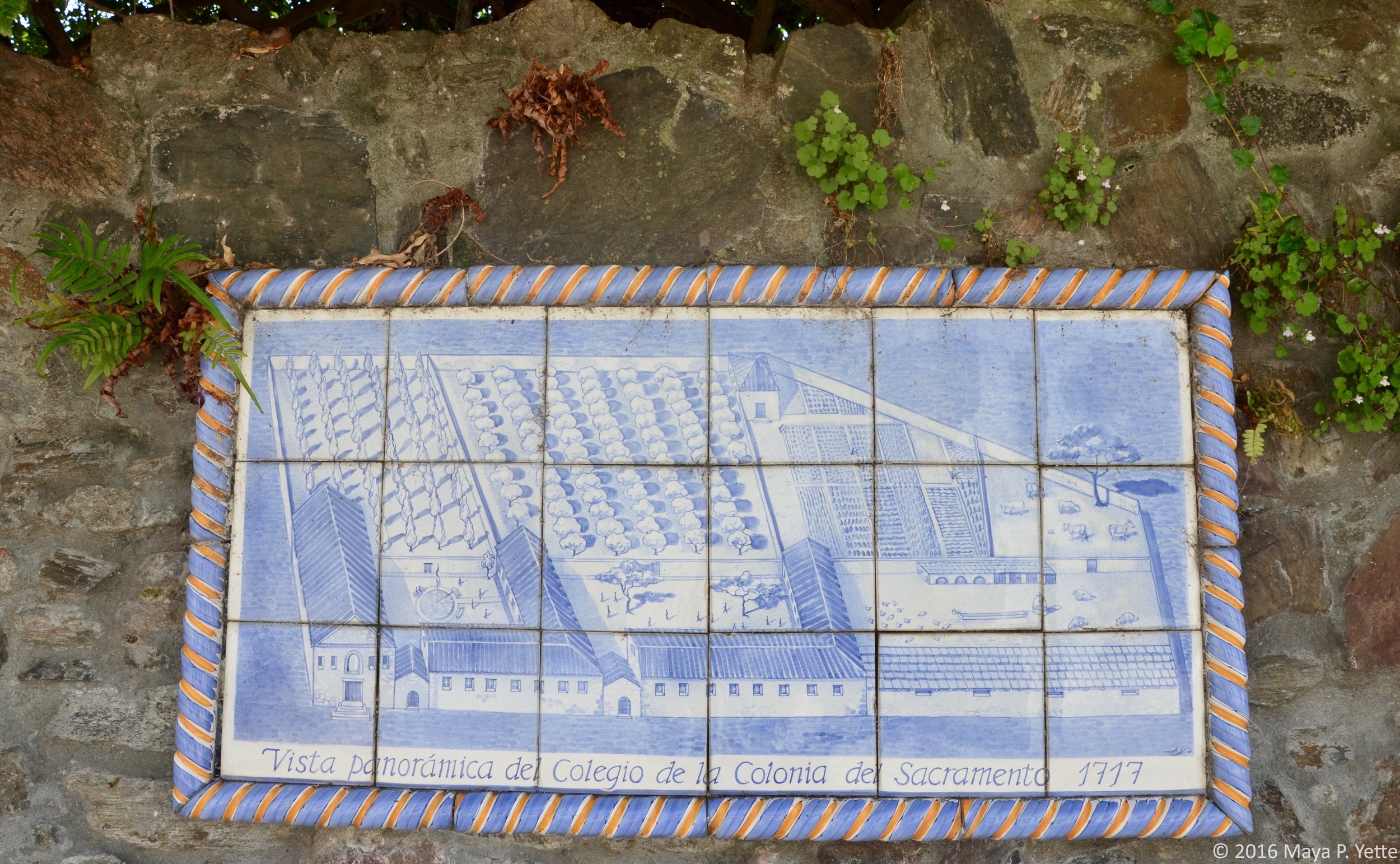
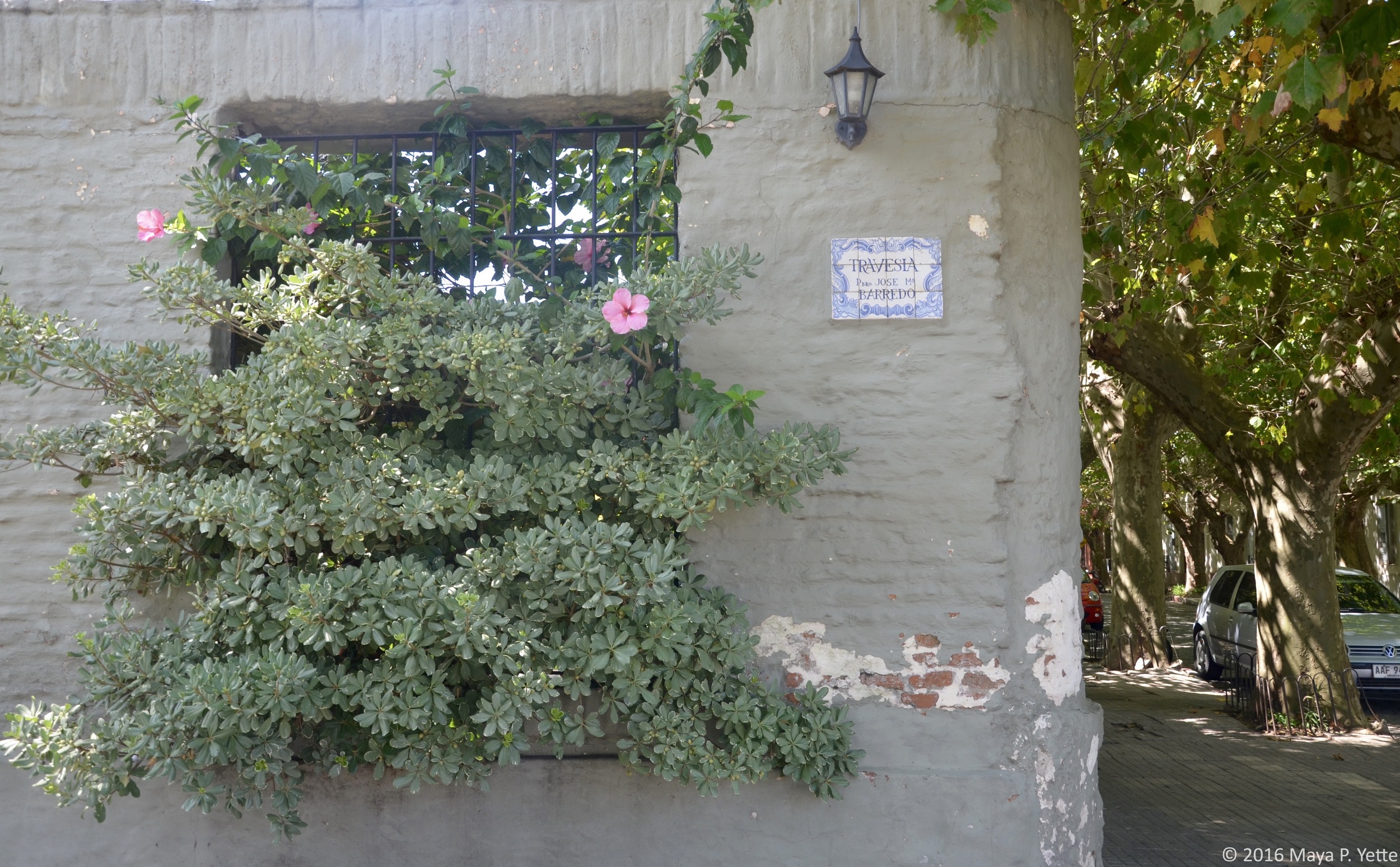
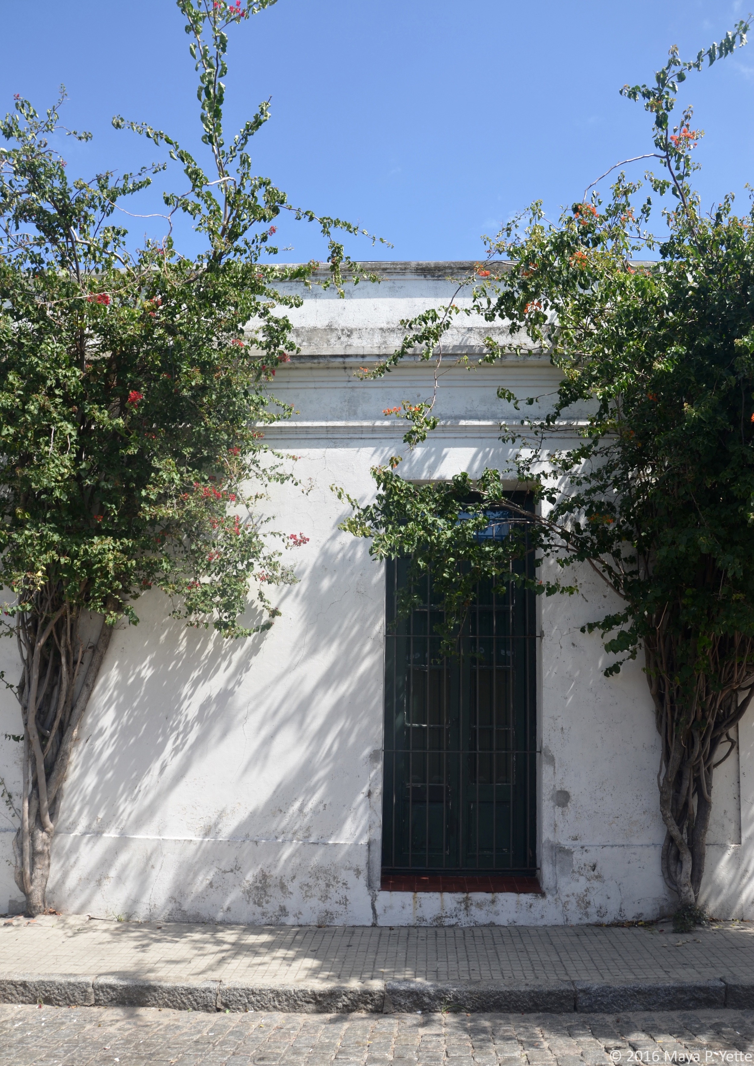
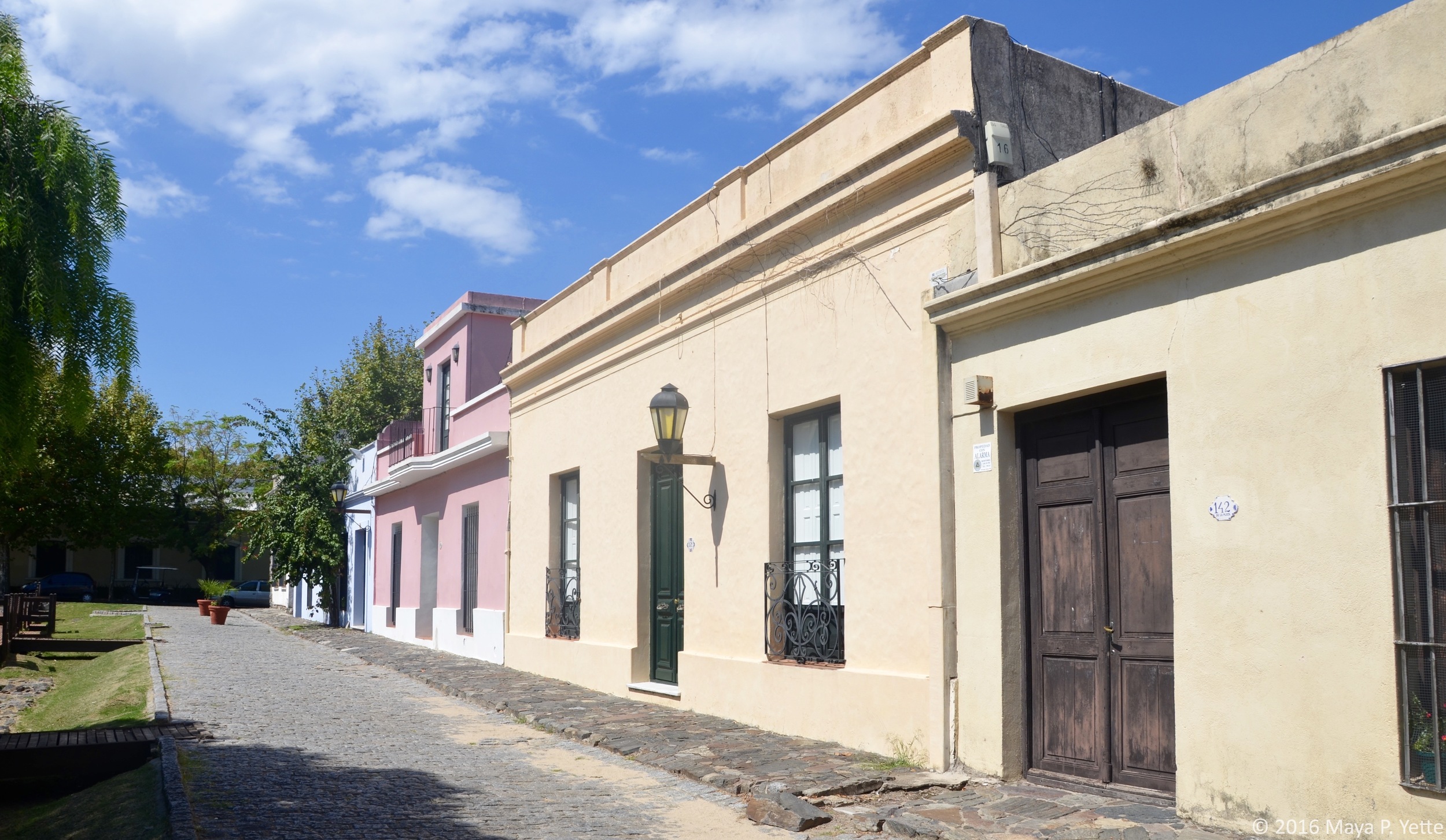
Colonia del Sacramento was founded in 1680 by the Portuguese as an important defensive port against the Spanish. The Portuguese ultimately lost Colonia del Sacramento to the Spanish nearly a century later, and UNESCO describes the historic quarter as “a successful fusion of the Portuguese, Spanish and post-colonial styles.” I don’t know enough about the difference between the Portuguese and Spanish styles to tell the difference, but I couldn’t get enough of the tree-lined cobblestone streets, picturesque doorways and ceramic plaques that were scattered throughout the historic quarter.

There’s not much to do in the historic quarter other than walk around and admire the ruins (though I hear there are also some museums, none of which we visited), so one full day was plenty for us, and easily accomplished with a two-hour round trip ferry from Buenos Aires.

We began with breakfast at Charco, a hotel with a great bistro that sits right on the river. After breakfast, we walked around town taking pictures and exploring. In the middle of the historic quarter sits the former “Plaza de Armas”, which has been renamed Plaza Manuel Lobo after the founder of Colonia del Sacramento. Stone ruins of old buildings that used to surround the Plaza can be viewed from its walkways.

The historic quarter is also home to a lighthouse attached to the ruins of the 17th century San Francisco Convent, which we felt obliged to climb. While it’s always interesting to gain a new perspective on a place, the views from Colonia del Sacramento’s lighthouse were no match for those we got from the lighthouse in Cabo Polonio, another town along Uruguay's coast.

After our morning stroll through the historic quarter and climb up the lighthouse, we were ready for lunch. Options in Colonia del Sacramento are limited midday as many restaurants don’t open until dinnertime, but we managed to find some food to hold us over until we got back to Buenos Aires. After lunch, we took another walk through the town, stopping in some of the shops and boutiques we’d noticed in the morning. After we had our fill of shopping, we stopped for ice cream and walked along the old stone walls that surround the historic quarter.

As the sun started to dip lower in the sky, we headed towards the riverbank and sat at one of El Torreón’s outdoor tables to watch the sunset with a glass of wine. We were so engrossed watching the sky light up in shades of orange and red that we nearly missed our ferry back to Buenos Aires, but it was well worth it and the perfect end to our day! 

New Beginnings in Buenos Aires by Maya Yette

Buenos Aires is overwhelming. Not in a bad way. More in the sense that we’re only here for a month (yes, I realize most people visit for a much shorter period of time) and I still don’t feel like I can do all the things, visit all the cute cafés, eat at all the great restaurants and really take in all the different areas of the city. I’ve made some headway in the last week and a half since we’ve been here, but unlike Montevideo, BA is definitely a city that I’ll return to.

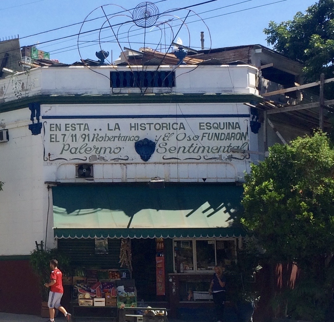
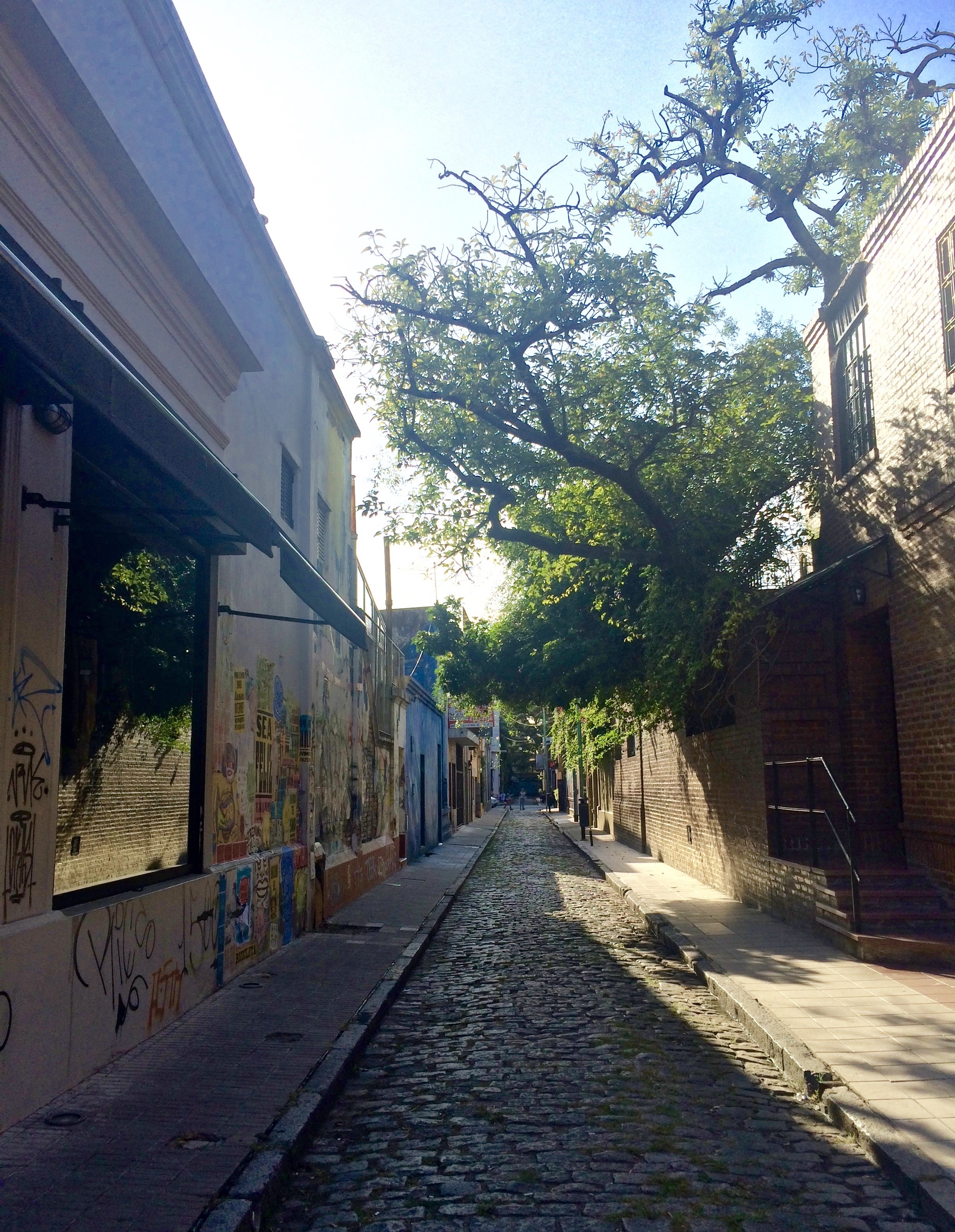
We’re staying in the Palermo neighborhood of Buenos Aires, which is a pretty trendy part of town and itself is composed of smaller areas like Palermo Soho and Palermo Hollywood. This month, our group is spread across five different apartment buildings rather than two hotels right next to one another, so we no longer see everyone all the time. A lot of us rarely go into our co-working space, La Maquinita, because we have so many cafés to choose from and it takes some of us longer than we'd like to walk there, which further cuts down on our facetime. To be honest, it’s a little refreshing to not travel in huge packs all the time like we tended to do during our first month in Montevideo.

Highlights of our time in BA so far include a bike tour around the city and two very different live performances. 

The bike tour was organized by Remote Year’s local contact in BA, Gon. He and his girlfriend led a group of about 15 of us around all afternoon. I gained an even greater appreciation for just how big the city is and how varied its barrios (aka neighborhoods) are. We started in the Recoleta neighborhood where we rented our bikes and then rode through the more industrial port area of Puerto Madero. From Puerto Madero we took a break from the city streets to ride through the Reserva Ecológica that borders Rio de la Plata (the same river that runs to Montevideo).

After enjoying the greenery in the ecological reserve and almost running over two snakes that were crossing the road as we cycled past, we continued our ride to La Boca, where we stopped for lunch and walked around a bit admiring the colorful old buildings. After lunch in La Boca we struggled a bit to get back on our bikes, but we had one more stop to make before heading back to Recoleta: San Telmo, which is known for its Sunday flea market, and definitely not the best place to try and squeeze through the crowds with so many bikes! I'll have to go back another weekend to really enjoy the experience.

The performances we saw gave us a glimpse at the creative culture in Buenos Aires. The first performance we saw last Friday, Fuerza Bruta, is an incredible hour-long show that I can’t really describe in words -- I didn’t even attempt to take photos during the show. One of the other Remotes advised us in advance not to Google the show or look up anything about it because part of the experience comes from not knowing what is going to happen when you walk into the room. You remain standing the whole time as the show takes place all around you and I couldn't help but stare in awe at the intricate choreography and planning that went into creating the performance. The show originated in Buenos Aires but it also plays in New York, so I highly recommend you go see it next time you’re in either city! (Fair warning, if you’re claustrophobic, a few moments during the show may freak you out a bit.) Last night, we went to see La Bomba de Tiempo, a great improvisational percussion drum performance. No performance is the same because the director signals to the ensemble what to play based on different combinations of hand signals. The audience packed the outdoor venue to watch the show, dancing and moving along to the beat of the drums that filled the night air.

I’m really looking forward to exploring more of this amazing city, and even more excited that I’ll get to do so with my first official visitor this weekend!

Perfection on the Peninsula by Maya Yette

All weekend I felt like we were on an island. That’s how isolated and remote Cabo Polonio felt from the rest of Uruguay. From the rest of the world, really. Even on Google Maps, Cabo Polonio just looks like a massive blob of green along the coast.


We arrived on Friday afternoon following a four-hour bus ride from Montevideo. The bus dropped us off at the entrance to Cabo Polonio National Park and from there we had to catch a 4x4 truck to get us over the sand dunes and into Cabo Polonio.

That portion of the trip only took about half an hour, but it was definitely the most exhilarating. Five of us sat on a bench above the cab of the truck, ducking and dodging the impossibly green tree branches that jutted out along the path while hanging on for dear life (no seatbelts, just a bar to keep us from flying off!) and trying not to lose our cameras, iPhones and GoPros. As we drove through the sand dunes, I anxiously awaited my first glimpse of Cabo Polonio.

Once the trucks deposited us in the town (and by that, I mean a cluster of wood shacks that serve as hostels, restaurants and store fronts), we split into two groups and headed off to find our respective hostels/Airbnbs. One group was staying a little outside of the town while I was with another group at the Buena Vista Hostel. We booked the entire house through Airbnb and thought we’d have it all to ourselves, but quickly learned that we’d be sharing it with our hostesses, a rotating cast of their friends and a male dog named Melissa. They made us a breakfast of freshly baked bread, scrambled eggs (which have proven hard to come by in Uruguay), jam, cheese, tea and coffee every morning, so all was quickly forgiven!

After we settled in and had a leisurely lunch, the rain began -- it rained when we were in Punta del Este too, so I’m beginning to think Uruguay doesn’t want us to enjoy its beaches. As we sat on the porch watching the rain fall, I had a serious moment of “WTF am I doing here with no running water (there was water pumped through a well), no electricity (there was solar power), no WiFi and nothing to do with these people I’m only just getting to know?” As the rain abated and the sun began to set, we decided to venture to the other side of the peninsula to watch the sunset. Almost as soon as we stepped out from the cover of the hostel’s porch, we turned around and saw a rainbow. At that moment, I was reminded of exactly what I was doing there.

We raced through the streets and made it to the top of the sand dunes just in time to see the sky light up in varying shades of yellow, orange, purple and pink. As darkness descended, a group of Remotes who took the afternoon bus to Cabo Polonio joined us on the beach. They came bearing empanadas and wine, so we had a picnic on the beach before heading back to the hostel where we sat around a bonfire talking, laughing and star gazing -- with no light pollution, there was a seemingly infinite number of stars in the sky above us.

During the day on Saturday, we wandered around Cabo Polonio, traipsing across huge rocks to catch a glimpse of the sea lions that frequently sunbathe there (we’d also spotted some dolphin fins in the water the previous day) and climbing to the top of the lighthouse where we had a full view of the peninsula. We were joined on our walk from the lighthouse to lunch by one of the many horses (this one a foal) that roam around town. After lunch, the high winds at the beach sent us packing prematurely, but not before we spent some time swimming in the waves.

Saturday night in Cabo Polonio was largely a repeat of the first: head to the beach for sunset, dinner and bonding around a bonfire. Despite the sunset on Saturday not quite measuring up to Friday’s, we did discover that there were bioluminescent organisms in the water! This naturally led to lots of stomping and splashing through the water so that we could watch in awe as the water lit up in a bright blue-green color around our feet.

It was hard to pack up and leave Cabo Polonio on Sunday, but after squeezing in a few more hours soaking in the sun's rays, we boarded the 4x4s and made our way back across the sand dunes to the bus that would return us to Montevideo for our final week in Uruguay.